Switchbacks to Goat Lake
Michael I ride from Boise through Prairie and across the mountains to Pine and Featherville before turning north to camp around a high mountain lake. We cover highway, gravel, dirt roads, ATV and singletrack, a real dual sport adventure.

Bonneville Point
The seventh annual Abbott Brother ride¹ is to be hosted in my neck of the woods for the first time. As such, there are high expectations about the quality of sights and trails.
As I played with possible route loops, I noticed a good bit of highway could be avoided with a trail through the mountains between the South Fork of the Boise River headwaters and Alturas Lake. Only problem: I’d never ridden it. It could be awful.
So I asked my friend Michael if he’d be interested in scouting it with me. Of course he was. We’d talked a bit about that area when we were near Rocky Bar last fall.² Now it’s go-time.
We agreed to meet at my house Saturday morning in East Boise and head over the Oregon Trail behind Micron to Blacks Creek Road. We’ve had a few weeks of hot weather and it’s already warming up as we head out.
- Trail Image, “Brothers”: http://trailimage.com/…/brothers
- Trail Image, “Atlanta Loop”: http://trailimage.com/atlanta-loop
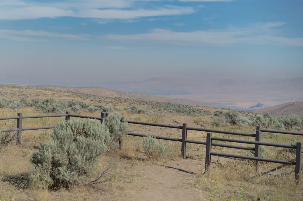
Le haze
Both the space and time of places impress me. As our modern suspension rapidly absorbs the ruts and rocks that represent the old immigrant trail, I think of wooden wagons lurching and jolting along this same path in a cloud of dust some 150 years ago — such different experiences.
Michael and I pause a moment at Bonneville Point to check straps and look back over Boise. The city is almost invisible under thick smoke drifting south from a Garden Valley forest fire.¹ We are eager to leave the hot, hazy air behind.
- InciWeb, “Whiskey Complex Fire”: http://inciweb.nwcg.gov/…/3955/
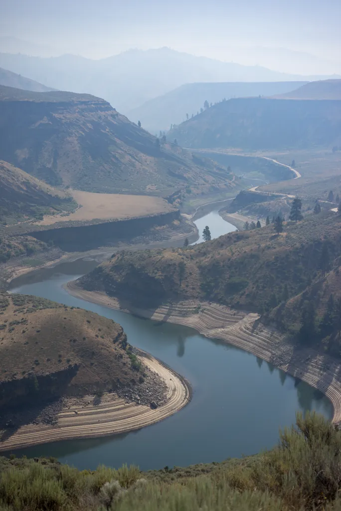
South Fork fade
I suspect the long dirt portion of Blacks Creek Road has been treated. It seems to have a crust, cracked in places, and is nearly dust-free. It makes a swift and pleasant ride to Prairie.

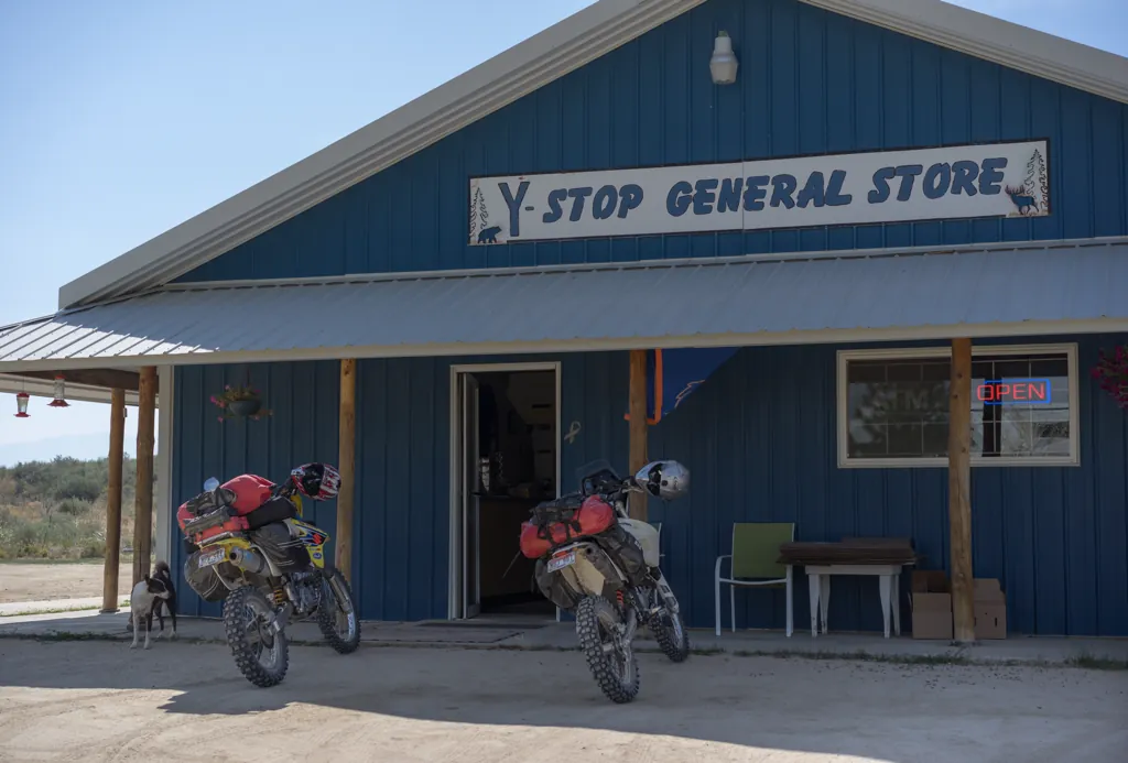
Rendezvous
Michael and I break at the cleverly named Y-Stop, traditional recreationist rendezvous, and sit a few minutes in the shade drinking diet sodas and playing fetch with the resident dog, vanilla-chocolate coat and bronze eyes, who seems pleased for the company.
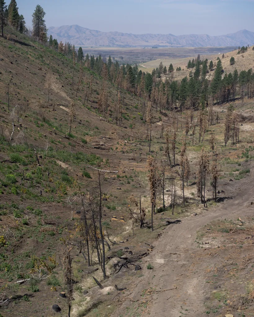
Lightning caused fires burned over 280,000 forest acres¹ between Pine and Prairie last August. Greens burned brown and browns burned black are the dismal decor of our continuing route.
- InciWeb, “Elk Complex Fire”: http://inciweb.nwcg.gov/…/3616/; and “Pony Complex Fire”: http://inciweb.nwcg.gov/…/3614/
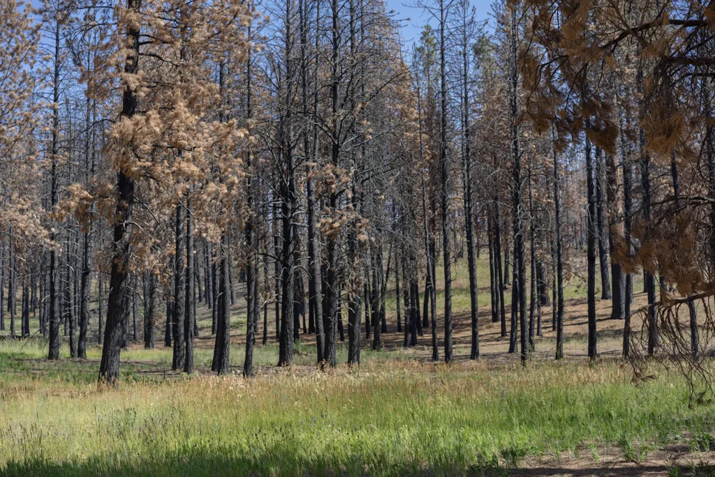
Pounded to powder by salvage logging operations, the road here billows dust.
Harvesting of 40 million board feet of burned timber already has begun and will continue through the winter and into next summer near the town of Prairie … As much as 100 log trucks per day will be coming in and out of the mountains when harvesting is occurring.¹
I am surprised to see several occupied campsites along Fall Creek amidst thoroughly burned forest. It’s charred and dusty but I guess the creek is still nice.
- Idaho Department of Lands, “Taking Burned Trees to the Bank” (Sep. 4, 2013): http://commerce.idaho.gov/…/idaho-department-of-lands-taking-burned-trees-to-the-bank
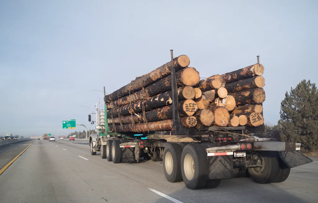
Salvage logging
Because the nearest mill that can handle this timber is in Oregon, I’ve several times seen a parade of fast moving logging trucks on Interstate 84.

Anderson Ranch
Emerging from our post-apocalyptic, twenty mile ride from Prairie through bleached earth and blackened trees to boaters and beach-goers in sparkling blue water at Anderson Ranch Reservoir makes me think of the legend of Emperor Nero, said to have sat fiddling, amusing himself, while the world (Rome) burned.

South Fork valley
After topping off our tanks at the Nitz Pine Store, we head north to Featherville then east along the South Fork of the Boise River.
“That was farther than I was expecting,” I say to Michael when we reach the intersection to turn north up to South Fork headwaters. Those couple inches on the map were twenty-five miles of gravel road. But at least it’s put most of the smoke behind us.
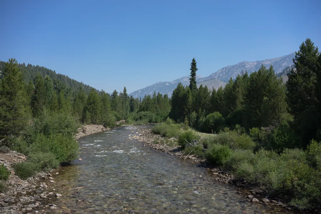
Across the Boise
The valley is wide and the road straight along the South Fork here. We notice several cabins for sale, perhaps anticipating inevitable forest fire, I muse.
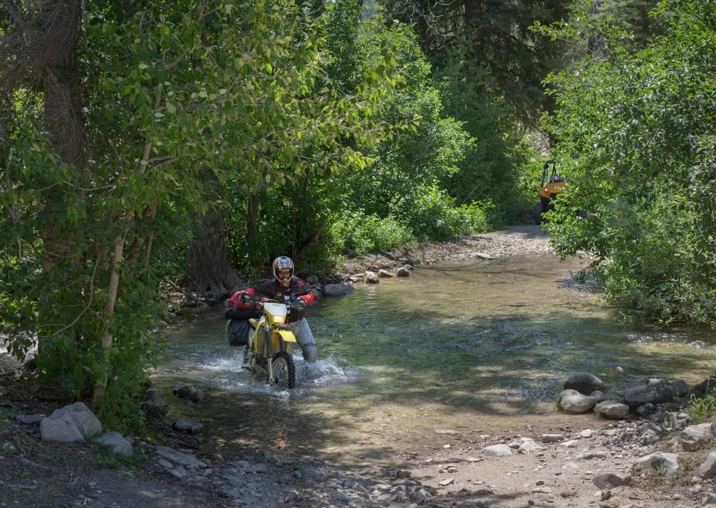
Bear Creek crossing
We leave the South Fork to follow Bear Creek into higher mountains. The creek crossing looks a little deep and rocky. With gear and gadgets that wouldn’t survive dunking, we take the cautious approach, willing to trade wet feet for dry luggage.
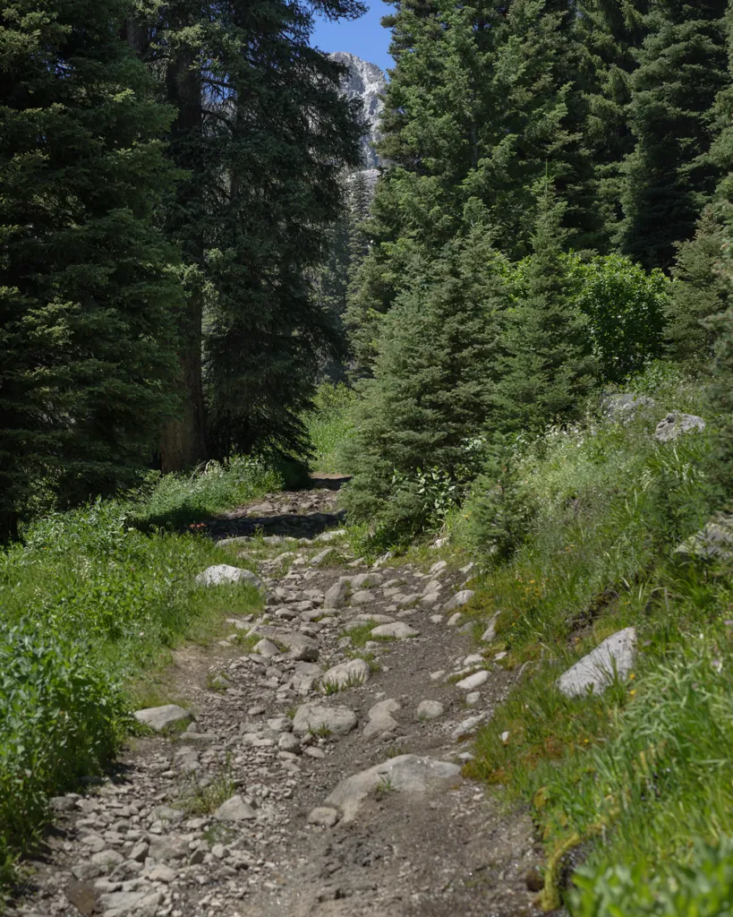
The trail aside the creek is a Forest Service road, if memory serves, but it doesn’t look like more than an ATV track.
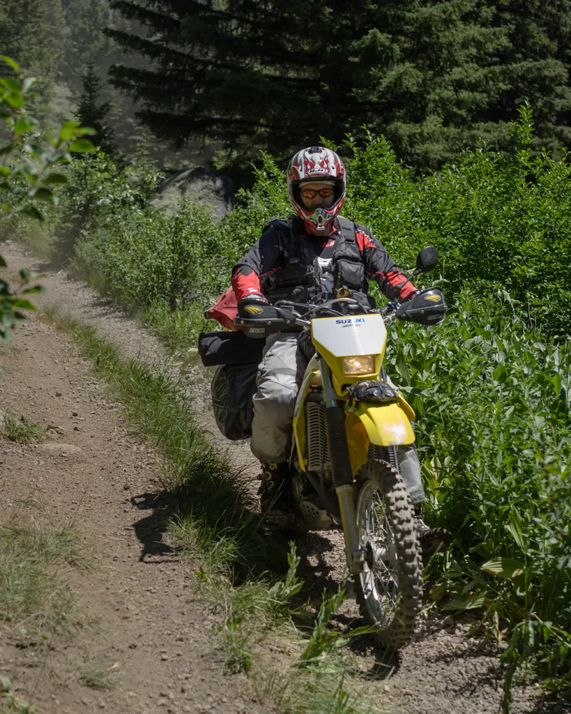
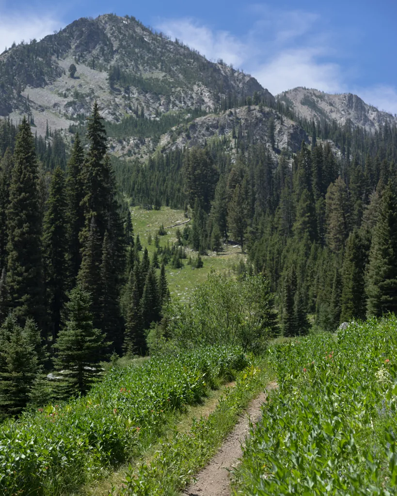
After about four miles of straight stretches and wheely-worthy swells, we arrive at the intersection with the Goat Creek trail, a hard right up and out of the pretty meadow.

We are on the pegs, leaning, twisting, modulating throttle to navigate slopes of “baby heads” — riders’ affectionate if gruesome name for loose rocks of that general size and shape — as soon as we leave Bear Creek. It feels a bit like exercise.
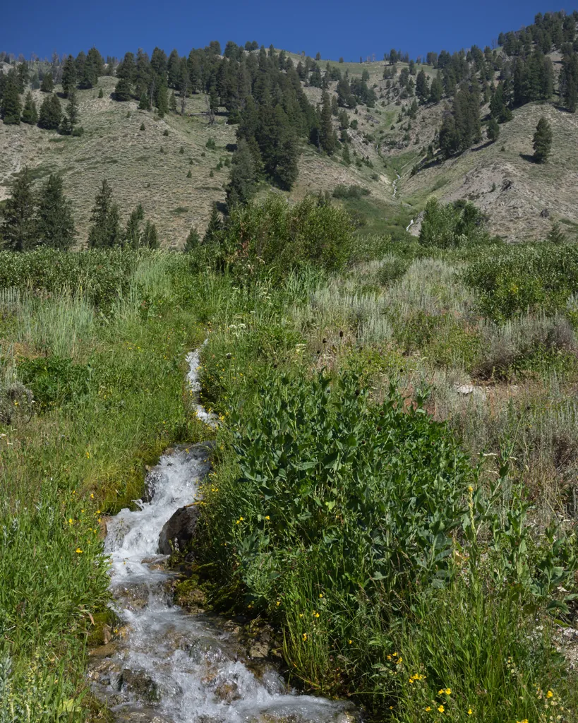

As if to reward our accomplishment, a rainbow of flowers and the babbling sound of snowmelt surround the easy trail beyond the steep and rocky initiation. It’s stuff like this we ride for.
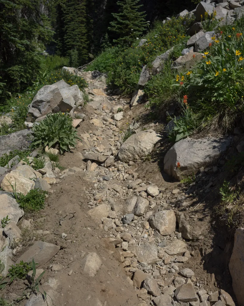
Switchback
We have only come about a mile-and-a-half up the mountain along Goat Creek, now in a ravine well below, when we see the narrow line of dirt receding into trees. There is about a mile of singletrack to complete the ride into Goat Lake.
Our thought in coming this way was to drop gear at the lake then descend and explore motorcycle trails in the surrounding mountains, reconnaissance for my brother ride, but already I’m not enthusiastic to repeat the day’s rocky climbs.
But one thing at a time. Let’s see what this trail is like.
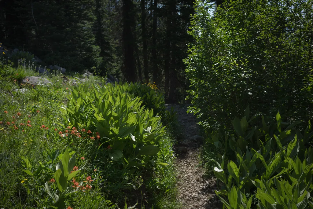
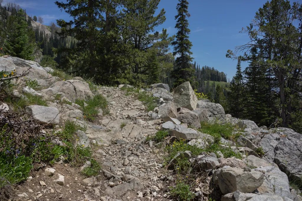
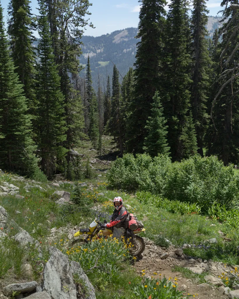
There are tight switchbacks that take some maneuvering on our loaded bikes but nothing alarming. It’s a fun little track, I think. As we pause a moment after navigating one switchback, we hear yelling from above.
“It gets better up here!”
Accustomed to condemnation, if anything, from hikers it takes a moment to register. They’re encouraging us onward. A set of UTVs were parked back at the singletrack trailhead. This must be them.
“Good, thanks!” I yell back with a wave.

Map share
“I don’t think we’ll ride up here again,” one of the UTV hikers tells us when we’ve reached the lake. “The trail has gotten a lot worse.”
We chat with him and his wife several minutes. Michael gets out a map to ask about other trails we planned to ride today, Emma and maybe Willow Creek. They’re about like the singletrack we just rode, we conclude.
“I think that’s all I need to know,” I say. My brother Joel’s KLR loaded for five days wouldn’t be much fun on a trail like that — reconnoissance complete.
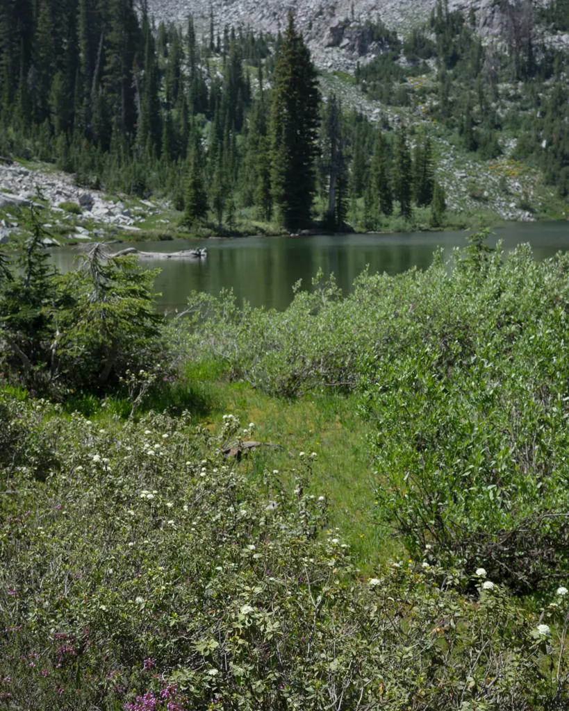

Howdy pardner
We also talk a while with a group on horseback, a few adults and a few kids. They’re sitting in the shade at the lake’s edge.
“I tried to ride my motorcycle on some trails like this,” one of them says, “and turned around.” (I think it’s a CRF 230 or similar he says he has.) “Got stuck and almost couldn’t get out. Horses are a lot easier,” he concludes with a chuckle.
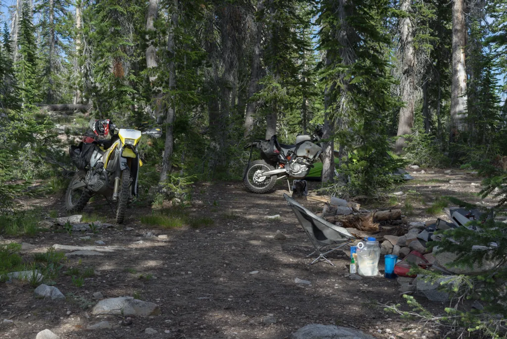
Campsite
In a matter of minutes, everyone has left. As we’re setting up camp, still undecided about the rest of the day, I notice the headlights in my Lynx fairing¹ are wobbling. That ain’t right.
- Britannia Composites, “Lynx”: http://britanniacomposites.com/…/lynxmenu

OBR Tool Roll
Building on the nexus of his professional and recreational expertise, Michael has started designing and selling durable adventure bags and pouches (www.obradvgear.com). This headlight issue is good reason to switch to the sweet tool roll¹ I got from Michael this morning. It fits the KTM toolset perfectly.
- OBR ADV Gear: http://obradvgear.com/

Wrapped tight
I pull the fairing to find the issue with the floppy lights. It’s no mystery: the adhesion has broken between the light bracket and outer fairing. There’s nothing holding it.
“I hope my QuikSteel hasn’t dried up,” I mention after sharing the problem. I’ve been carrying it around for six years.
“I have some if you need it,” Michael answers.

I notice vertigo whenever I stand up. Michael has felt the same. We conclude the 8,810 feet of elevation is giving us a little altitude sickness. He decides he’ll jump in the lake to perk up while we’re waiting for the epoxy to dry.
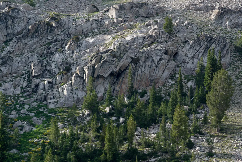
Across the water
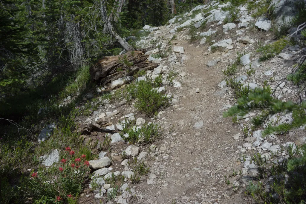
HIking from camp
“I think I’d be happy just hanging out here the rest of the day,” I suggest when Michael is back. “Or riding. Either one sounds good.” I feel pretty mellow now but I don’t want to sound like a wuss.
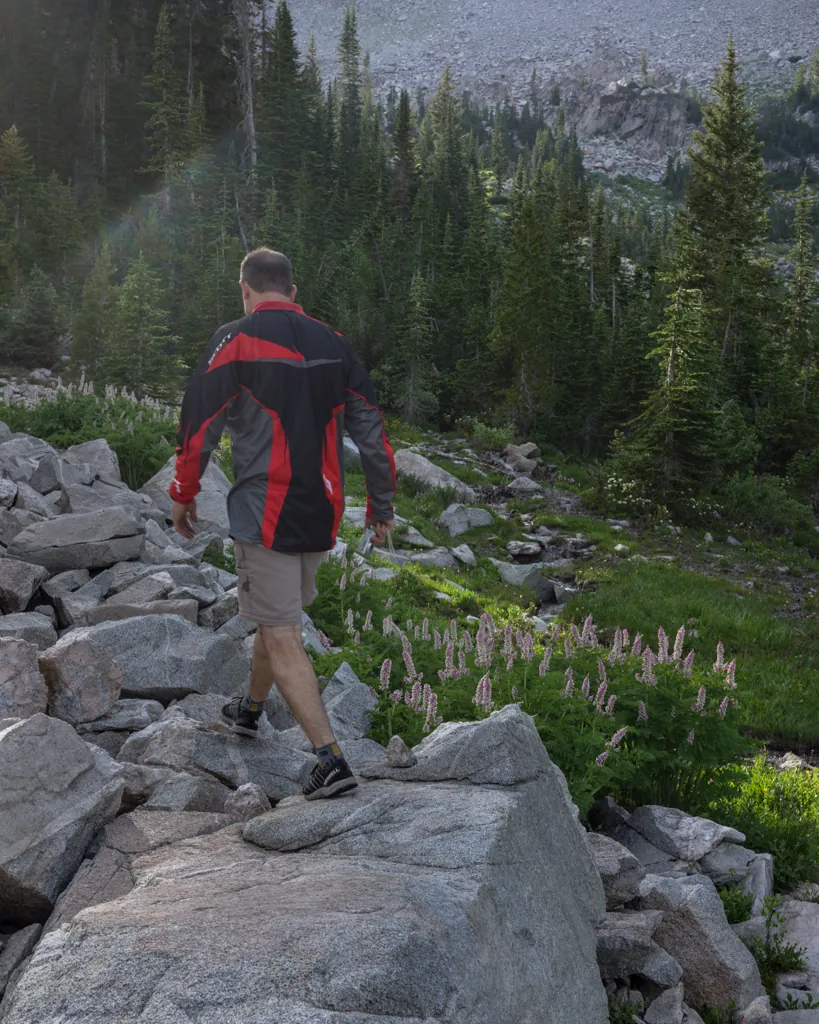
By the time Michael suggests a hike around the lake, it’s pretty much settled we’re done riding for the day. We’re going to enjoy the beautiful lake.
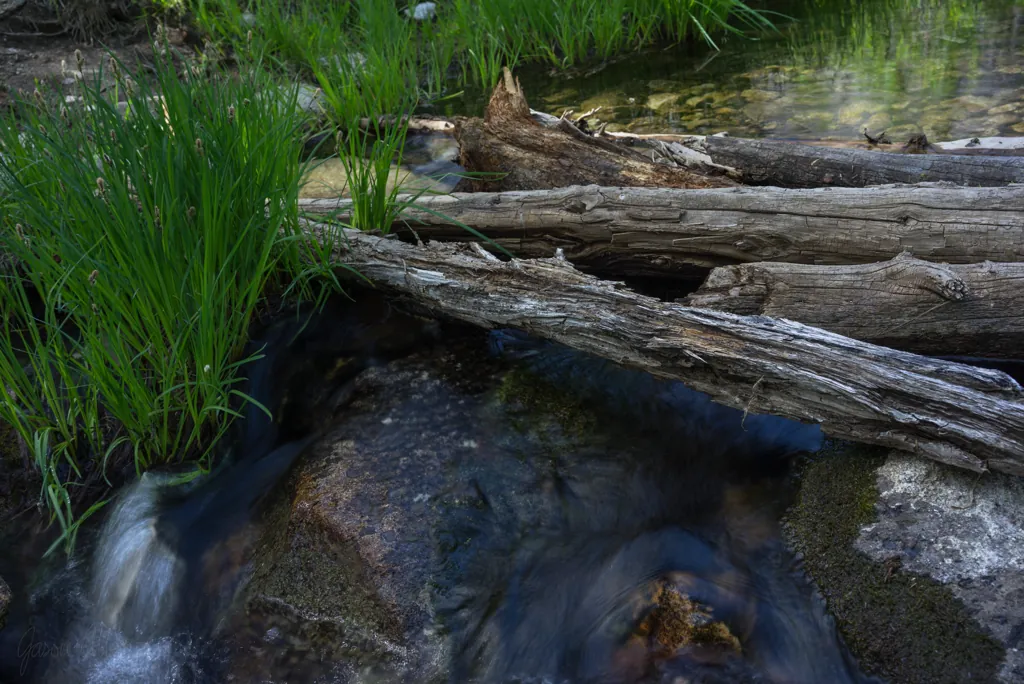
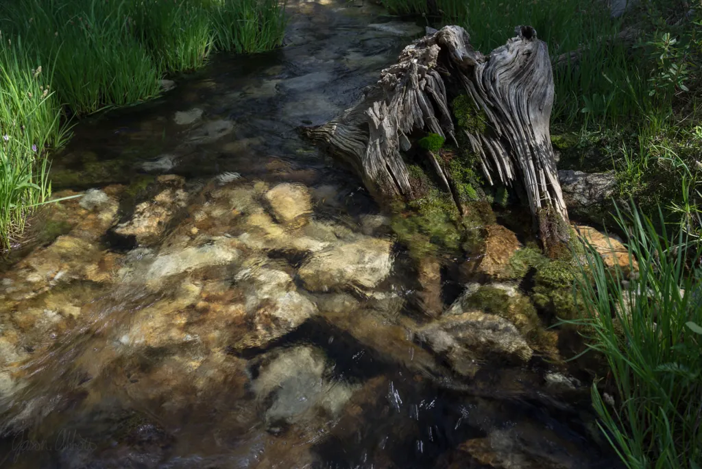
We set out walking clockwise across the head of Goat Creek next to our campsite, over water that will eventually flow near my house in the Boise River.
Hopscotch

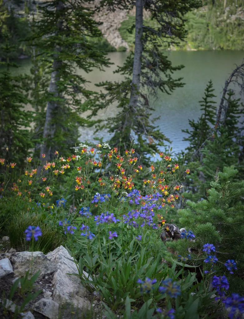
Variegated
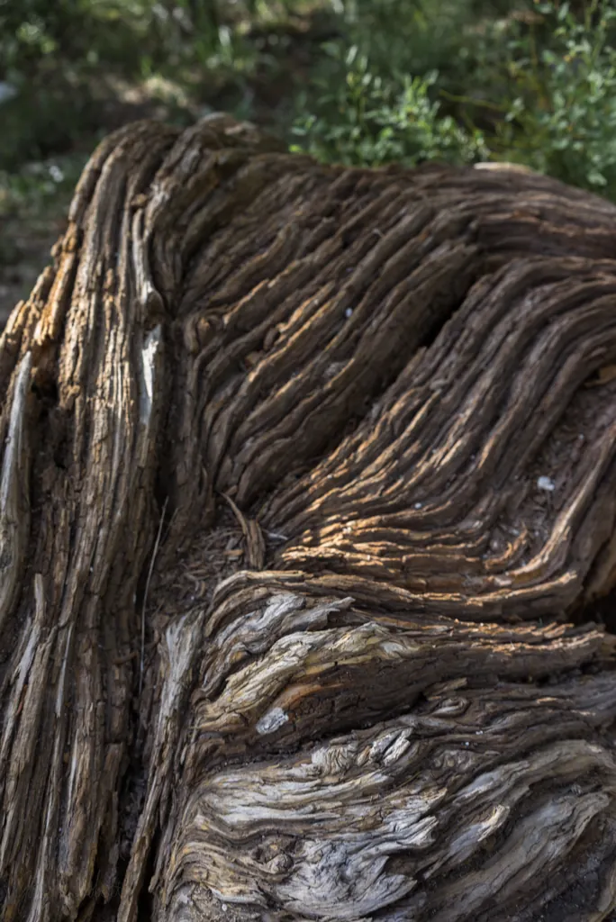
Trends

Above Goat Lake
We have kept our eyes out for goats but haven’t seen any yet.

Up creek
Michael leads us on what may be a goat trail, through brush and to an upper cirque. We thought we might see something there to account for all the water running into the lake but there’s only rubble.
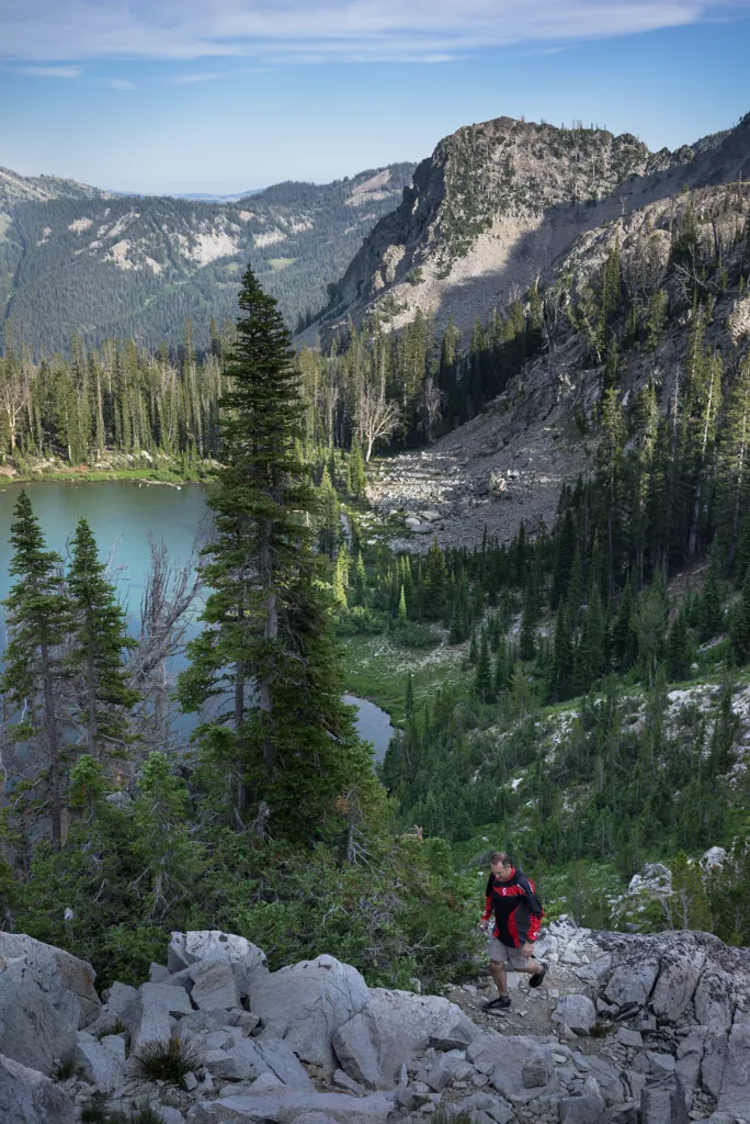
Finding the way
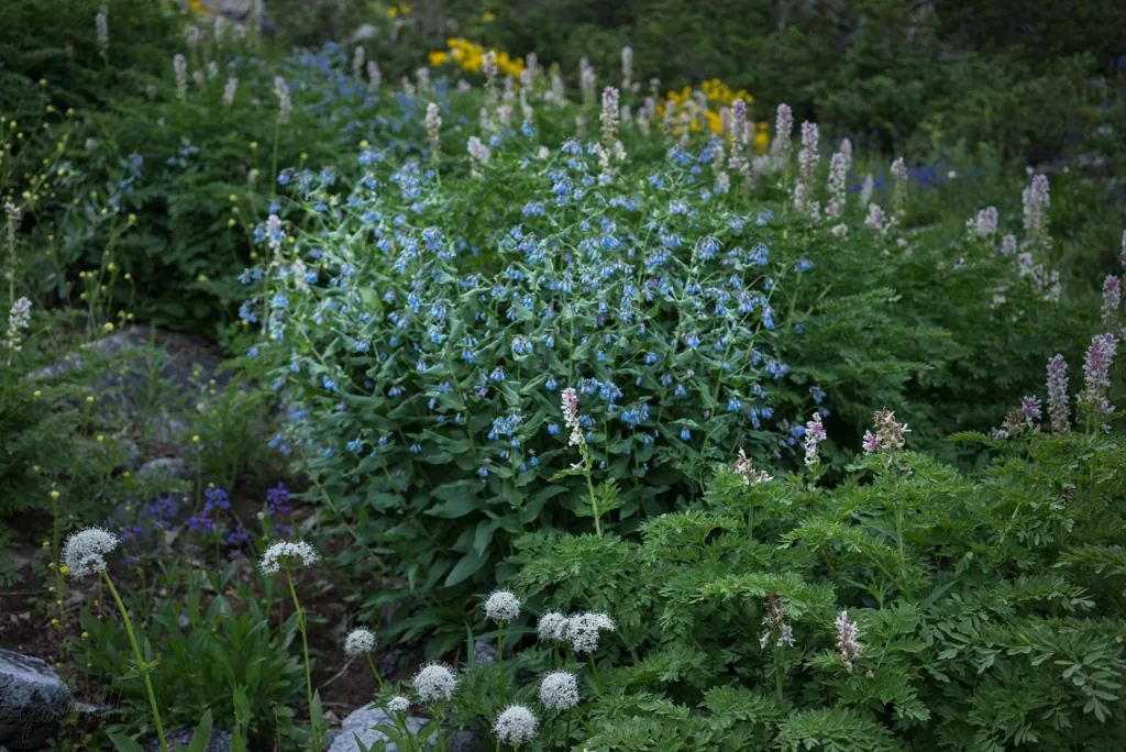
Flower garden

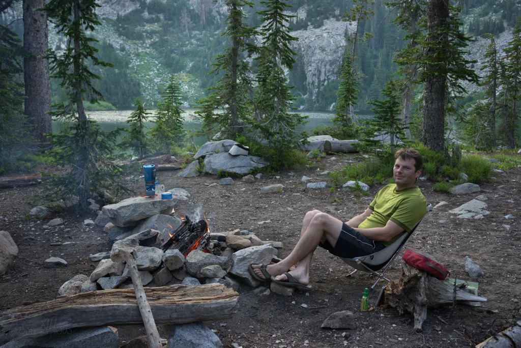
Settling in
“Sweet and sour pork, that’s my favorite,” I tell Michael when I see his Mountain House dinner back at camp. “I couldn’t find any at Benchmark.”¹
“I’ll trade if you want,” he answers.
“Nah, thanks, I’m curious to try this now,” I say, showing him the teriyaki chicken.
- Benchmark: http://benchmarkadventures.com/
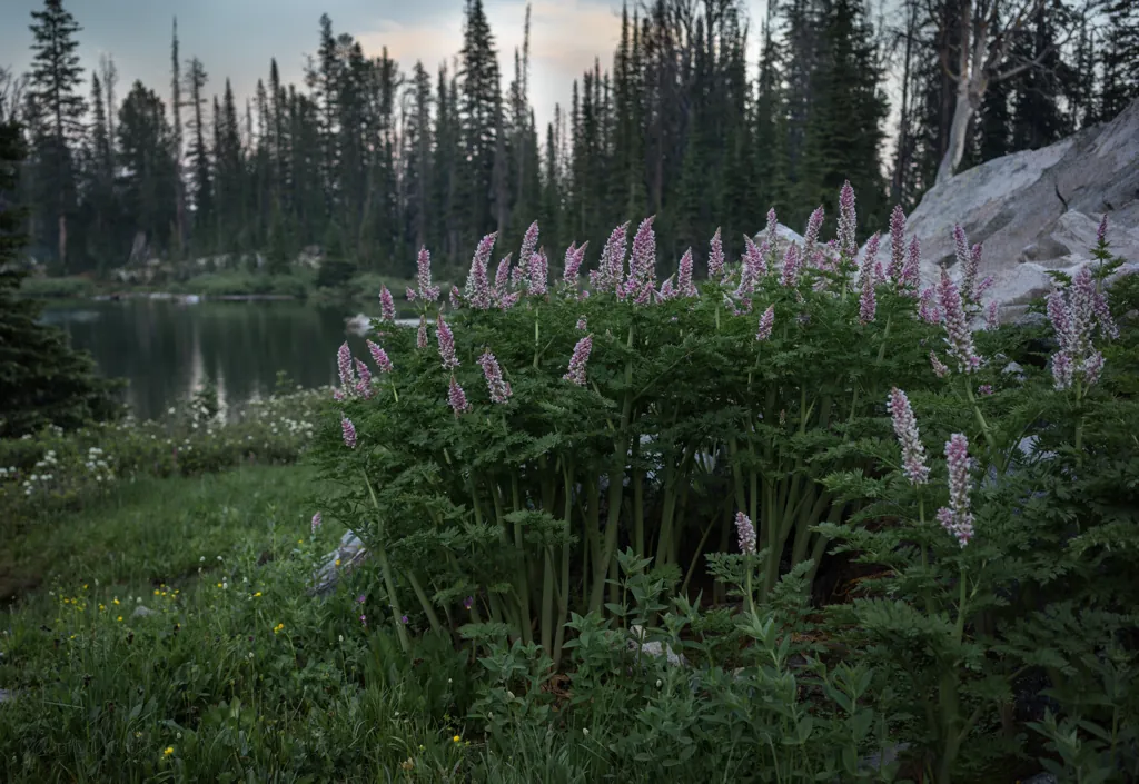
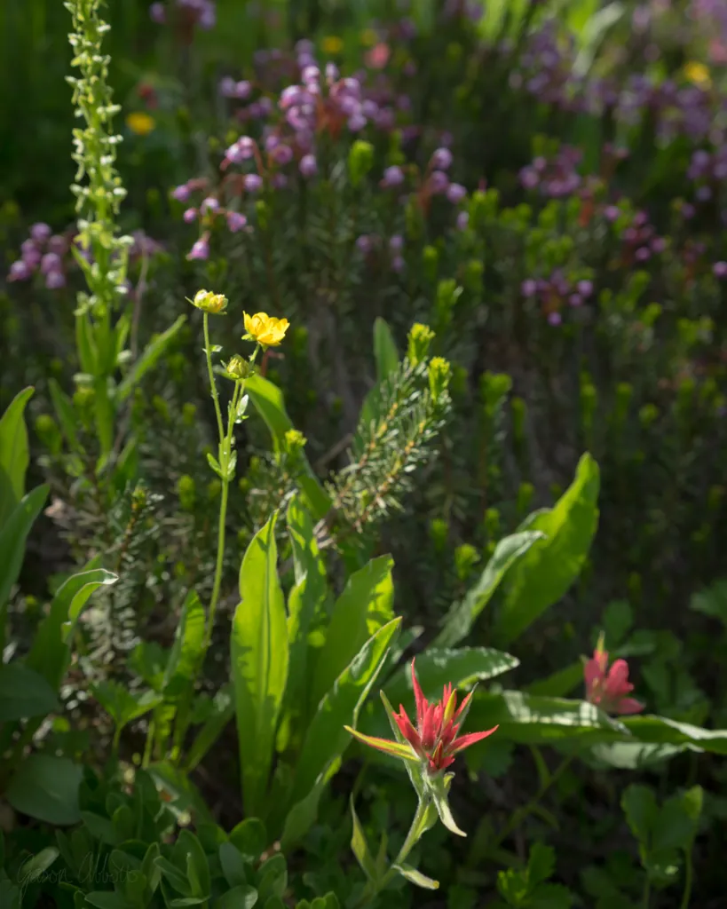
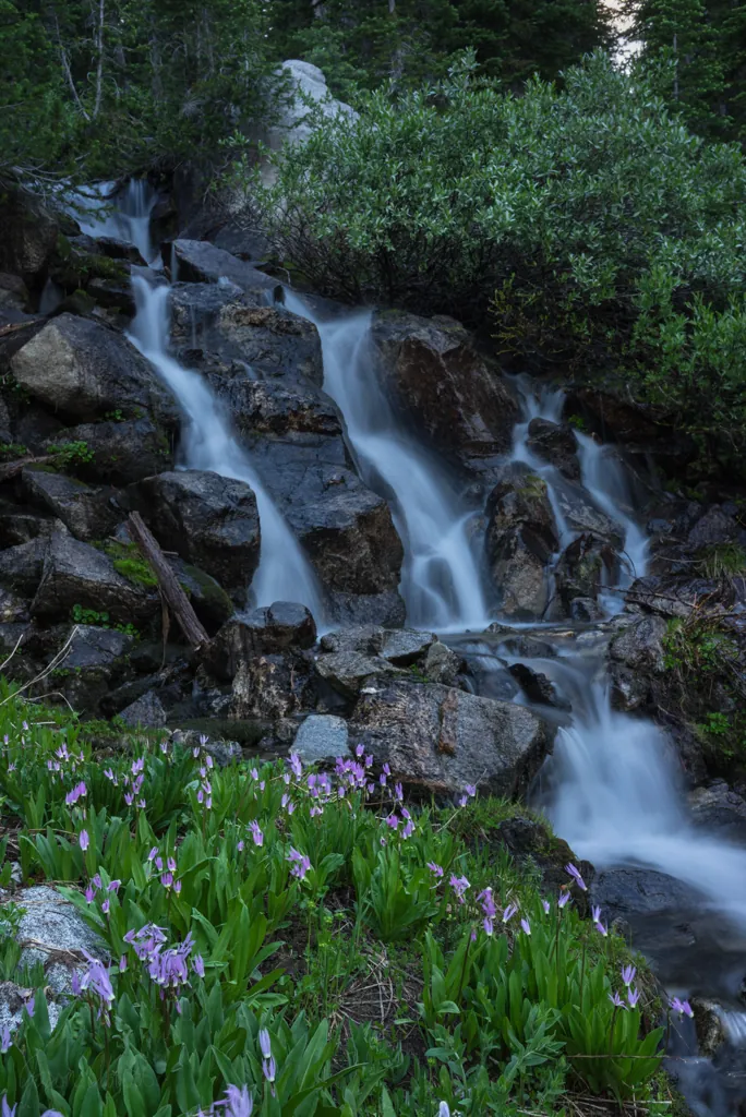
The variety of flowers around the lake are amazing. We also saw a vigorous little waterfall recommended by the horseback riders.
“I’ll have to come back at dusk for some long exposures,” I’d said to Michael when we saw it earlier.
Mosquitoes have come out at camp, annoying but bearable. But around the marshy area by the falls, they fly thick and voracious. I was reluctant to walk back this way but figured I would later regret it if I didn’t. So here I go. Shields up.
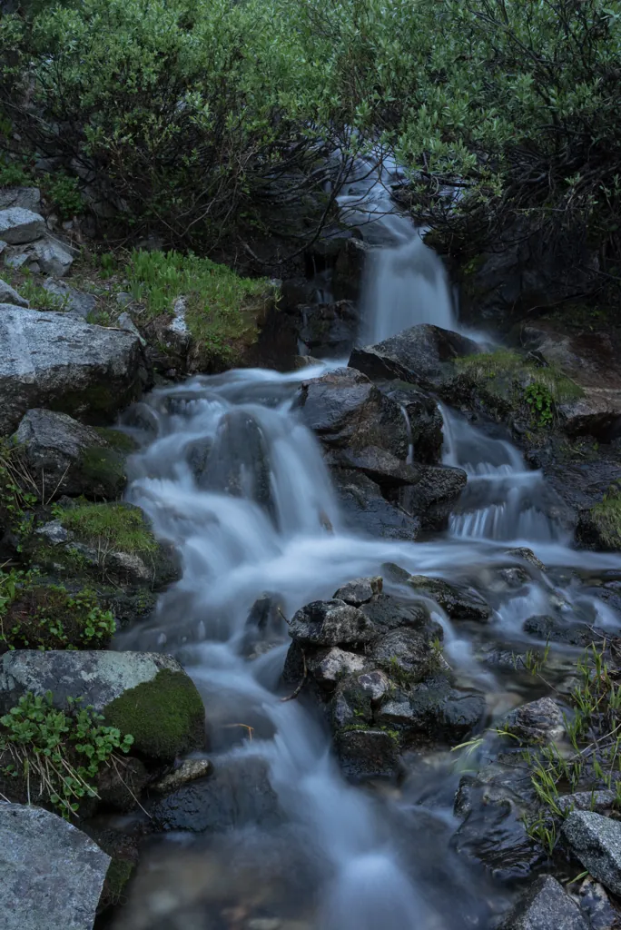
Lower falls
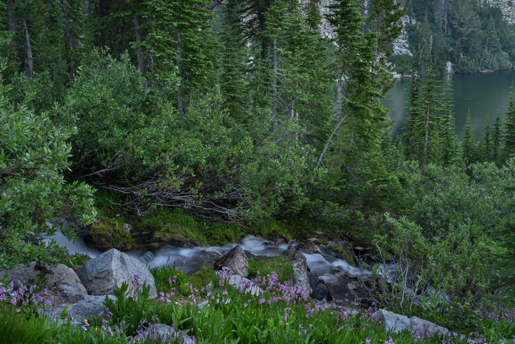
Three fingers
Mosquitoes are biting my arms, legs, back, neck and temples as I level the tripod, set the aperture and frame the shots. I wish I’d brought clothes with sleeves and pant legs. These had better be worth it!
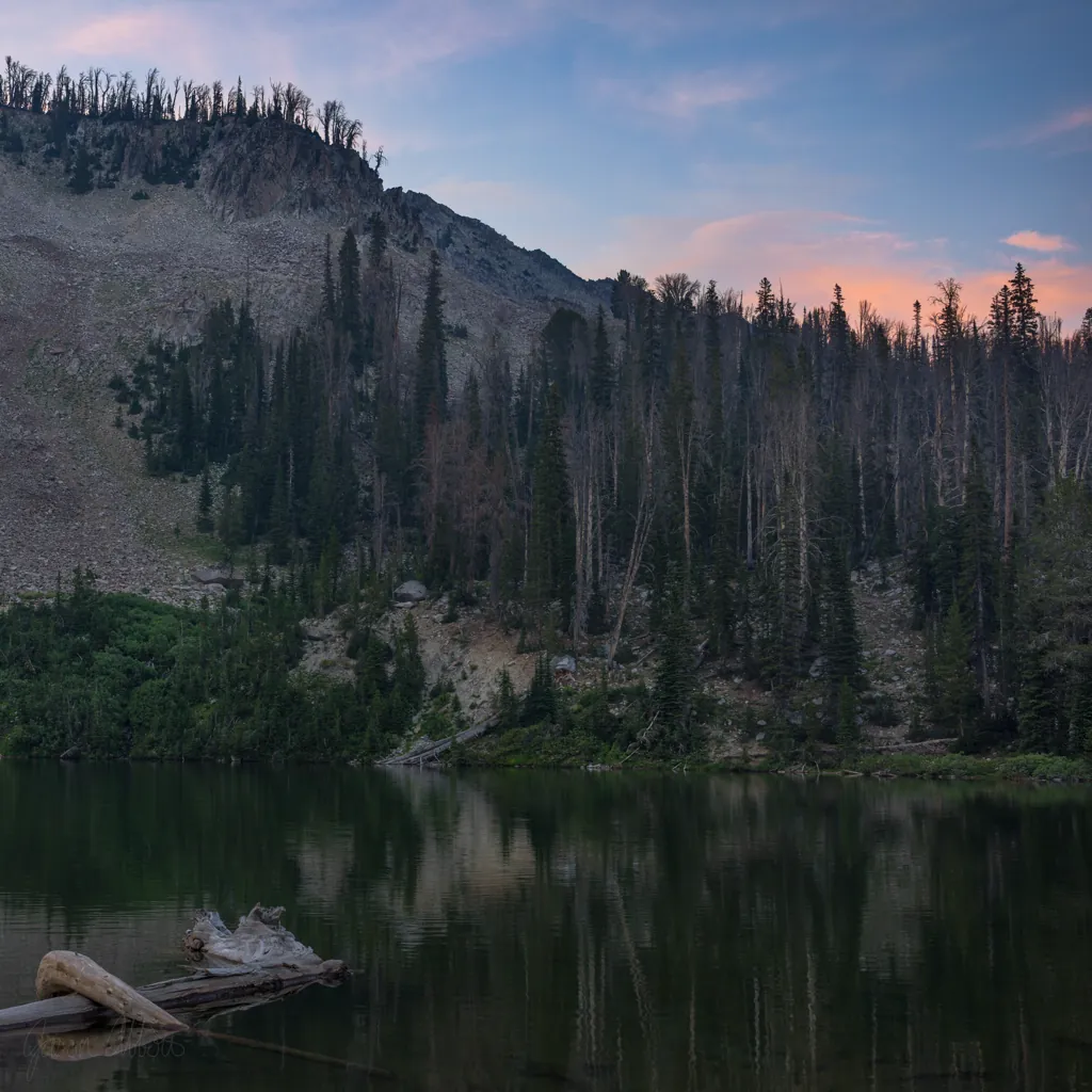
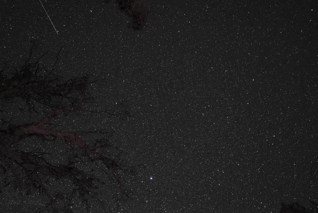
Shooting satellite
“Here, try it,” Michael says, handing me the miniature bottle of Idaho Huckleberry vodka after I’m settled back around the fire.
“Mmm, not too sweet,” I answer with approval.
We sit chatting, sipping our drinks, hour after hour, as dusk turns to night and a million stars slowly reveal themselves.

Hidden Milky Way
We think we can see the faint cloud of the Milky Way above but after several attempts, it’s failing to show up in long exposures.
Michael has an idea. “It looks like there might be more,” and he pauses for the right word … “definition that way,” off through the trees.

“I think I’m gonna sleep after this,” I tell Michael. It’s around midnight and I’ve finished my “Pig Pen” flask.¹ Soon I’ll turn into a pumpkin.
I sleep pretty well and wake to a beautiful morning. Michael was up earlier. He’s been on some walks. He’s probably glad to finally brew some coffee. We leisurely sip our hot drinks, hydrate some oatmeal and slowly pack up.
- Trail Image, “Dagger Falls, I Freeze”: http://trailimage.com/dagger-falls-i-freeze#33
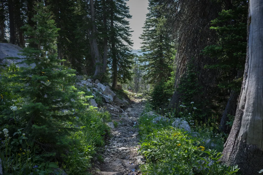
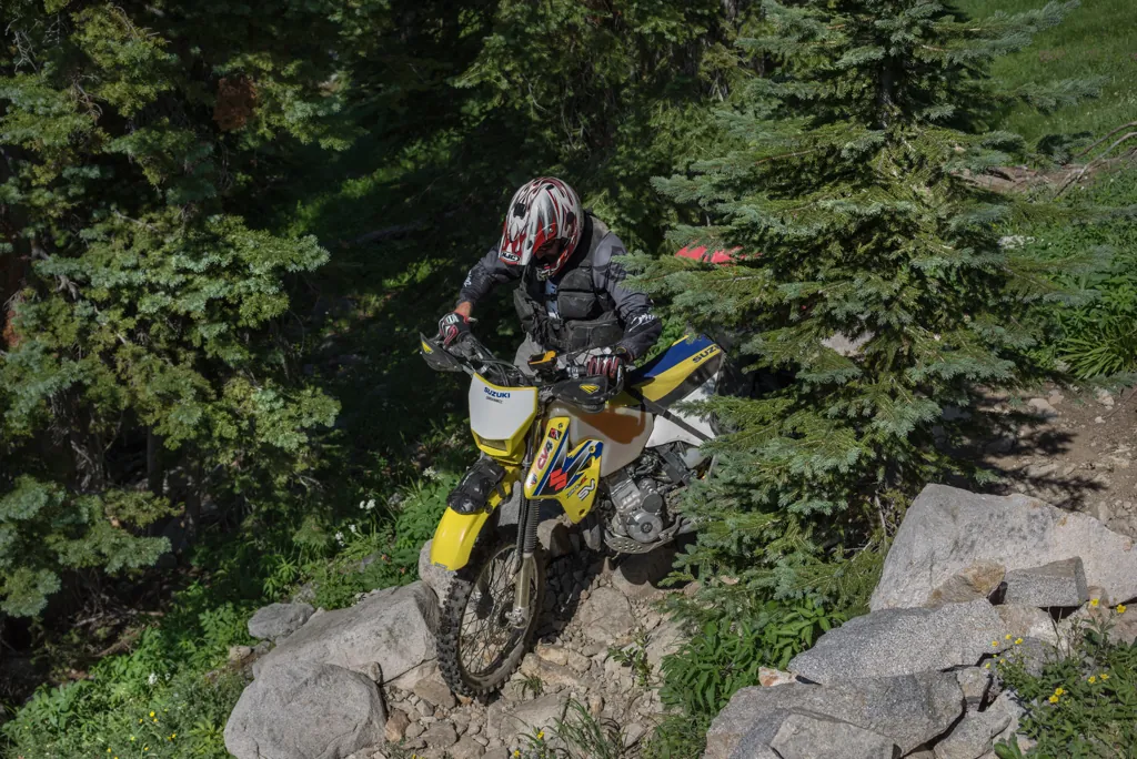
The descending switchbacks are a nice morning warm-up, several turning into three or four-point affairs.


Pine Resort
Now that we know the way, and without meeting at intersections, we make good time back to Featherville then Pine, where we stop for lunch at the resort. We pass many others making the same mountain exodus, though I have to think we had the best campsite.
Add Goat Lake to one of the few lakes accessible by motorcycle but not automobile, sure to offer secluded camping following an entertaining ride. It’s an area asking for further exploration. Stay tuned.