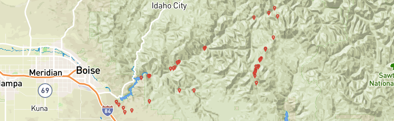
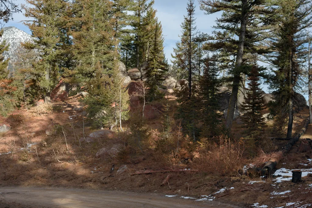
The Trinity Ridge Fire began August 3rd when a UTV somehow caught fire aside a forest road.¹ It was snow, however, that kept us from reaching the Trinity Recreation Area in the Jeep the following weekend.² The fire wasn’t large yet. By the time we could spare another weekend, in September, the much enlarged fire kept us away and almost kept us from getting anywhere.³
Including other attempts cancelled before launch, this would be about my fifth 2012 effort to reach Trinity Mountain. I was kind of determined.
I took the day off work and left as early as I could after getting the kids ready for school. I planned a big loop up through the Trinities to near Atlanta and back which would require much of the available daylight.
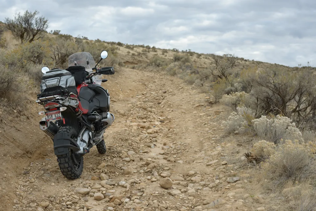
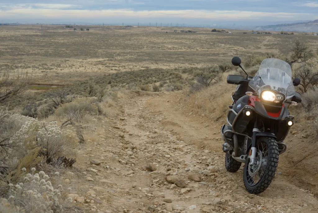
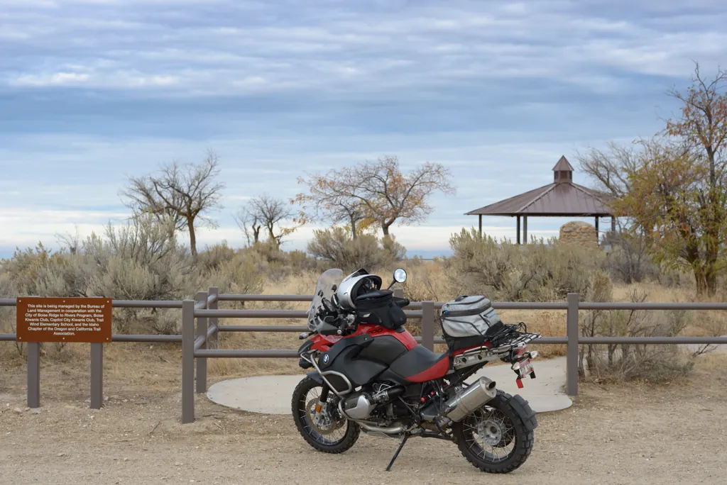
It was still chilly, about 40°F, but three layers and heated grips kept me cozy as I cut across the open land behind Micron along the old Oregon Trail.
Nikon D800
Voigtländer Nokton 58mm ƒ1.4 SL II
ISO 100grain
1⁄250 secondshutter_speed
ƒ5.6camera
-2⁄3 compensationiso
Adobe Lightroom 8.4.1
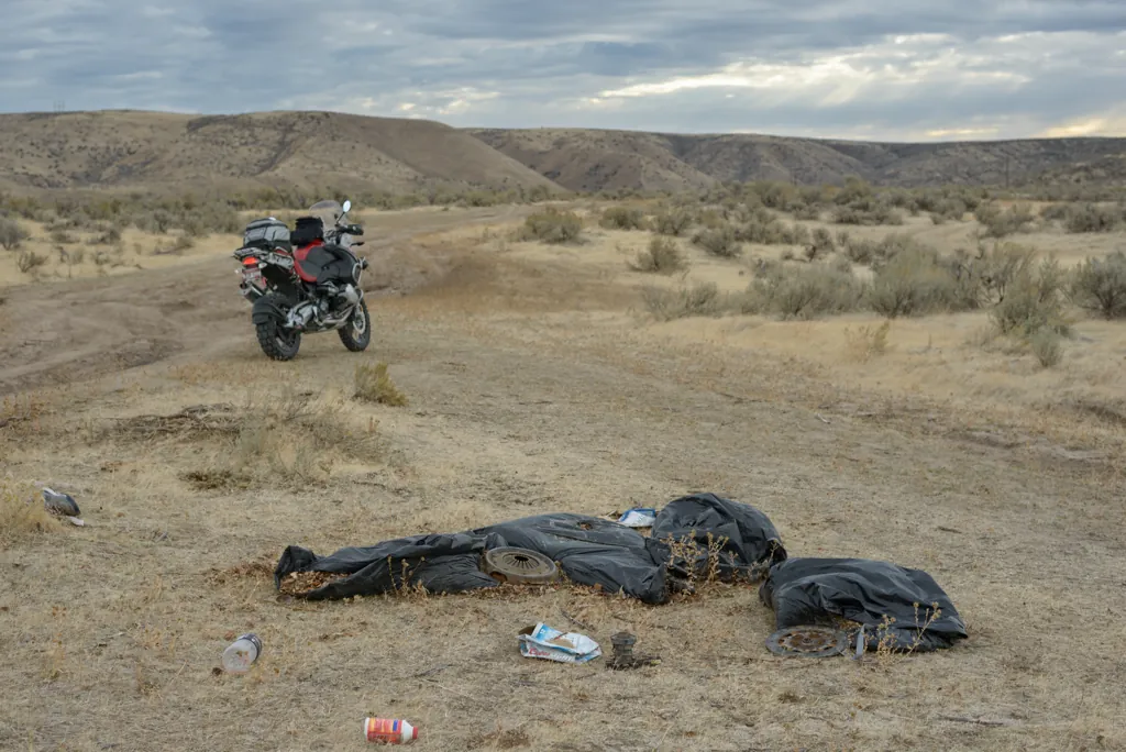
Littering immigrants
The Oregon Trail is one of our few National Historic Trails.¹ It’s a little known fact that the immigrants’ hubcaps, energy drink bottles and worn shoes still litter the path. This stretch between Technology Way and Bonneville Point usually has a few trash dumps (I also passed a shot-up TV and roll of carpet).
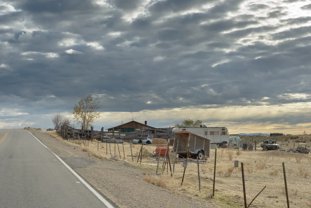
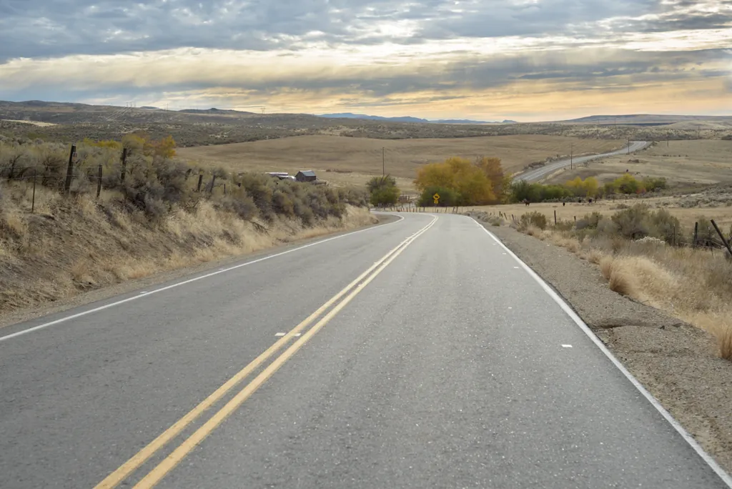
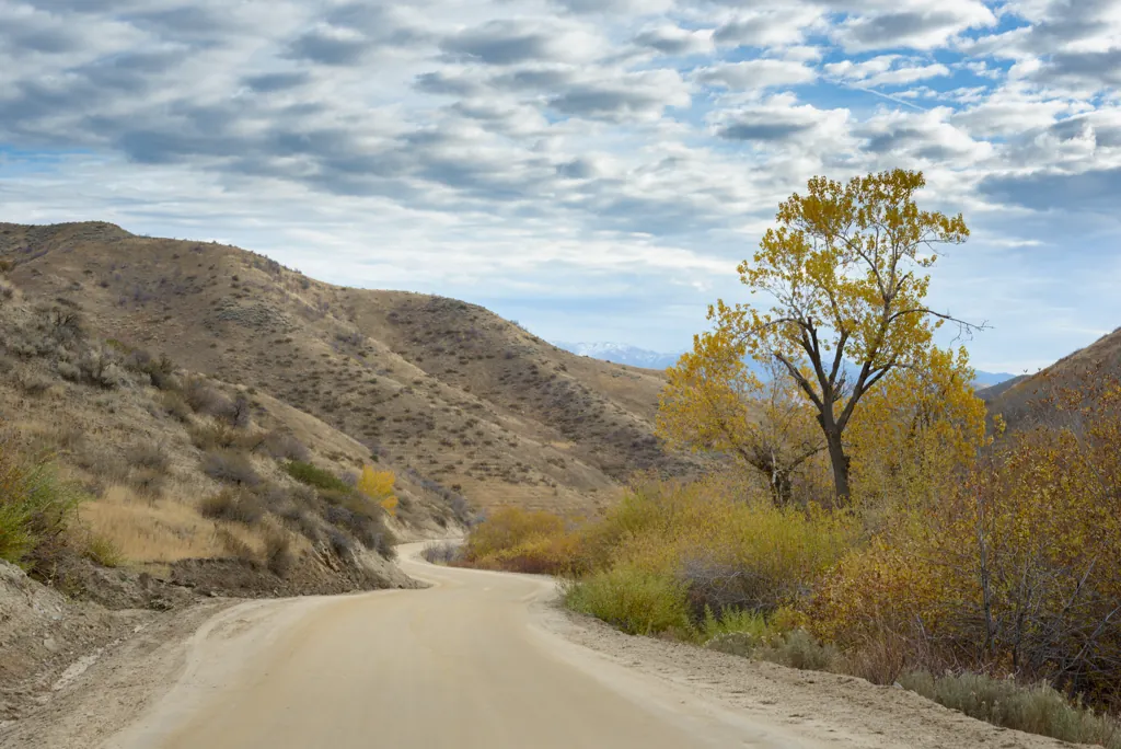
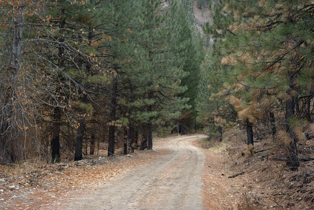
Weekend rain made the dirt and gravel roads more enjoyable than usual — good traction, not dusty. There were, however, hoards of hunters seeking to dismember the living and eat their flesh. You have to take the good with the bad.
Nikon D800
Voigtländer Nokton 58mm ƒ1.4 SL II
ISO 100grain
1⁄500 secondshutter_speed
ƒ4camera
-2⁄3 compensationiso
Adobe Lightroom 8.4.1
Middle Fork overlook
Nikon D800
Voigtländer Nokton 58mm ƒ1.4 SL II
ISO 100grain
1⁄500 secondshutter_speed
ƒ4camera
-2⁄3 compensationiso
Adobe Lightroom 8.4.1
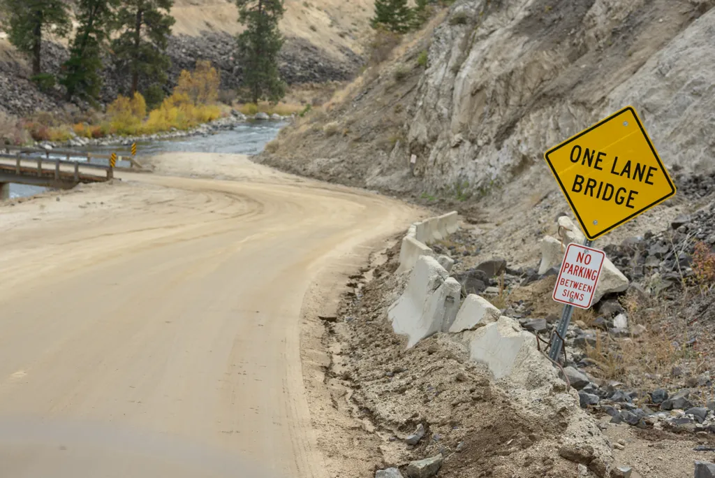
One lane bridge
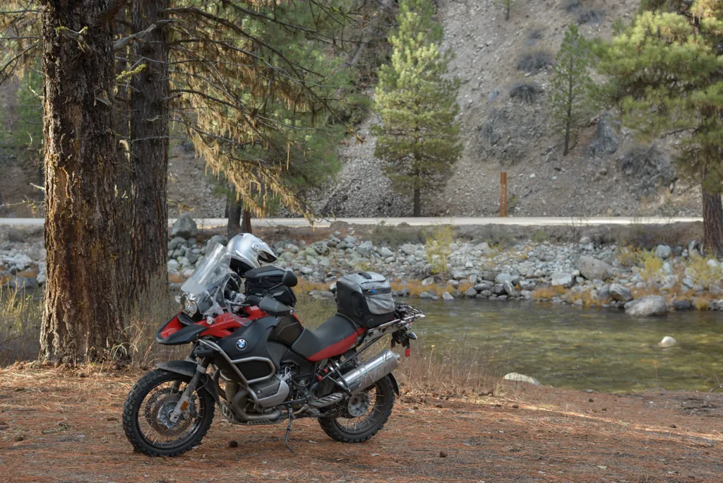
It was crowded, hot and dusty when last we stopped here. Now, the opposite.
Nikon D800
Voigtländer Nokton 58mm ƒ1.4 SL II
ISO 100grain
1⁄200 secondshutter_speed
ƒ5.6camera
-2⁄3 compensationiso
Adobe Lightroom 8.4.1
Our spring campsite
When snow kept us from Trinity Lakes, we retreated to camp here along Fall Creek.¹ It was fun to see our spot at the opposite end of the year.
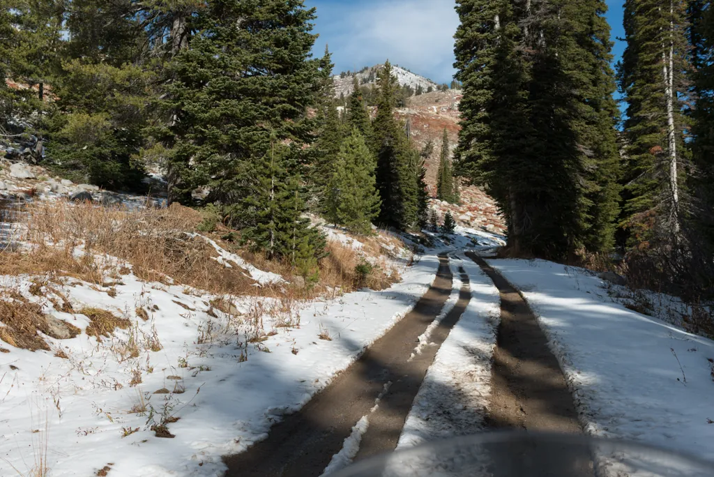
I was warned of snow in the mountains but was still determined to go. So far the only difficult area was the eastern side of House Mountain where the road was snow-packed in places. I didn’t stop for pictures since I was preoccupied with anxiety.
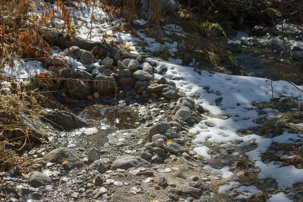
This was dug out for Brenna when we camped here. It was mostly under water then so I didn’t fully appreciate the work that was done.
Nikon D800
Zeiss Distagon T* 2/35 ZF.2
ISO 100grain
1⁄800 secondshutter_speed
ƒ5.6camera
-1⁄3 compensationiso
Adobe Lightroom 8.4.1
Looks promising
Nikon D800
Zeiss Distagon T* 2/35 ZF.2
ISO 100grain
1⁄1600 secondshutter_speed
ƒ5.6camera
-1⁄3 compensationiso
Adobe Lightroom 8.4.1
Overheating
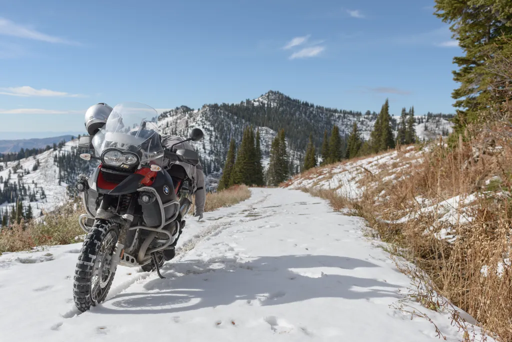
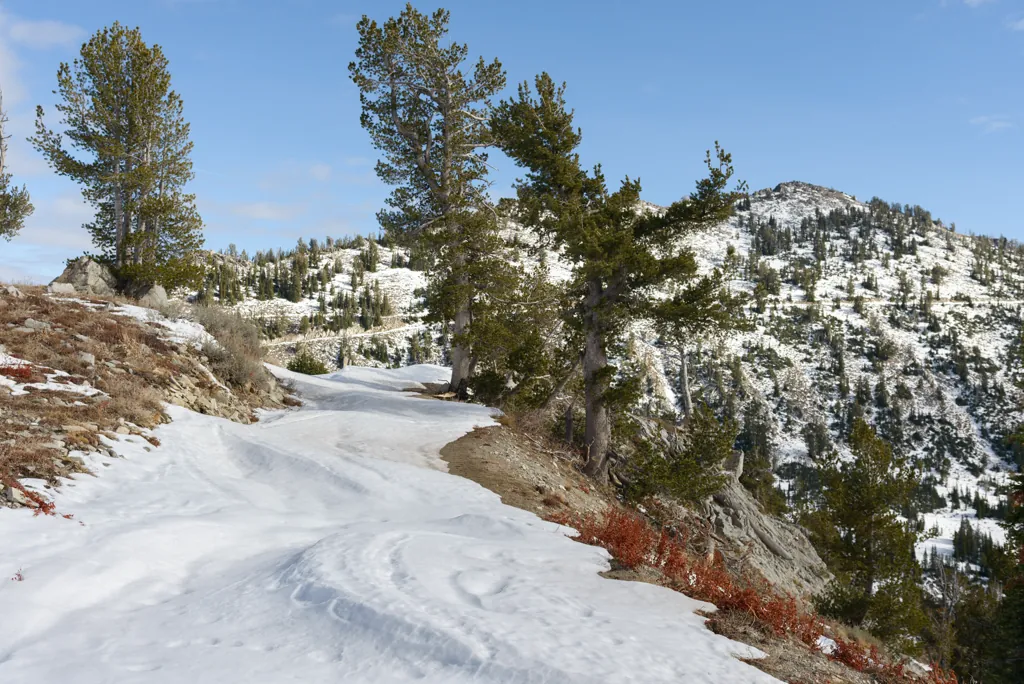
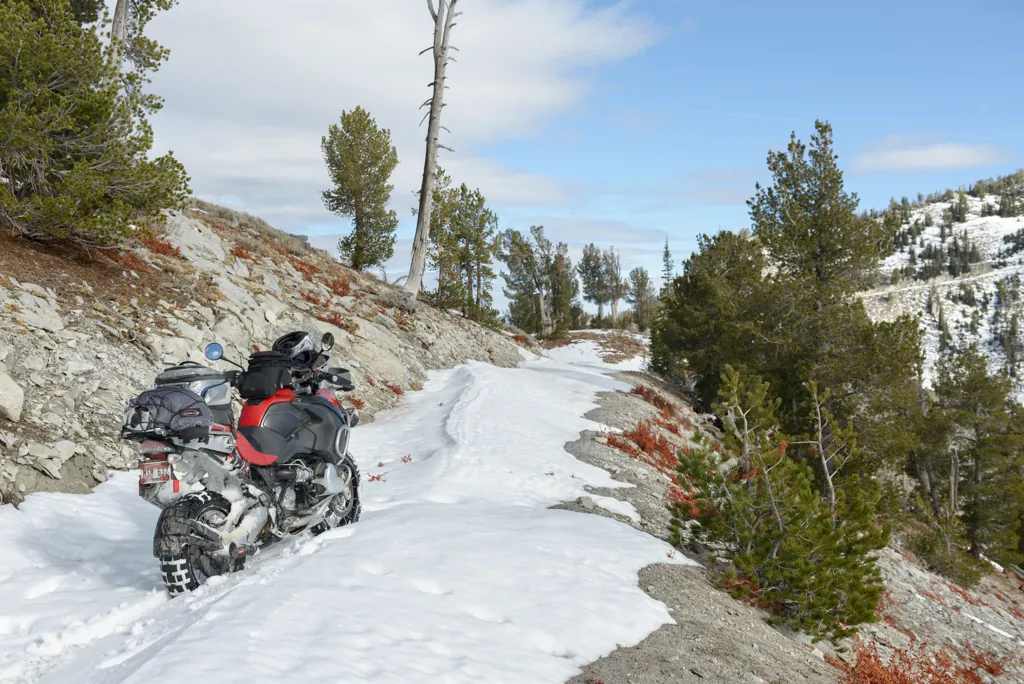
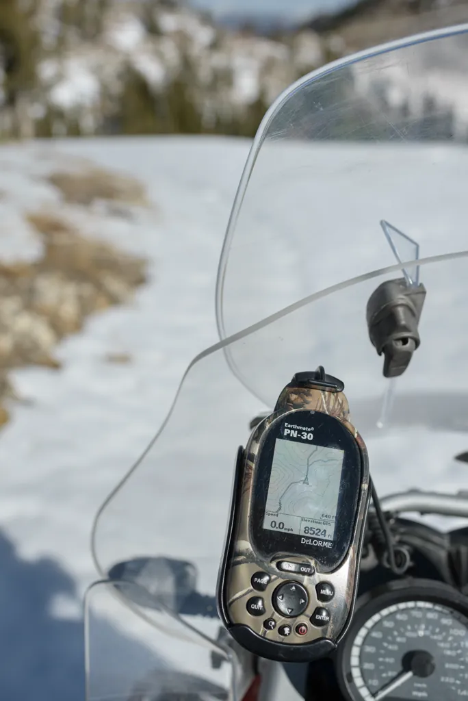
A good knobby may have provided reasonable propulsion but the end-of-season TKC could only push the pig uphill at about 1 MPH (I saw a high of 1.1 on the GPS). I was still determined to get over the mountain. We just needed several breaks, the two of us, to cool down along the way.
Nikon D800
Zeiss Distagon T* 2/35 ZF.2
ISO 100grain
1⁄1000 secondshutter_speed
ƒ5.6camera
-1⁄3 compensationiso
Adobe Lightroom 8.4.1
Snow on the road to Trinity Lookout
Nikon D800
Zeiss Distagon T* 2/35 ZF.2
ISO 100grain
1⁄1250 secondshutter_speed
ƒ5.6camera
-1⁄3 compensationiso
Adobe Lightroom 8.4.1
Too close to stop now
Nikon D800
Zeiss Distagon T* 2/35 ZF.2
ISO 100grain
1⁄800 secondshutter_speed
ƒ5.6camera
Adobe Lightroom 8.4.1
Road slalom
Beautiful and a bit depressing at the same time.
Nikon D800
Zeiss Distagon T* 2/35 ZF.2
ISO 100grain
1⁄800 secondshutter_speed
ƒ5.6camera
Adobe Lightroom 8.4.1
Trinity Saddle
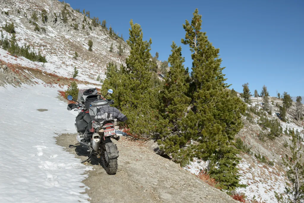
As I’d been doing for some time now, I walked ahead to scout and make tracks along the best route while the motorcycle cooled. I didn’t think slipping off the road would be fun but was too committed to quit.
Nikon D800
Zeiss Distagon T* 2/35 ZF.2
ISO 100grain
1⁄1250 secondshutter_speed
ƒ5.6camera
Adobe Lightroom 8.4.1
High enough
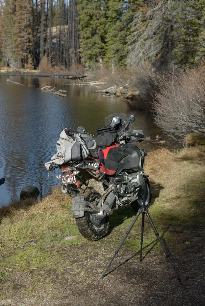
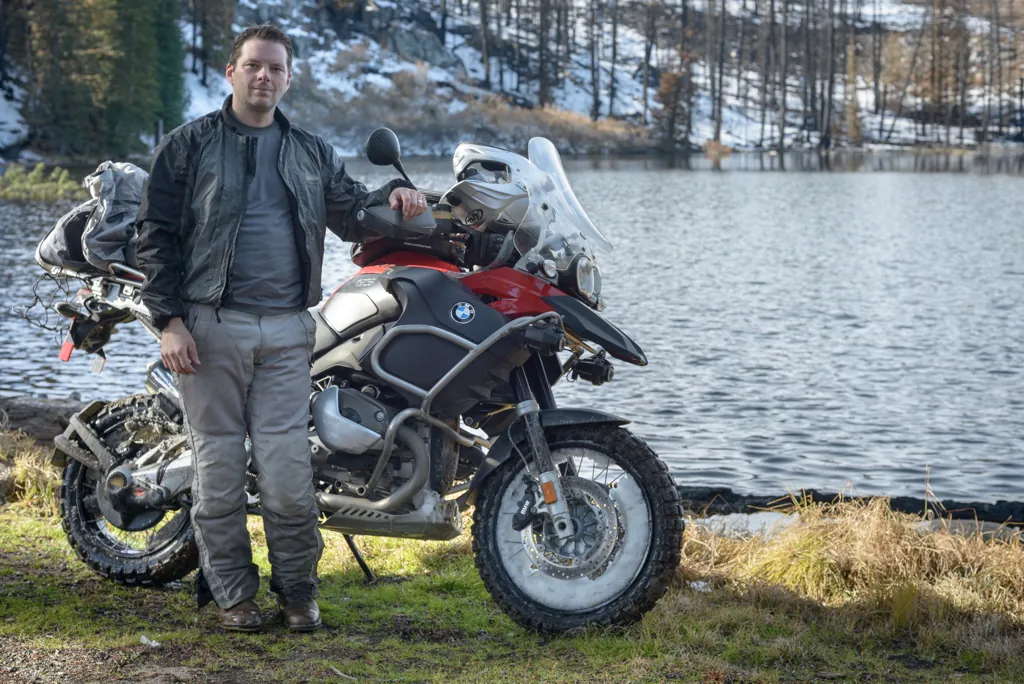
I thought I would setup the tripod for a triumphant picture of us, the motorcycle and I, at the saddle summit but I just wanted to puke at this point (old age plus exertion) so instead slumped on the seat for a minute.
Nikon D800
Zeiss Distagon T* 2/35 ZF.2
ISO 100grain
1⁄800 secondshutter_speed
ƒ5.6camera
Adobe Lightroom 8.4.1
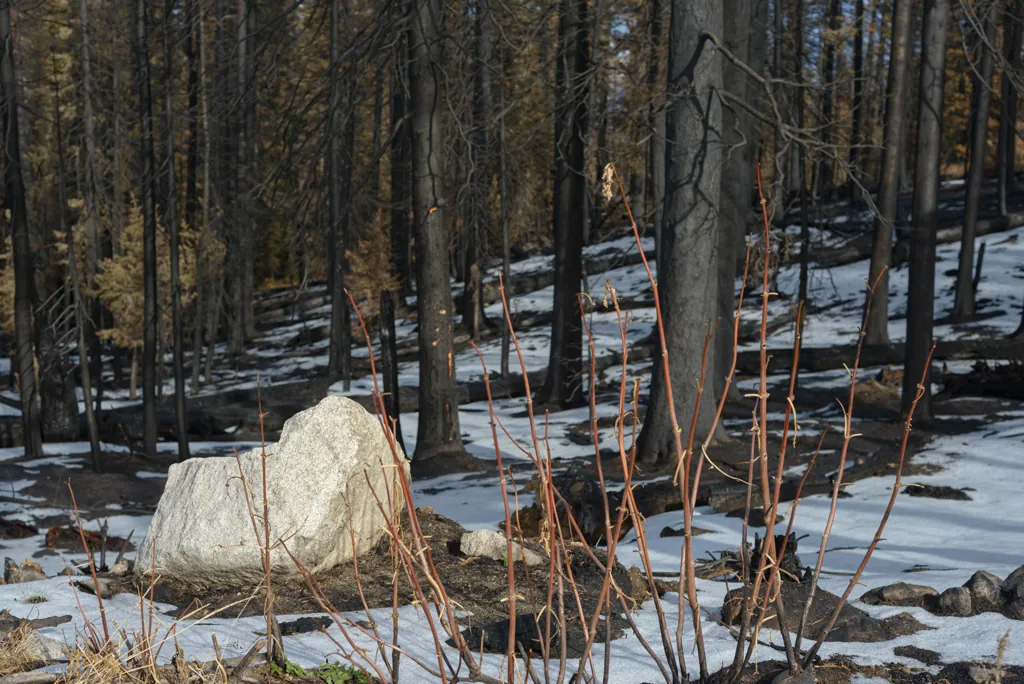
Black trees in the Trinity Recreation Area
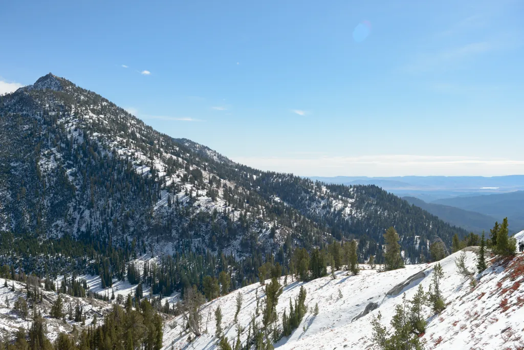
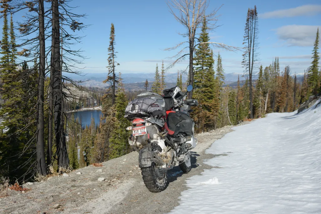
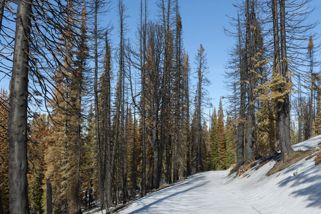
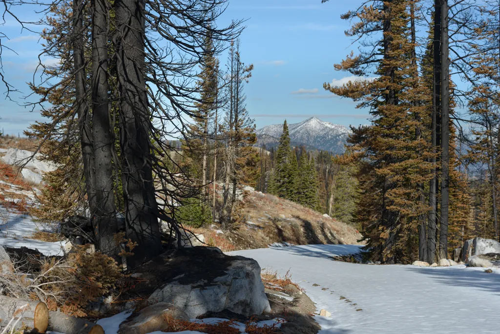
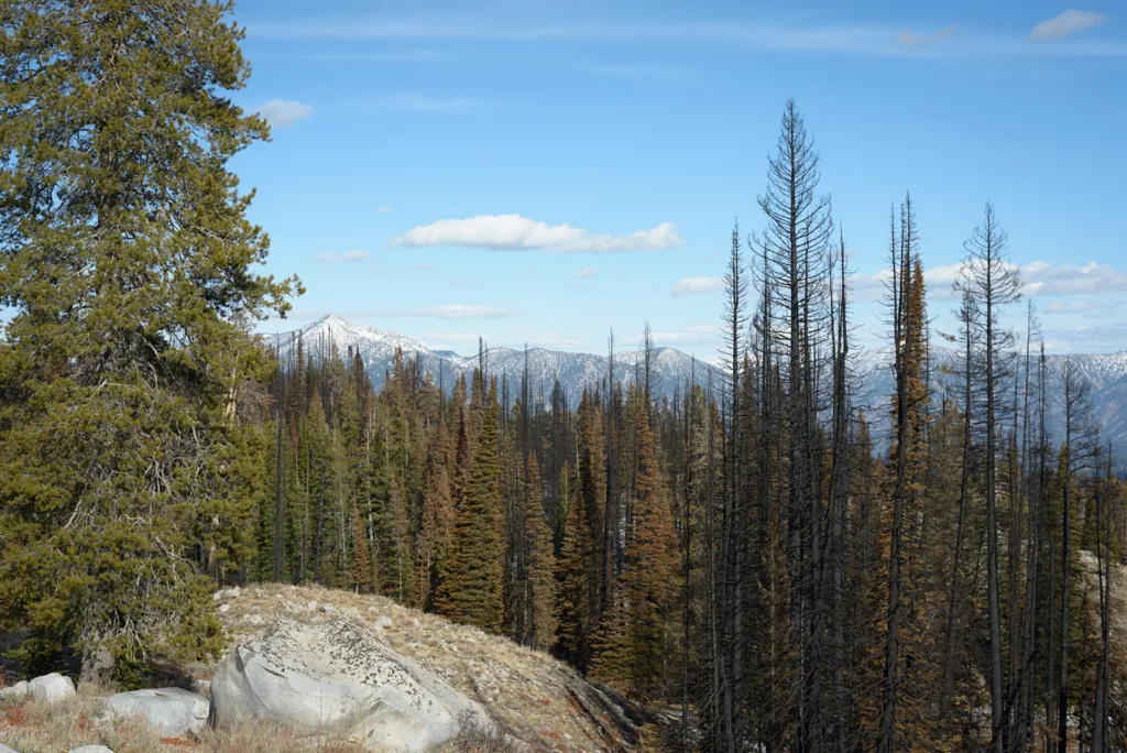
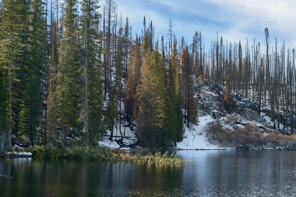
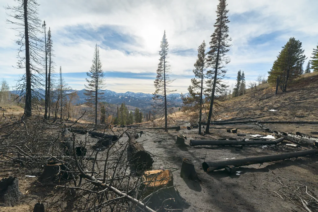
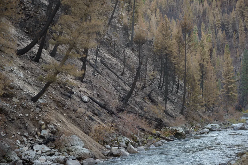
Although I’ve seen plenty of wildfire aftermath in years of Idaho riding, somehow the summer of dire news left me with an image of a bare and blackened landscape.¹ The burn area began right at the ridge and I was almost surprised to see green trees remaining.
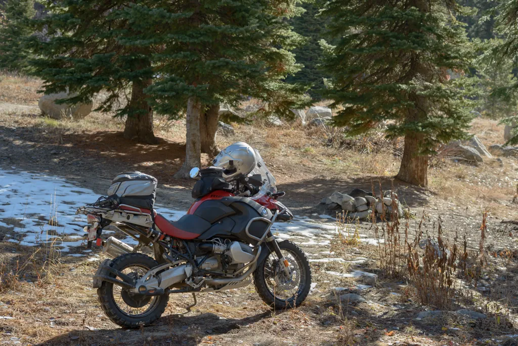
I didn’t feel up to the additional exertion of even the short access roads to Big Roaring River, Little Roaring River or Big Trinity Lake. My legs were starting to cramp from the constant toe dabs needed to keep the GS up so I was glad to stop for a short break and my PBJ at the edge of Little Trinity Lake alongside the road.
Nikon D800
Voigtländer Nokton 58mm ƒ1.4 SL II
ISO 100grain
1⁄800 secondshutter_speed
ƒ5.6camera
-5⁄3 compensationiso
Adobe Lightroom 8.4.1
Behind the scenes
Nikon D800
Voigtländer Nokton 58mm ƒ1.4 SL II
ISO 100grain
1⁄250 secondshutter_speed
ƒ5.6camera
-1 compensationiso
Adobe Lightroom 8.4.1
Ten second timer
Nikon D800
Voigtländer Nokton 58mm ƒ1.4 SL II
ISO 450grain
1⁄125 secondshutter_speed
ƒ5.6camera
-1 compensationiso
Adobe Lightroom 8.4.1
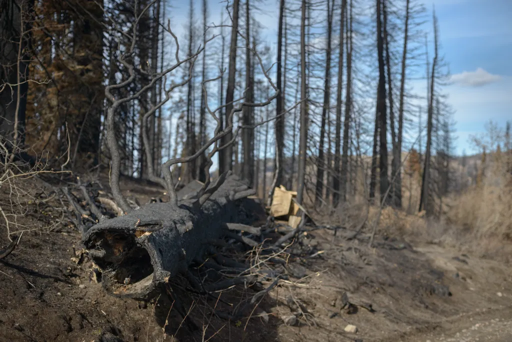
Hazard tree
I walked a short distance around the edge of the lake while eating my sandwich. The danger of falling trees was evident with many already on the ground like this. It’s understandable that land managers wouldn’t want campers up here for a while.
Nikon D800
Voigtländer Nokton 58mm ƒ1.4 SL II
ISO 100grain
1⁄500 secondshutter_speed
ƒ5.6camera
-1 compensationiso
Adobe Lightroom 8.4.1
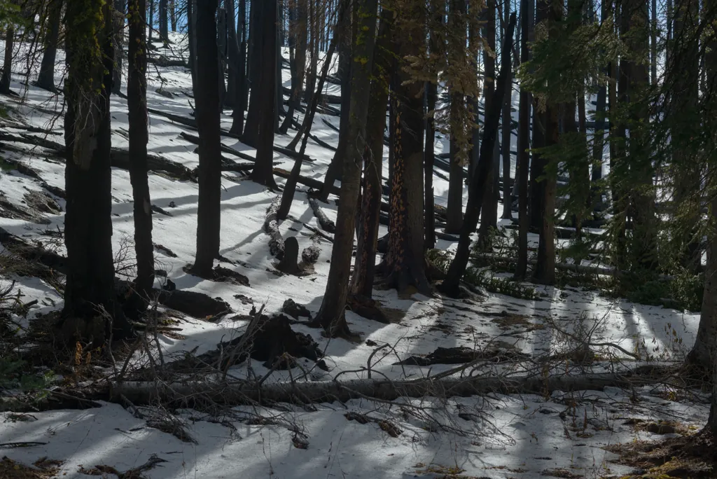
Shadows of themselves
Nikon D800
Voigtländer Nokton 58mm ƒ1.4 SL II
ISO 100grain
1⁄1000 secondshutter_speed
ƒ5.6camera
-2⁄3 compensationiso
Adobe Lightroom 8.4.1
Some escaped the fire
Nikon D800
Voigtländer Nokton 58mm ƒ1.4 SL II
ISO 100grain
1⁄640 secondshutter_speed
ƒ5.6camera
-2⁄3 compensationiso
Adobe Lightroom 8.4.1
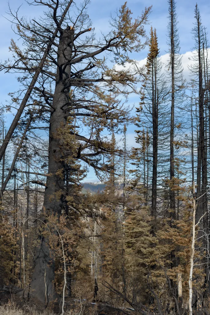
The bigger they are
I should have included something for perspective. The tall, thin trees here were the regular size trees everywhere else. I saw a couple of these monsters burned and broken.
Nikon D800
Voigtländer Nokton 58mm ƒ1.4 SL II
ISO 100grain
1⁄320 secondshutter_speed
ƒ5.6camera
-2⁄3 compensationiso
Adobe Lightroom 8.4.1
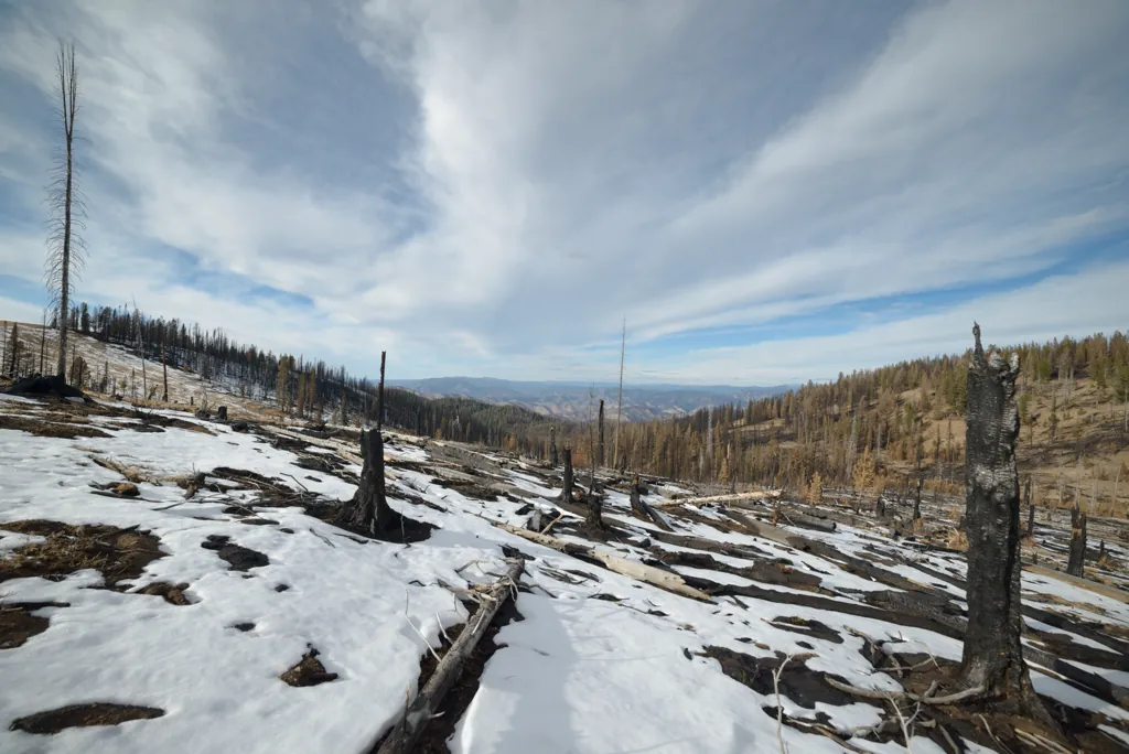
Clean slate
fresh snow cannot hide
the acrid smell
of black earth and bark
Nikon D800
Voigtländer Nokton 58mm ƒ1.4 SL II
ISO 100grain
1⁄2000 secondshutter_speed
ƒ2.8camera
-5⁄3 compensationiso
Adobe Lightroom 8.4.1
Final moments
Nikon D800
Voigtländer Nokton 58mm ƒ1.4 SL II
ISO 100grain
1⁄800 secondshutter_speed
ƒ5.6camera
-1⁄3 compensationiso
Adobe Lightroom 8.4.1
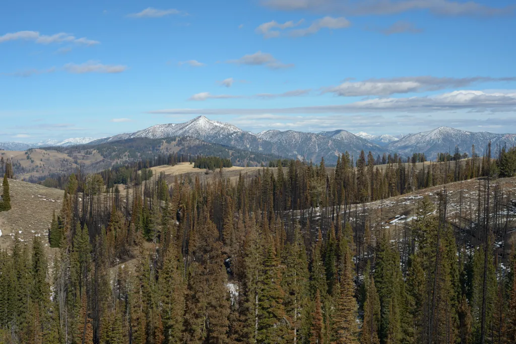
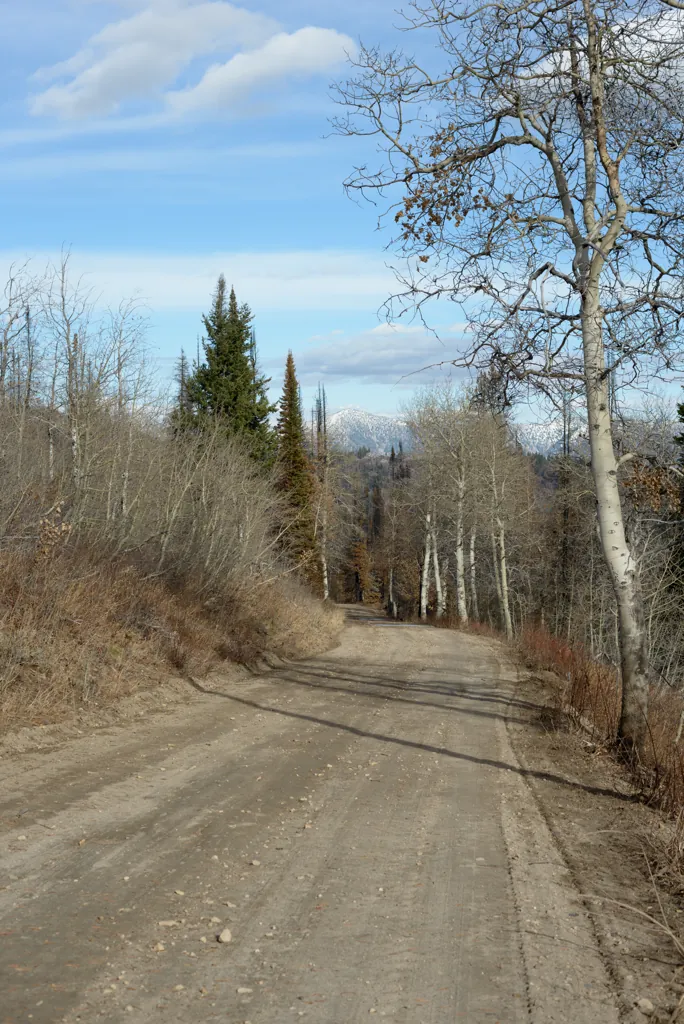
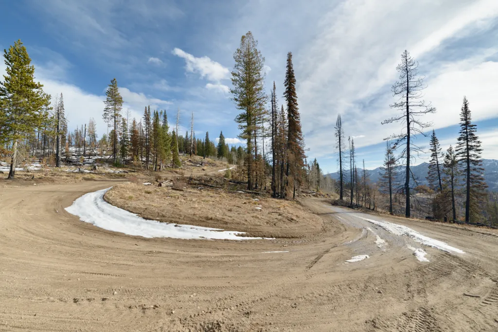
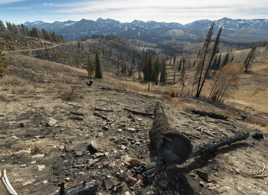
Late autumn ridge road
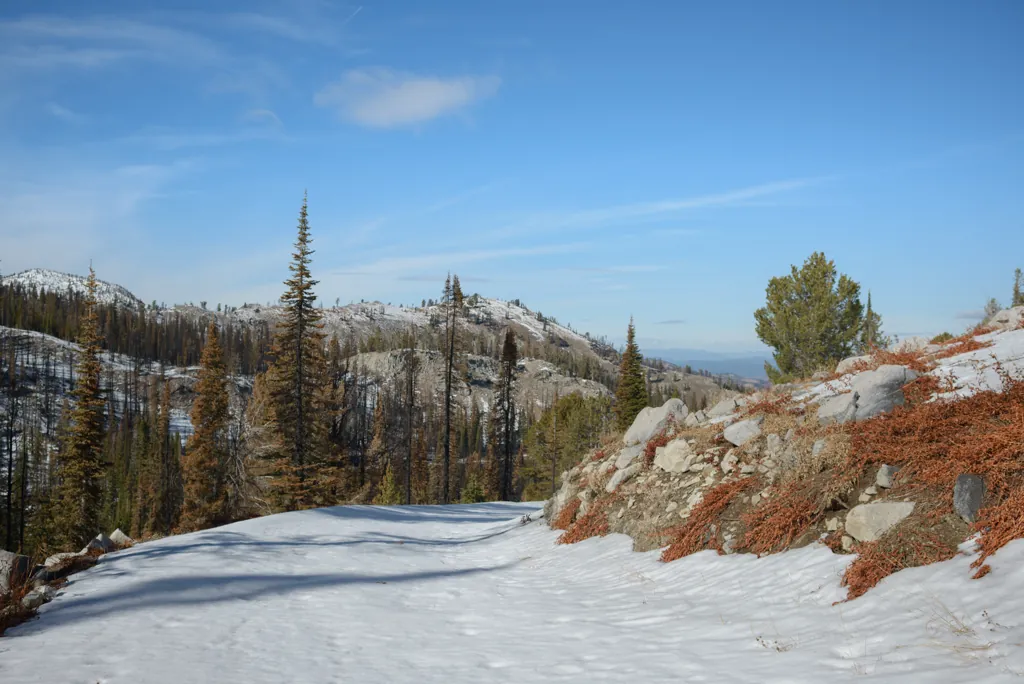
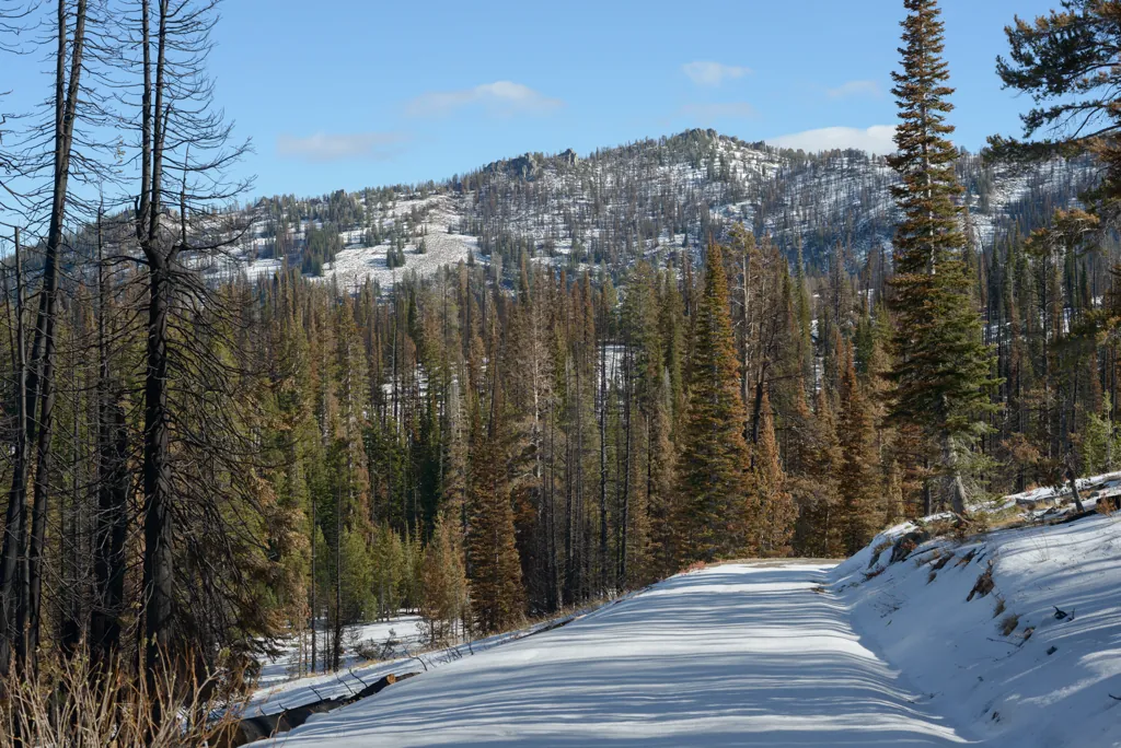
Under 7,500 feet the roads were about perfect.
Nikon D800
Samyang 14mm ƒ2.8
ISO 100grain
1⁄800 secondshutter_speed
ƒ5.6camera
-1⁄3 compensationiso
Adobe Lightroom 8.4.1
Horseshoe bend
Nikon D800
Samyang 14mm ƒ2.8
ISO 100grain
1⁄1000 secondshutter_speed
ƒ5.6camera
-1⁄3 compensationiso
Adobe Lightroom 8.4.1
Looking back to the Trinity Recreation Area
Nikon D800
Samyang 14mm ƒ2.8
ISO 100grain
1⁄320 secondshutter_speed
ƒ5.6camera
-1 compensationiso
Adobe Lightroom 8.4.1
Zorro on the job
Nikon D800
Samyang 14mm ƒ2.8
ISO 100grain
1⁄500 secondshutter_speed
ƒ5.6camera
-1 compensationiso
Adobe Lightroom 8.4.1
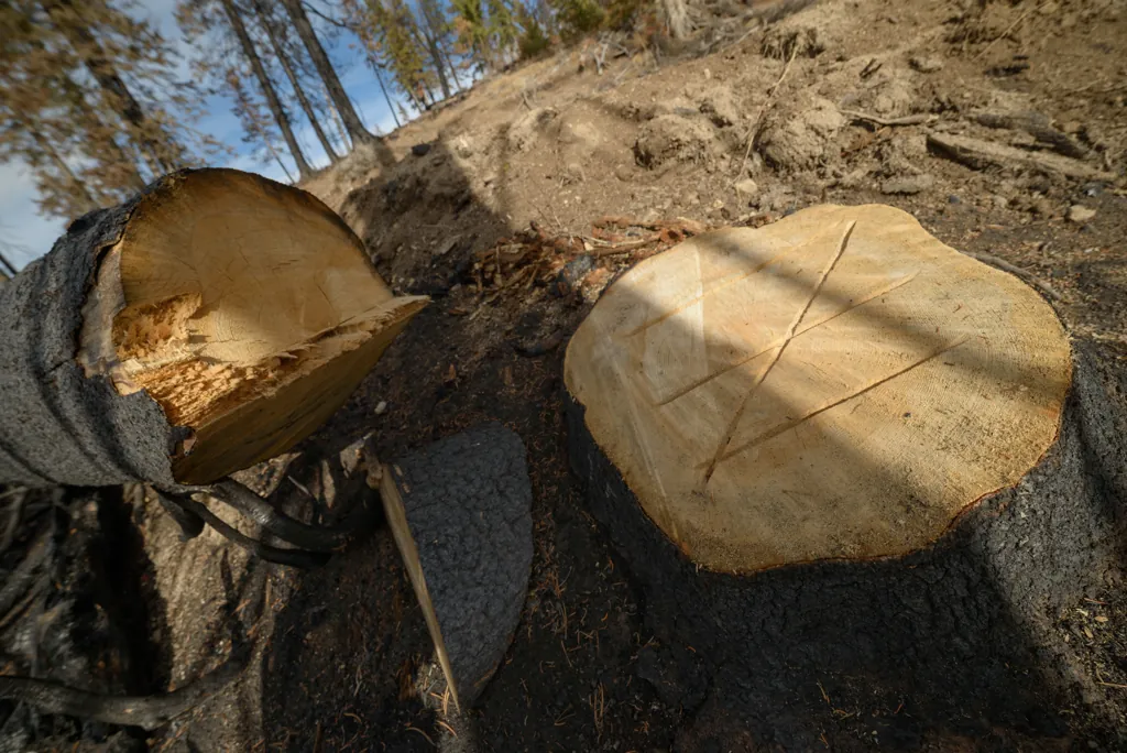
Charred wood
Nikon D800
Samyang 14mm ƒ2.8
ISO 100grain
1⁄800 secondshutter_speed
ƒ5.6camera
-1⁄3 compensationiso
Adobe Lightroom 8.4.1
Not the first time it has burned
Nikon D800
Voigtländer Nokton 58mm ƒ1.4 SL II
ISO 100grain
1⁄400 secondshutter_speed
ƒ5.6camera
-4⁄3 compensationiso
Adobe Lightroom 8.4.1
Do not adjust your set
I had to see it a couple times before I realized all the red must be fire retardant.
Nikon D800
Voigtländer Nokton 58mm ƒ1.4 SL II
ISO 180grain
1⁄125 secondshutter_speed
ƒ4camera
-4⁄3 compensationiso
Adobe Lightroom 8.4.1
Phifer Creek Road
Nikon D800
Voigtländer Nokton 58mm ƒ1.4 SL II
ISO 180grain
1⁄125 secondshutter_speed
ƒ4camera
-2⁄3 compensationiso
Adobe Lightroom 8.4.1
Middle Fork campground
Nikon D800
Voigtländer Nokton 58mm ƒ1.4 SL II
ISO 100grain
1⁄500 secondshutter_speed
ƒ4camera
-2⁄3 compensationiso
Adobe Lightroom 8.4.1
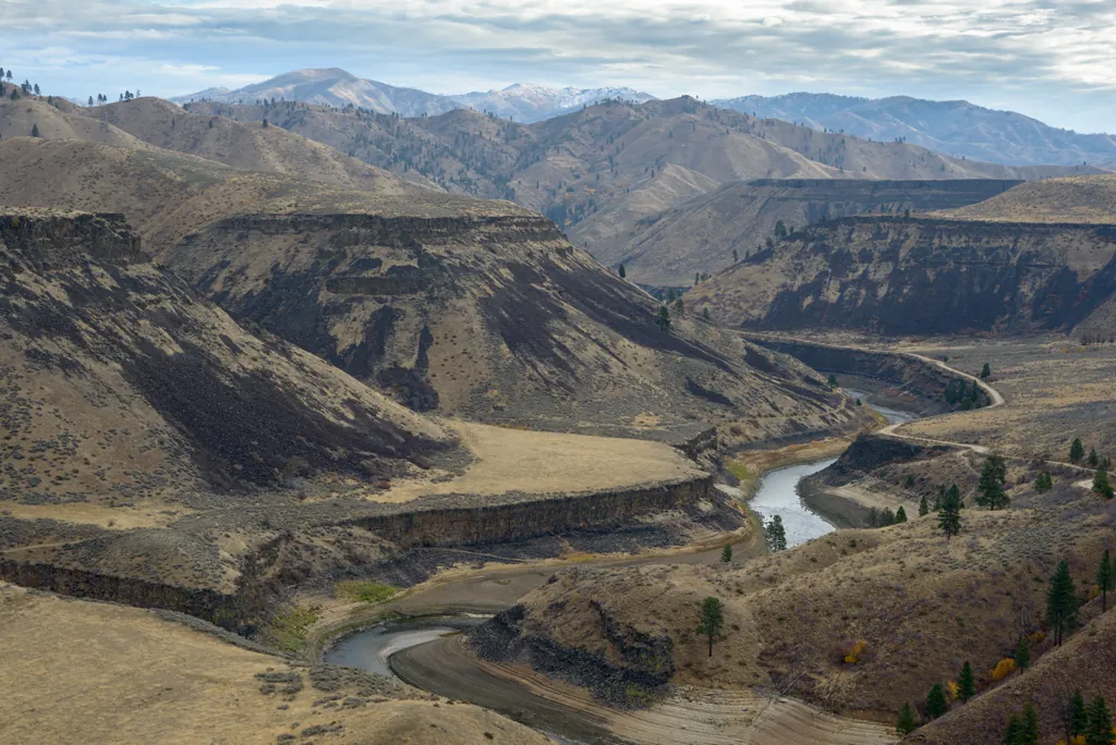
Middle Fork Road
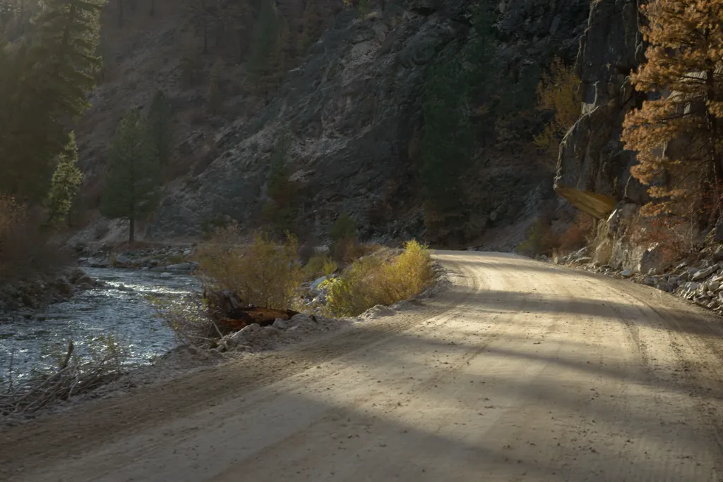
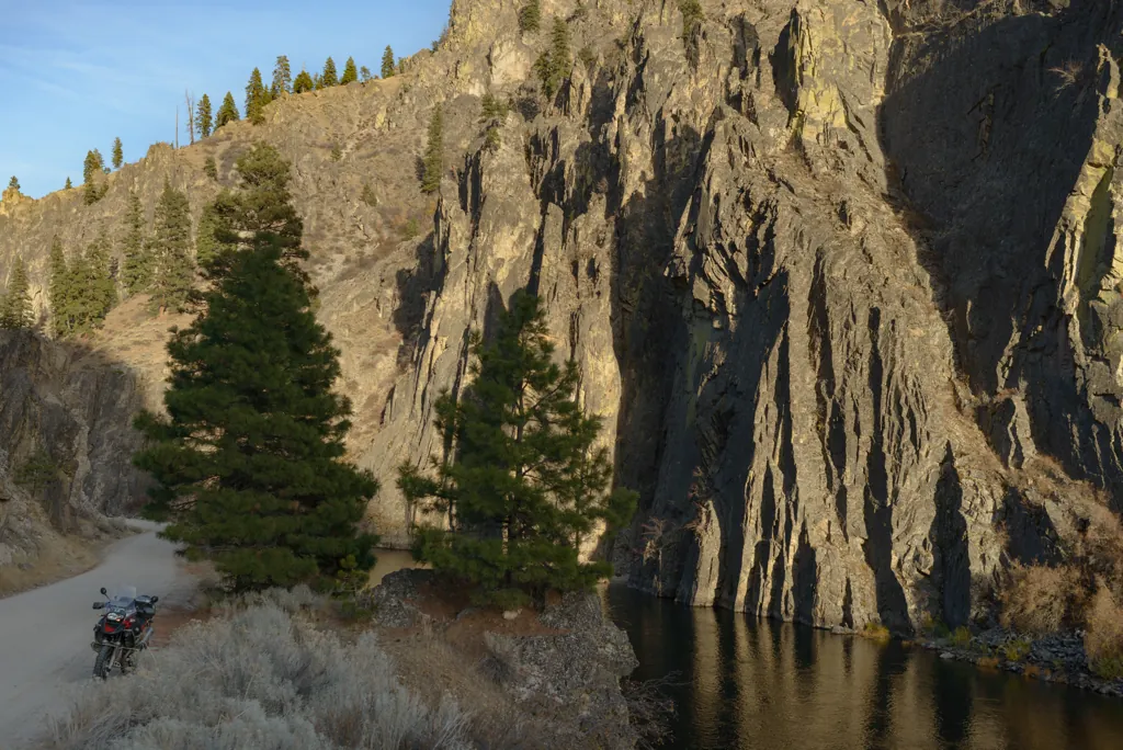
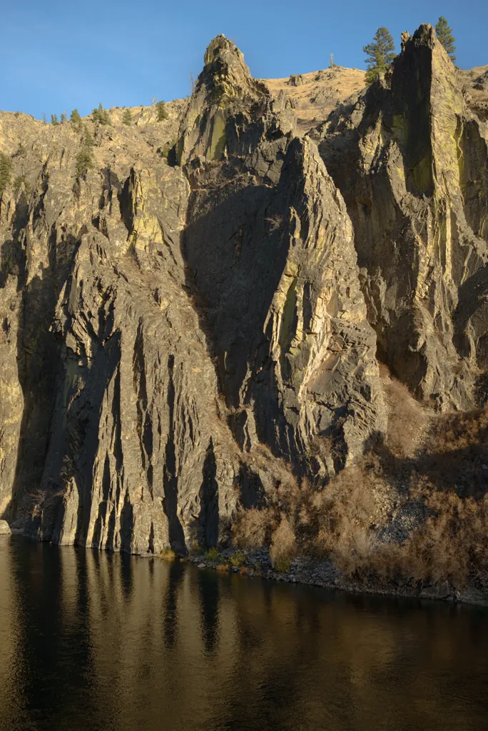
I had never been up the Middle Fork this far. I really liked the ruggedness.
Nikon D800
Voigtländer Nokton 58mm ƒ1.4 SL II
ISO 180grain
1⁄125 secondshutter_speed
ƒ2.8camera
-2⁄3 compensationiso
Adobe Lightroom 8.4.1
Northwestern fire boundary
There were a few small spots where fire jumped the river but it looked like crews had been able to hold it here.
Nikon D800
Zeiss Distagon T* 2/35 ZF.2
ISO 100grain
1⁄320 secondshutter_speed
ƒ5.6camera
-2⁄3 compensationiso
Adobe Lightroom 8.4.1
Cliffs along the Middle Fork
Nikon D800
Zeiss Distagon T* 2/35 ZF.2
ISO 100grain
1⁄250 secondshutter_speed
ƒ5.6camera
-2⁄3 compensationiso
Adobe Lightroom 8.4.1
Orthogonal hues
sunlit reflections
in midnight ripples —
this election season
Nikon D800
Zeiss Distagon T* 2/35 ZF.2
ISO 100grain
1⁄160 secondshutter_speed
ƒ5.6camera
-2⁄3 compensationiso
Adobe Lightroom 8.4.1
Yellow rocks and shrubs
Nikon D800
Zeiss Distagon T* 2/35 ZF.2
ISO 100grain
1⁄200 secondshutter_speed
ƒ5.6camera
-2 compensationiso
Adobe Lightroom 8.4.1
Green reclamation
Nikon D800
Zeiss Distagon T* 2/35 ZF.2
ISO 125grain
1⁄80 secondshutter_speed
ƒ5.6camera
-1 compensationiso
Adobe Lightroom 8.4.1
Autumn draw
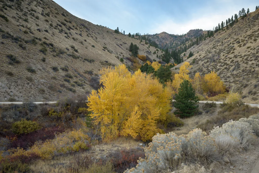
It is hunting season. Most every draw, big and small, and a few inexplicable locations, were pickup truck parking lots. If car thiefs want to score they should really consider visiting Idaho in October and November.
Nikon D800
Zeiss Distagon T* 2/35 ZF.2
ISO 100grain
1⁄125 secondshutter_speed
ƒ5.6camera
-5⁄3 compensationiso
Adobe Lightroom 8.4.1
Striations
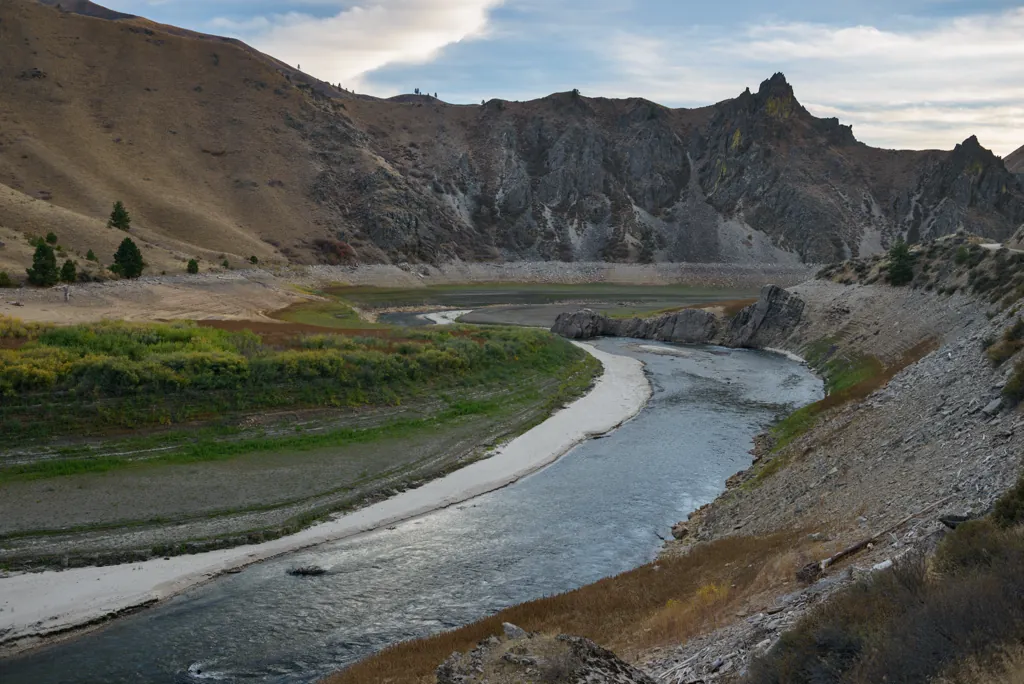
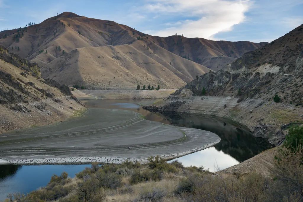
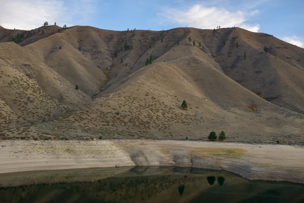
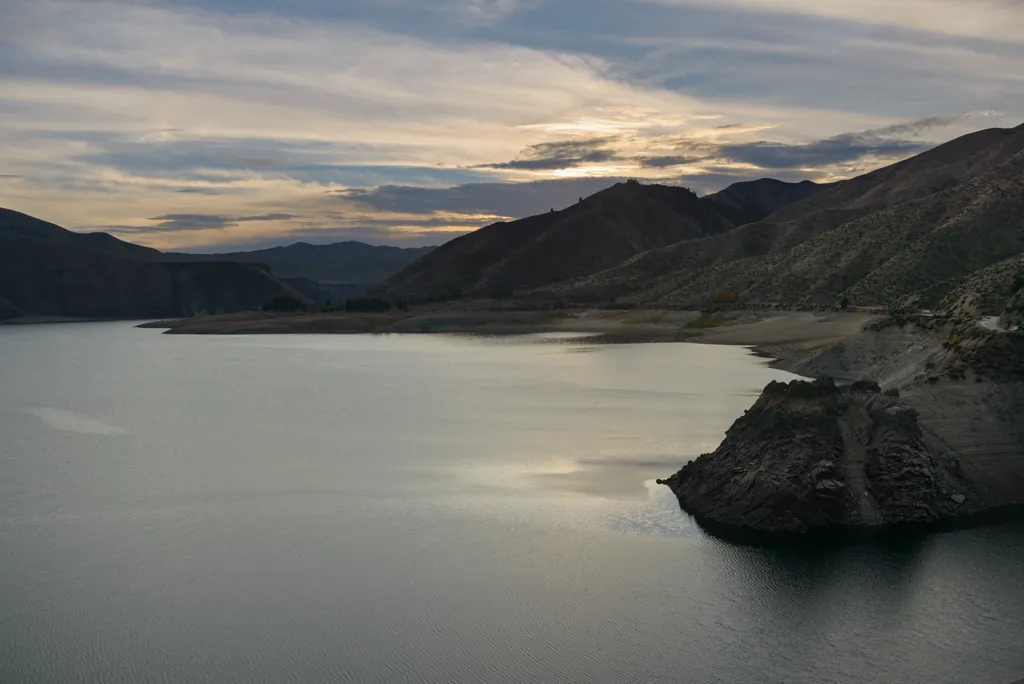
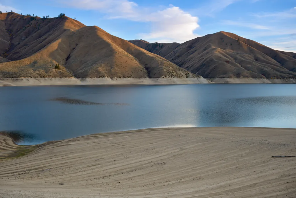
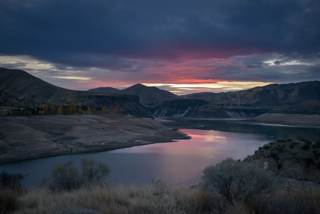
Dusty and gravelly, stuck behind cars, I didn’t think riding around Arrowrock Reservoir was so pleasant in the summer. On this autumn evening, however, it was a real joy.
Nikon D800
Zeiss Distagon T* 2/35 ZF.2
ISO 100grain
1⁄125 secondshutter_speed
ƒ5.6camera
-5⁄3 compensationiso
Adobe Lightroom 8.4.1
Two if by night
Nikon D800
Zeiss Distagon T* 2/35 ZF.2
ISO 100grain
1⁄1600 secondshutter_speed
ƒ5.6camera
-2 compensationiso
Adobe Lightroom 8.4.1
Fading light above Arrowrock Reservoir
Nikon D800
Zeiss Distagon T* 2/35 ZF.2
ISO 100grain
1⁄100 secondshutter_speed
ƒ5.6camera
-4⁄3 compensationiso
Adobe Lightroom 8.4.1
Exposed shore
Nikon D800
Zeiss Distagon T* 2/35 ZF.2
ISO 500grain
1⁄80 secondshutter_speed
ƒ4camera
-2 compensationiso
Adobe Lightroom 8.4.1
Arrowrock Dam at dusk
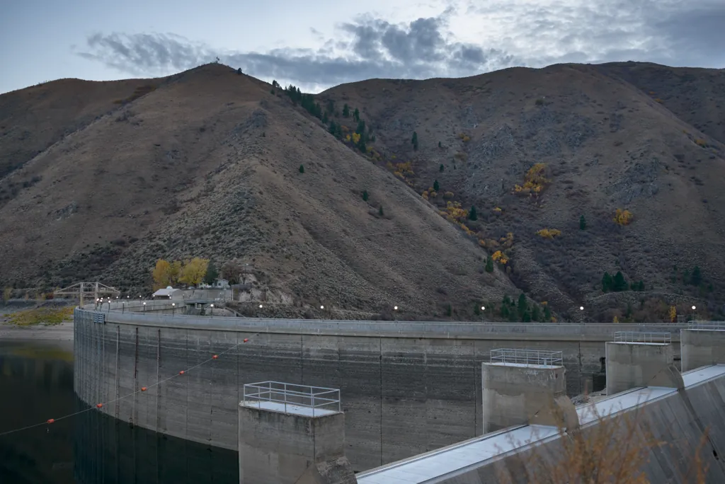
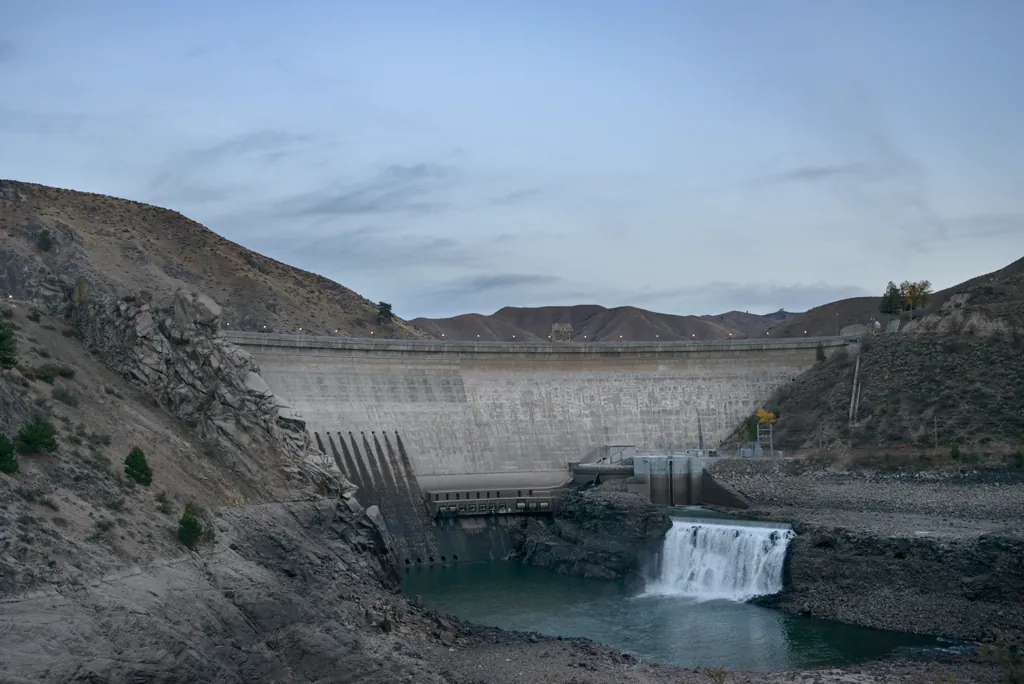
When planning began in 1910, Arrowrock Dam would be the largest of its type in the world.¹ During construction, the site was home to 1,400 workers. As I rode by, however, I could have been the only person in the world.
Wrestling through the snow made me a couple hours later than planned but it was a beautiful ride with no tips or tumbles. I saw the last of the sunrise as I departed and rode the winding highway into the sunset on my way home.