Spring rains have been keeping me on the couch (next to the elliptical). I think I’m starting to get fat. I was happy for the sunny forecast.
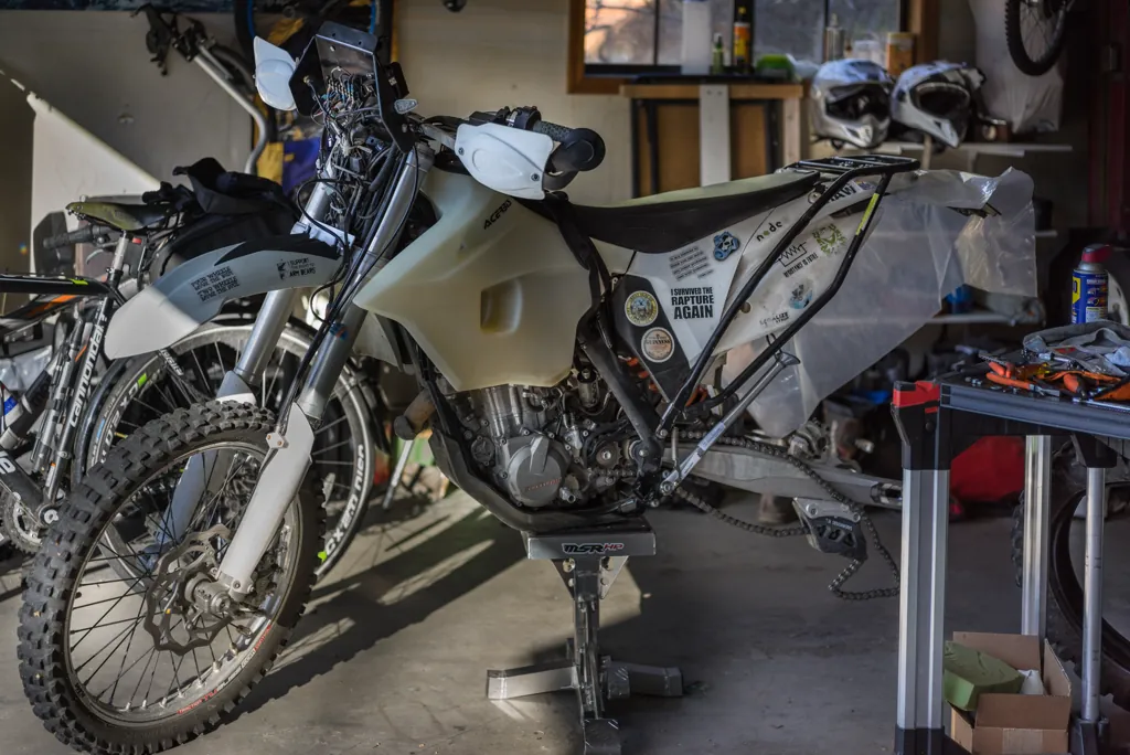
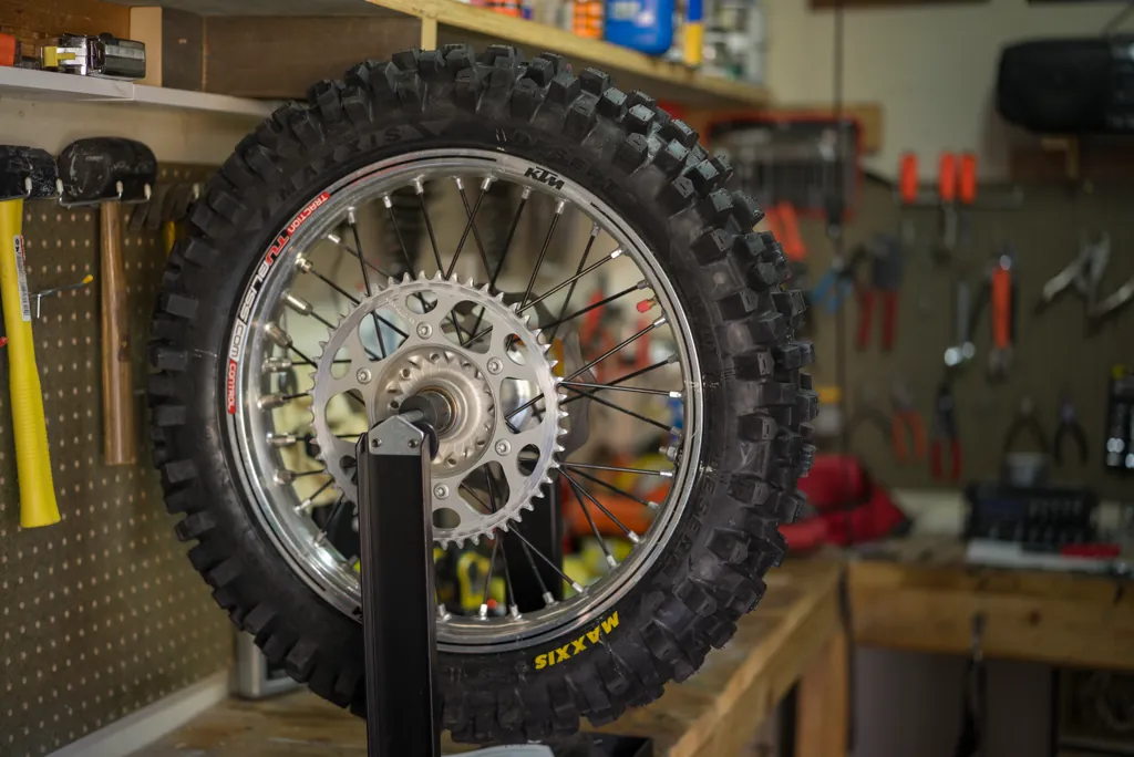
Normal wear and a non-riding mishap which shall never be mentioned required some work to ready the KTM for 2014 riding — new tire, kickstand, foot pegs, windscreen, mirror and the all important USB outlet. Stuff has been piled in the garage since autumn waiting for me to do something about it.
Finally the bike is buttoned up, a plan made and I’m geared up for a day in the hinterlands. I kiss the family goodbye and head out our long driveway. A tap on the brake as I bounce onto the road is surprising: the pedal bottoms out!
Hope that I overlooked something simple when mounting the tire is soon dashed and I’m back in the garage, scrambling around for proper tubing to bleed the rear brake. My route already pushes the limits of daylight so my ire is up. I don’t need this.
So much air is in the line — god knows how — that it won’t bleed the usual way so after a little think I resort to a Rube Goldberg setup (a kind of reverse gravity bleed) that finally fixes it. Crikey. I’ve lost an hour.
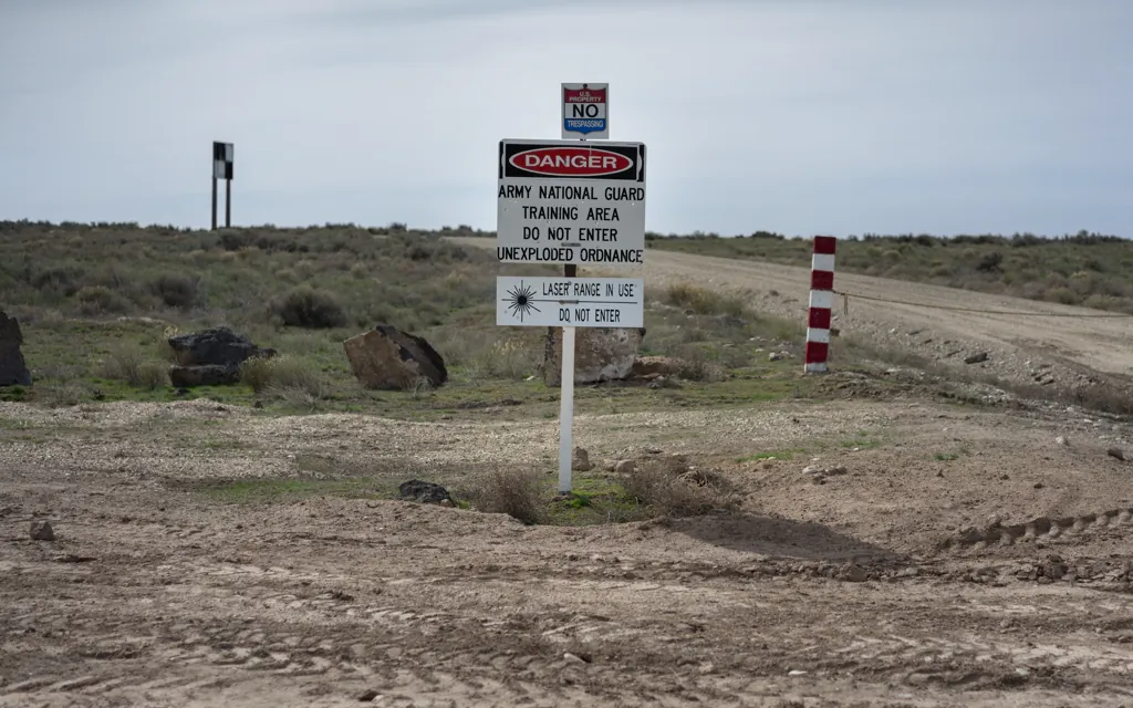
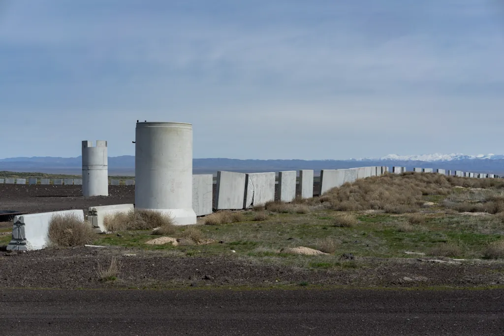
The little KTM doesn’t have the speed of the GS but I open it up as much as I can by the prisons south of Boise and out across the maze of roads in the Orchard Combat Training Center, a 140,000 acre military training facility with thirteen combat ranges where the Idaho National Guard trains with tanks, helicopters and munitions.¹
In my small mirror I see the line of dust extending more than a mile-a-minute off the new tire and I imagine the cinematic perspective from a pursuing Apache helicopter — guy daydreaming, I guess.
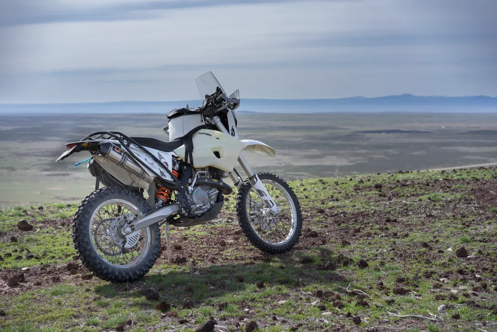
I have gone by the cinder cone several times and always thought I should pop up to see the view. I circle part way round to faint, straight-up tracks used, perhaps, by tractors erecting the summit equipment decades ago. I’m on the gas and pegs when I see a little flock of sheep in my path. Not what I expected. I feel bad to startle them but it’s too steep to stop.
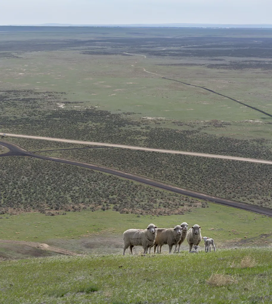
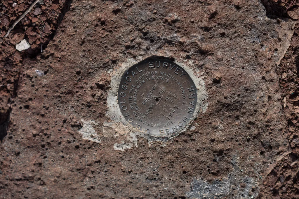
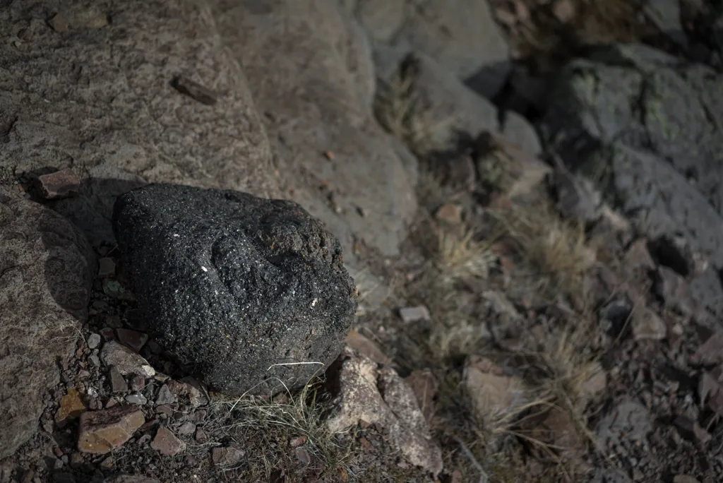
The butte is almost bare lava rock, a sign of its young age.¹
I stop for gas at Grand View and notice the veritable ride rally at the adjacent Y Bar & Café. You could tell me fifty bikes are parked there and I’d believe it. I stand in the lot in front of the little mart drinking Mountain Dew and eating jerky, watching flamboyant highway riders.
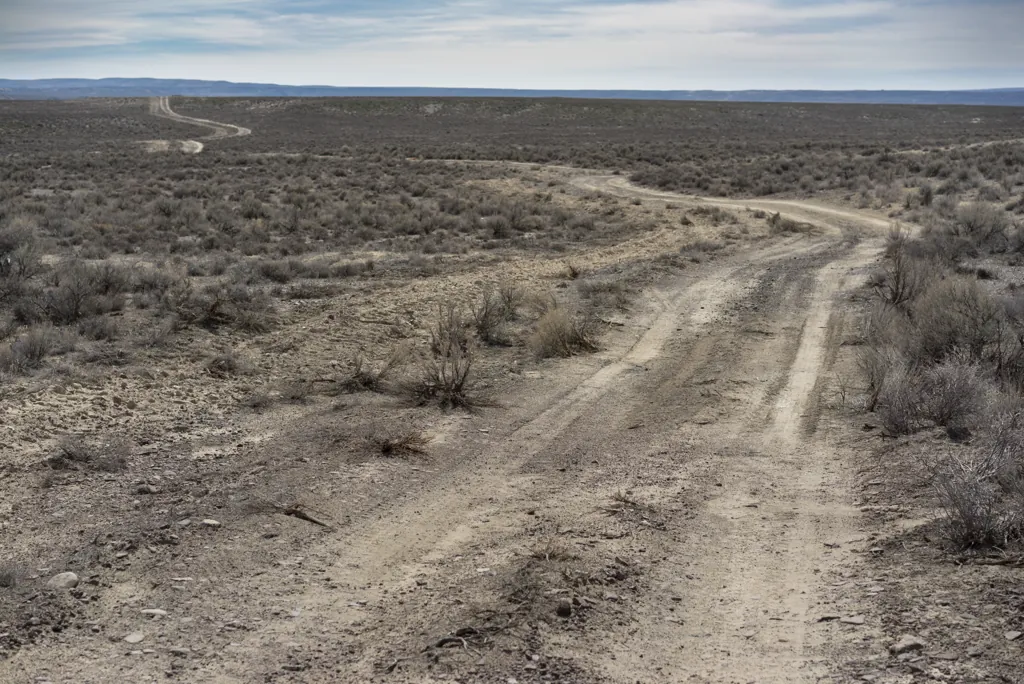
Mud Flat to the Shoofly Cutoff road is a whole lot of straight lines. It makes me think again of GS speeds. But once onto the jeep trail that runs along Little Jacks Creek, the KTM is beautiful, lifting the front as it flies over swales, whoops and rocks like nothing. It’s a blast.
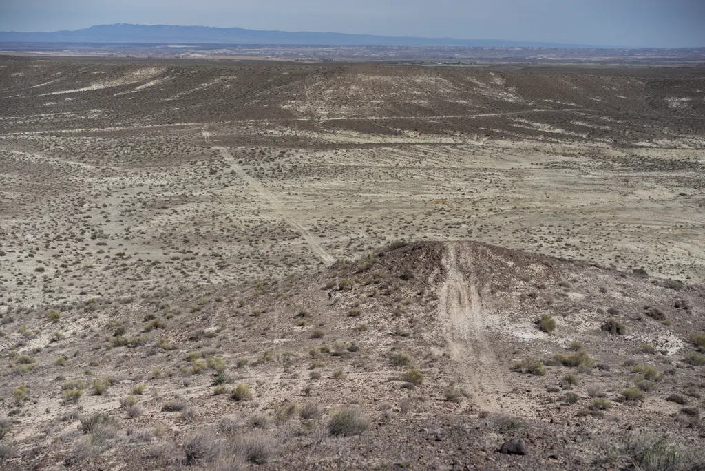
On a whim I follow an ATV track over a hill and into a dry creek bed. The track seems to disappear after rounding a bend but I can see where it and others continue atop the low hills ahead. Perhaps the traffic is too light and soil too ephemeral to maintain a trail’s impression. I’m left to infer the line of the old route.
Until the BLM has completed travel planning in Owyhee County, all recreational motorized and mechanized off-highway vehicle, and mountain bike use will be limited to existing roads and trails, and off-trail cross-country travel is prohibited, except in areas specifically identified as open or closed or limited to designated routes by the Owyhee Resource Management Plan.
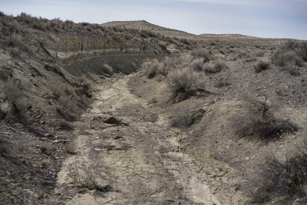
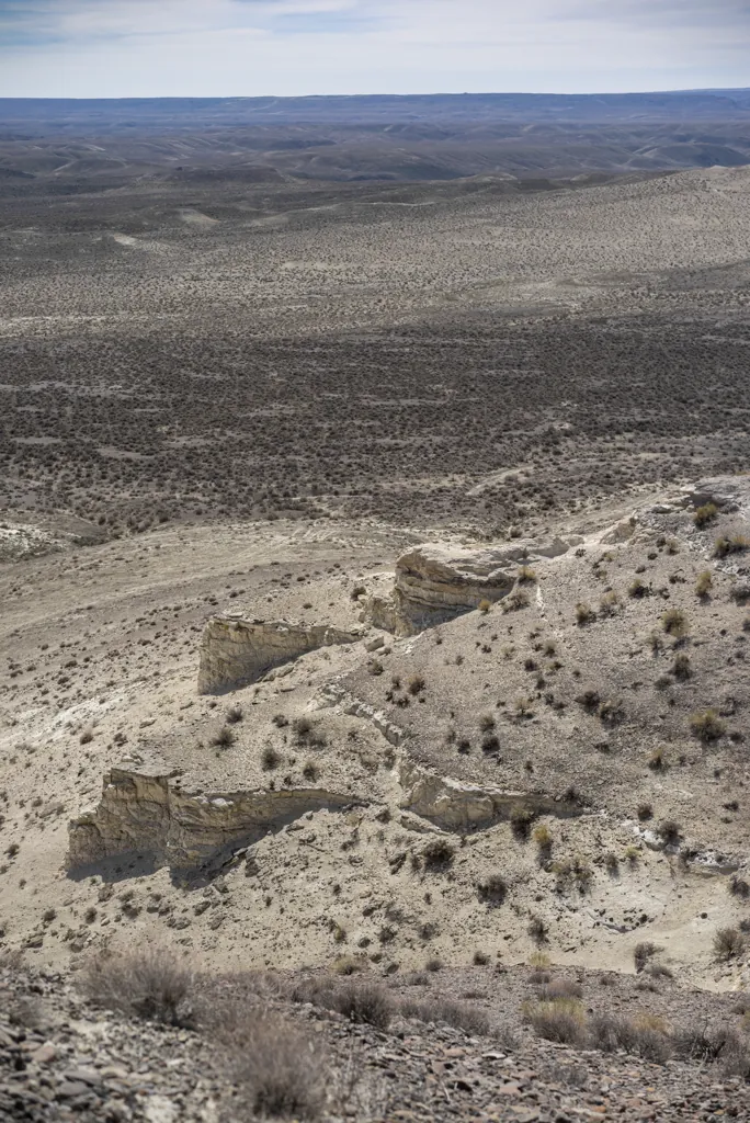
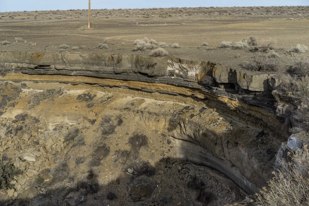
I get the impression this land hasn’t changed much from the millions of years it spent at the bottom of massive Lake Idaho¹ accumulating hundreds of feet of silt, clay and ash² infused with fish and mollusc fossils, to create what is known today as the Chalk Hills Formation.³
If it looks a bit drab, it helps to think of that extraordinary history.
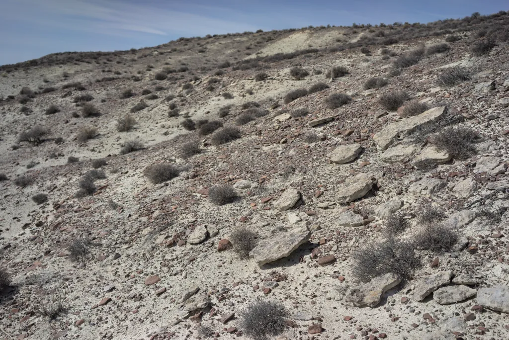
I am impressed as I continue riding how much it looks like the daily Mars images I follow.¹ I think I might see Curiosity Rover over the next hill.
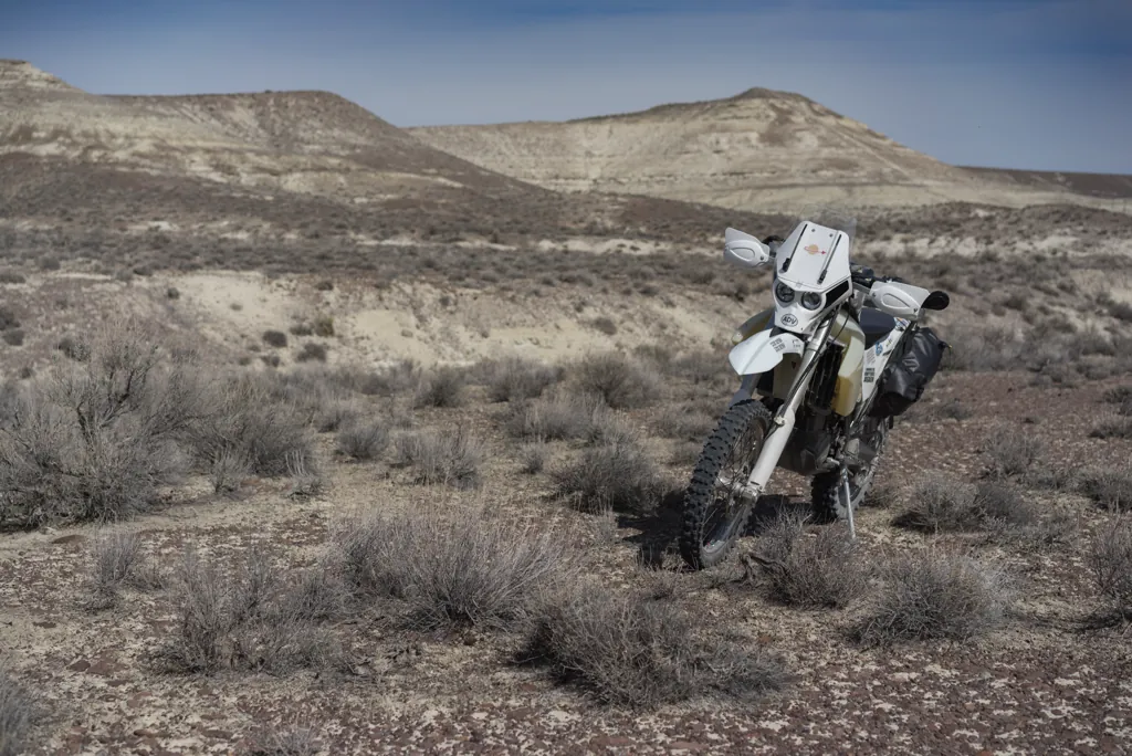
It is often observed that religions are born of the desert where the mind of the itinerant has only itself to contemplate. This brain uniquely adapted among the world’s creatures to comprehend other minds finally resorts to invisible intelligences.
The otherworldly solitude is breathtaking — no sound and no structure anywhere I can see. A smell of sage comes on the breeze as I turn slowly around, straining for meaning in the temple of a nihilist god.
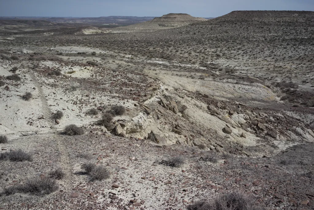
The landscape brings to mind a play I had the opportunity to see in Chicago, “Art,”¹ which centers around an expensive painting of white lines on a white background.
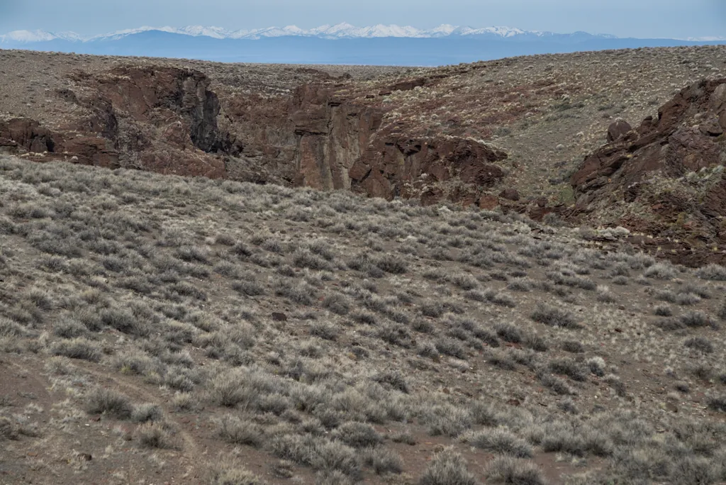
As if to compensate for the barren land around, each bit of water draining out of the Owyhees seems to cut amazing gorges through the old lake sediment and deep — sometimes eight hundred feet deep — into underlying basalt and ryholite.
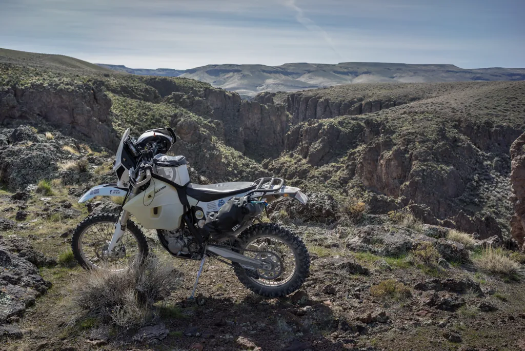
I am still some ways from the official Little Jacks Creek Wilderness but jutting rock catches my eye. Nature was already calling. Now she’s flagging me down.
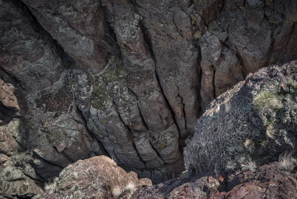
The Owyhee, Bruneau, and Jarbidge river systems provide the largest concentration of sheer-walled rhyolite/basalt canyons in the western United States. Though not unique to southwest Idaho, the presence of these geologic formations in such great abundance and aerial extent makes the designated river segments geologically unique from a national perspective.¹
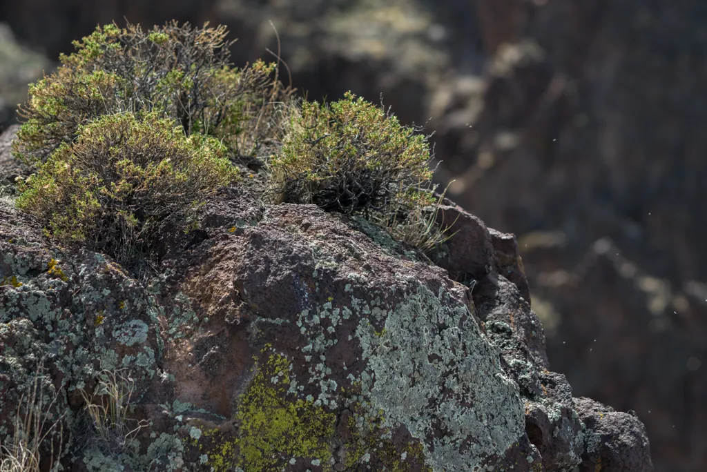
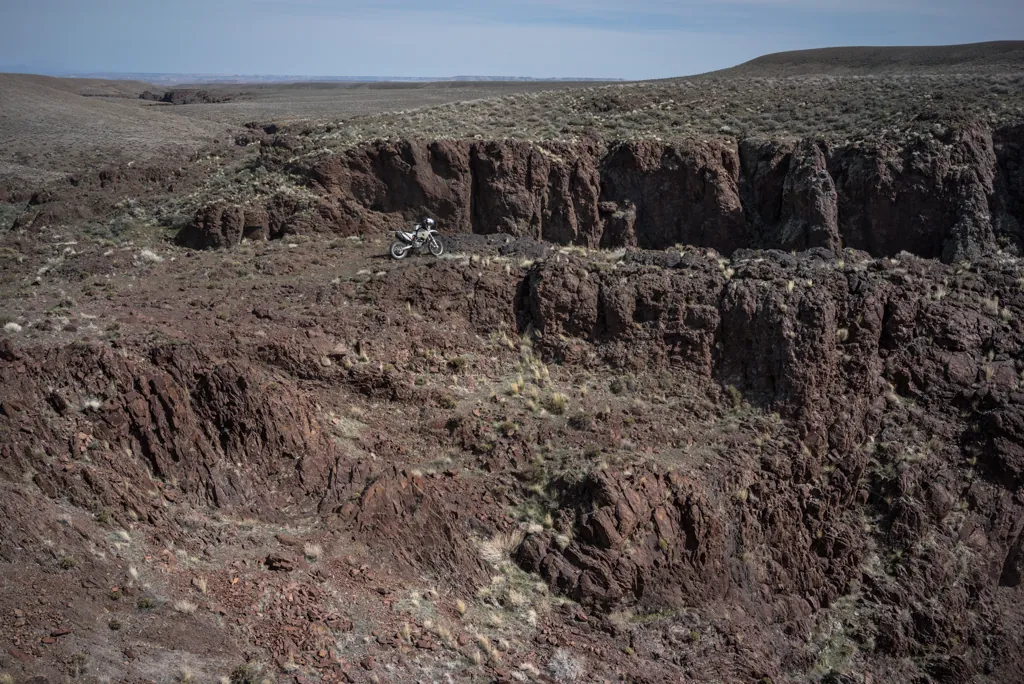
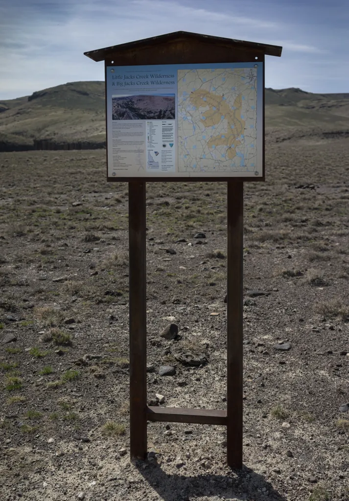
After a little hike around I continue riding the ten minutes or so to the gravel parking area at the wilderness trailhead. There’s nobody here. I really haven’t seen anyone since leaving Grand View.
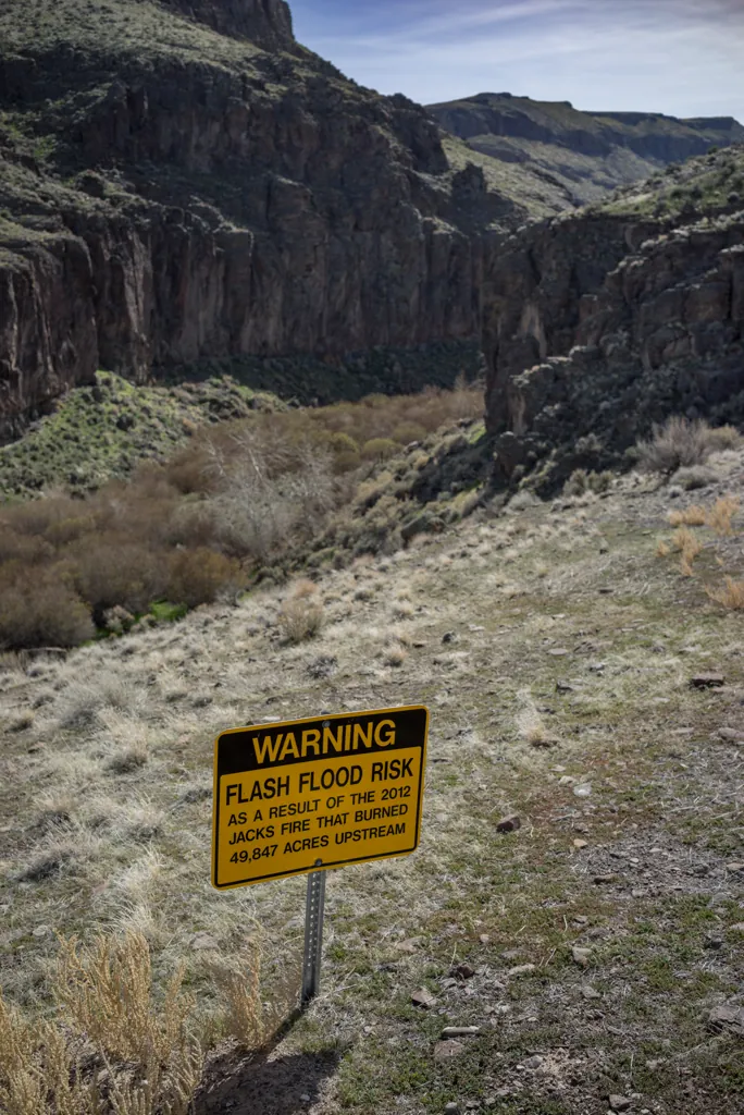
I find a place the bike will stand on the hillside gravel lot, transfer the GPS to a pocket, and start walking down the only trail I see. This 50,000 acre area was designated wilderness only five years ago.¹ Prior to that I guess I could have continued riding but I’m glad for hiking too.
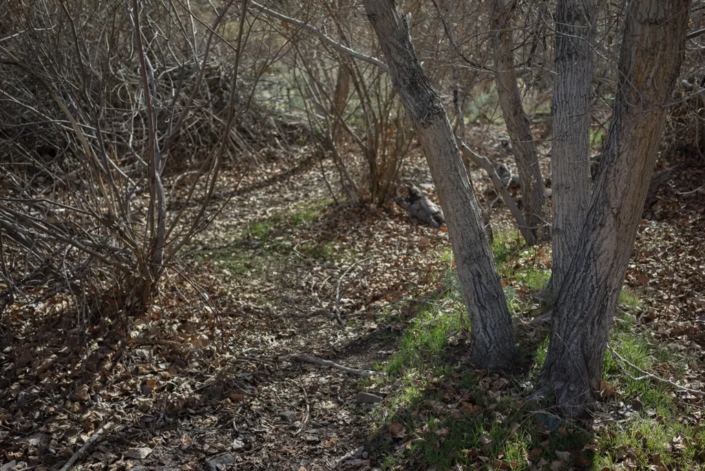
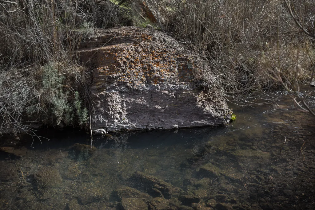
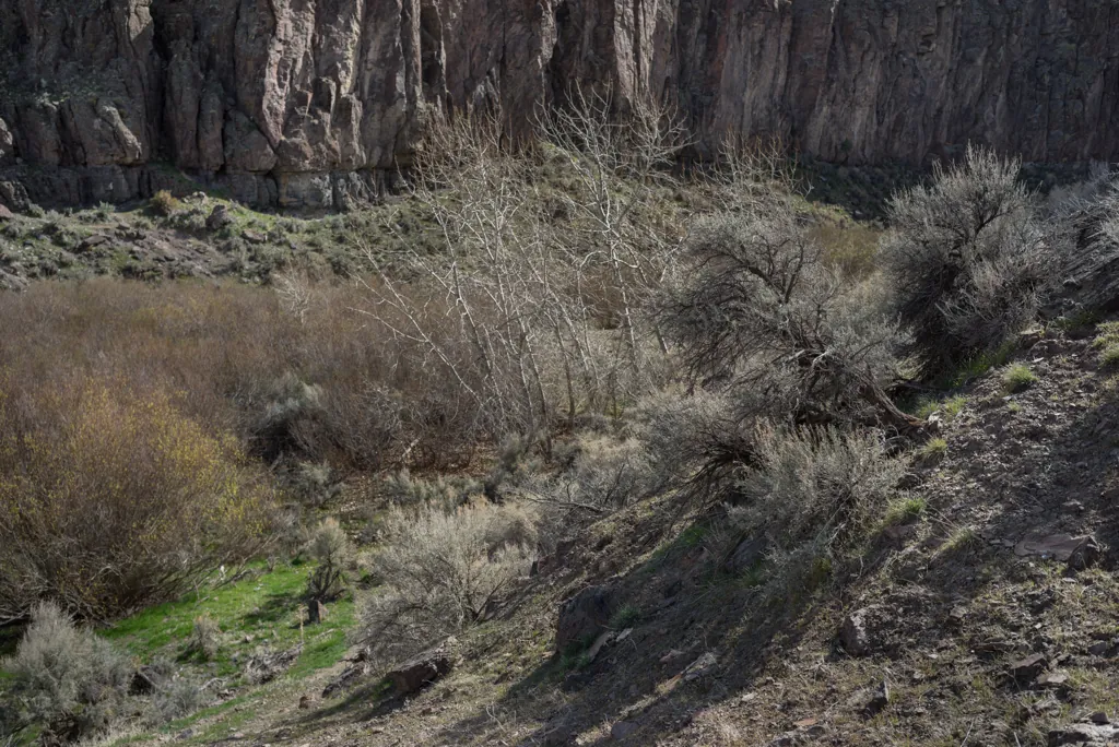
I expect to follow a path along the creek, like Jump Creek,¹ but it turns out there isn’t one. There’s just a mile or two loop above the opposite side of the canyon.² That’s the same kind of country I’ve been riding through so I choose to battle brush along the creek.
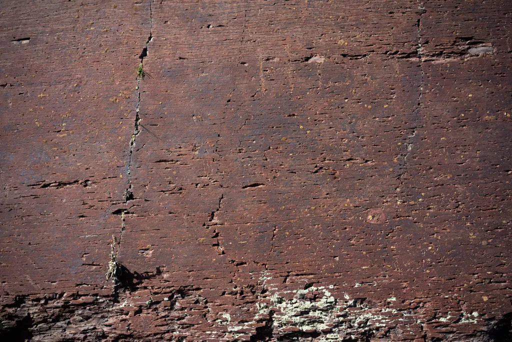
I keep thinking I need to take a geology course or two down the road at Boise State University. I’m always fascinated by the rock forms (morphology, chronology) I find out here.
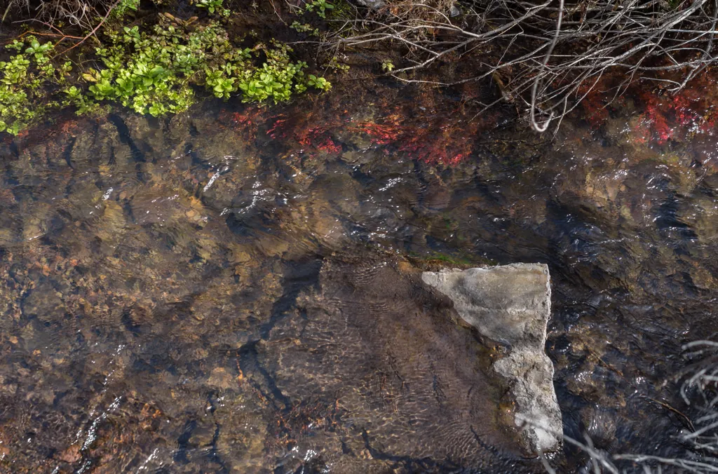
Little Jacks Creek’s good water quality, a well-shaded riparian vegetative canopy, and long-term protection from livestock grazing have produced the highest densities of redband trout of any surveyed stream in southwest Idaho.¹
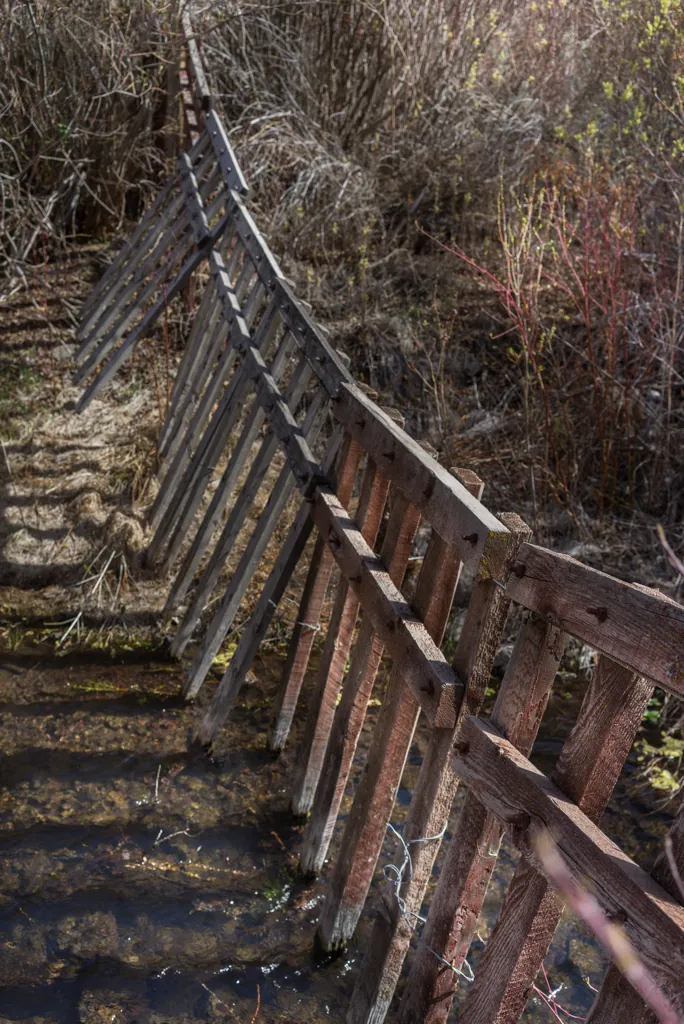
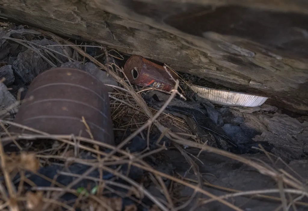
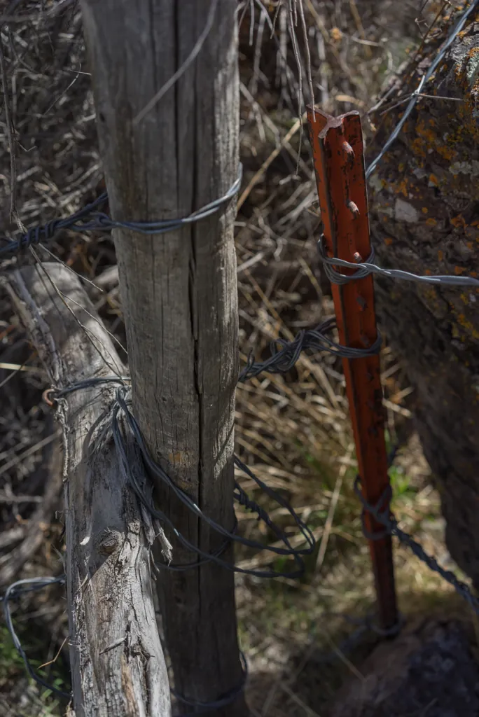
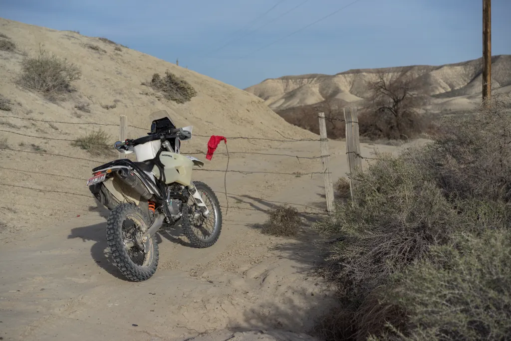
Following the creek requires passage through one of the wire gates that’s ubiquitous around here. It’s not unusual to pass through a half-dozen in a day of riding. This one has the lever to help stretch it closed again, called a “cheater.” I like gate cheaters.
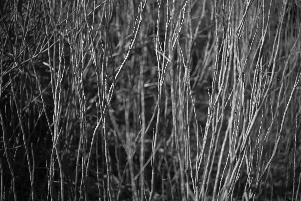
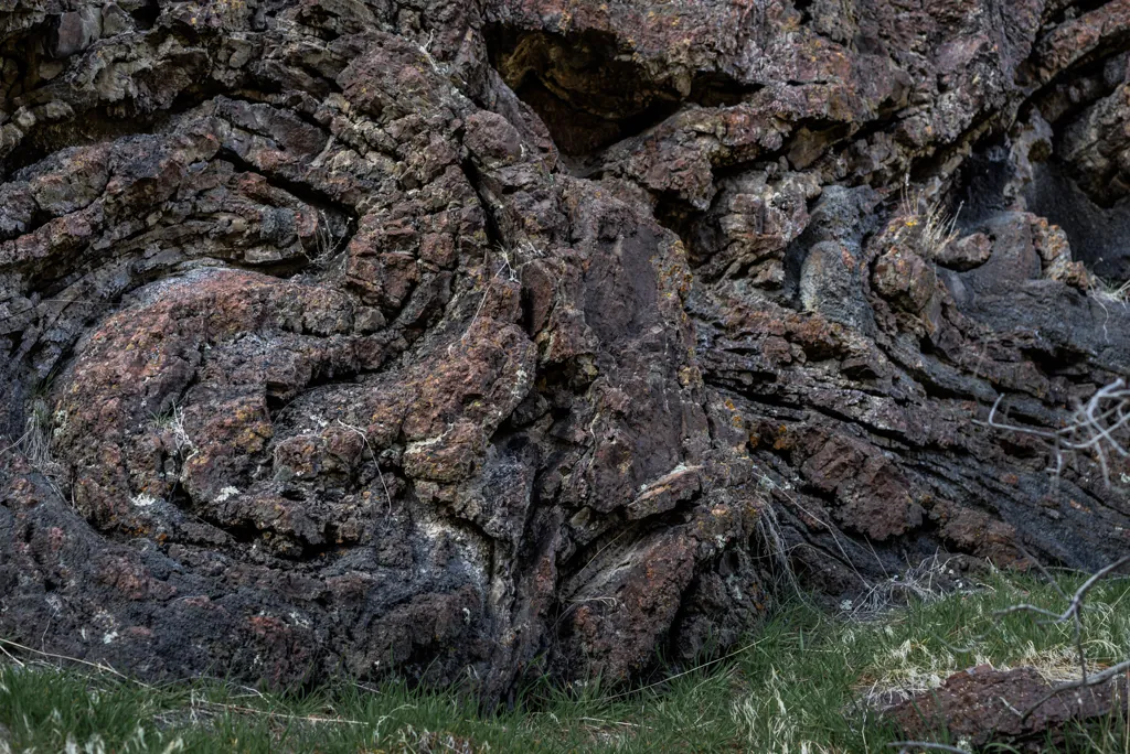
Brush is getting thicker so I decide to call it good and head back. I have other stops to make today. To avoid some brush on the return I climb up to follow the canyon wall.
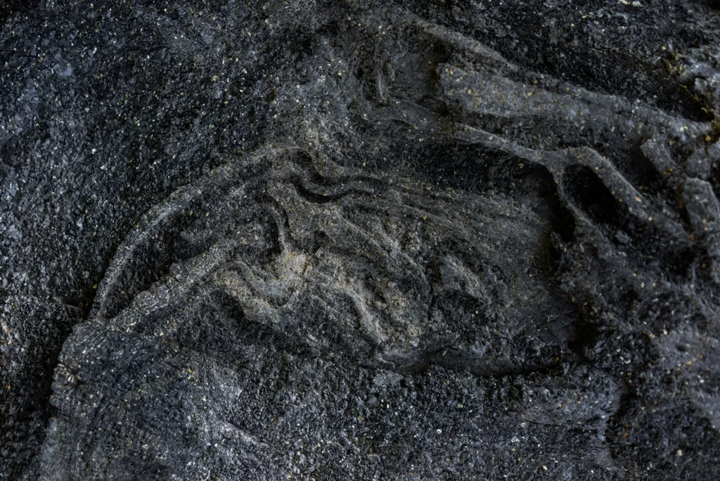
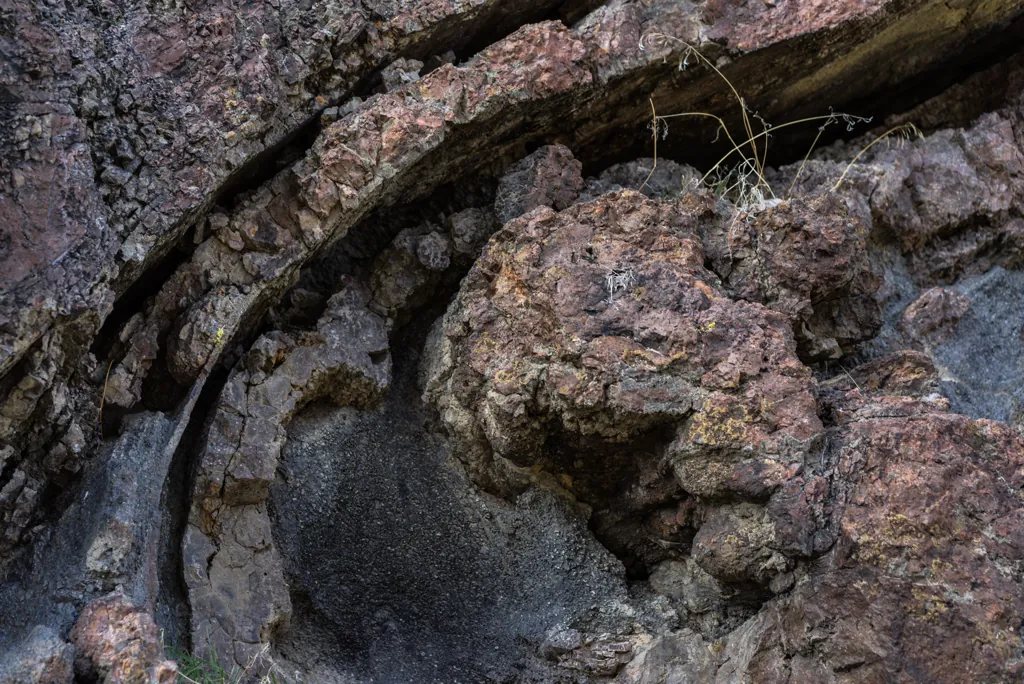
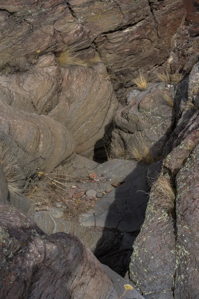
I stop regularly to examine shapes in the rock wall, intriguing puzzles for the imagination.
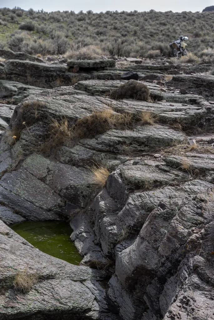
That was a shorter hike than I expected so I don’t mind stopping for other exploration as I ride away. I thought of bringing the family to Little Jacks Creek Wilderness when we visited the oolite a few months ago¹ and again before we settled on Jump Creek.² Call me a philistine but I’m glad now we didn’t go. The most interesting areas I’ve seen today aren’t there but here in the unnamed and “unprotected” places where water has grappled with rock in curious ways.
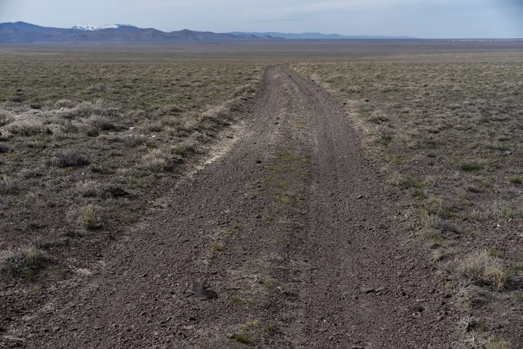
A conveniently direct sequence of roads connects Little Jacks Creek to the Oreana Cutoff. After miles across the plain I’m on a primitive two-track road when I see the cutoff road across a draw — almost there!
My heart sinks a moment when I see a fence but it’s the usual wire gate and I’m through in a minute. At the bottom of the draw I splash through Shoofly Creek and stop just feet from the public road to open a final gate. I look for the wire loop and instead see a chain and padlock. Argh.
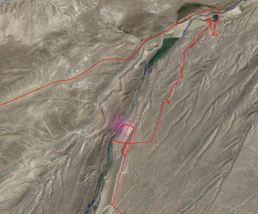
Even though there’s a logic to locking gates along the front of your land but not the back, I’m peeved when I get stuck on someone’s land (this is the fourth time¹). On the map it looks like eighteen dirt miles to get back to the Shoofly Cutoff Road then return this way to end up five feet from where I’m standing. No thanks.
Instead, I follow the maintenance trail along the fence, parallel to the road, waiting for a gate or opening. It’s rougher here and I drop the bike on a steep bit littered with softball rocks. After being tricked at a couple spots where the fence is hidden by creek brambles I find a section missing the top two wires and am able to lift the wheels over the bottom strand.
It effectively takes half-an-hour to go five feet but it’s better than eighteen miles. I think if I see the rancher I’ll offer some advice.
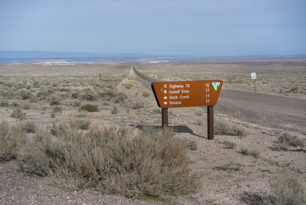
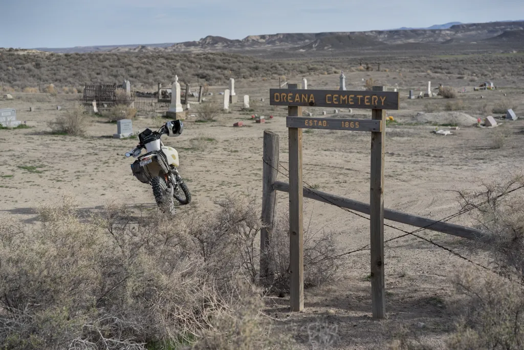
After miles at top speed the GPS says the Oreana Cemetery should be off to my right, though I can’t see much there. The road here is bordered by mounds of powdery earth rippled by the wind, piled against tumbleweeds that are in turn stacked against wire fences. It makes me think of those old Dust Bowl photos. A large jack rabbit hops across the dusty driveway as I pull off toward the cemetery.
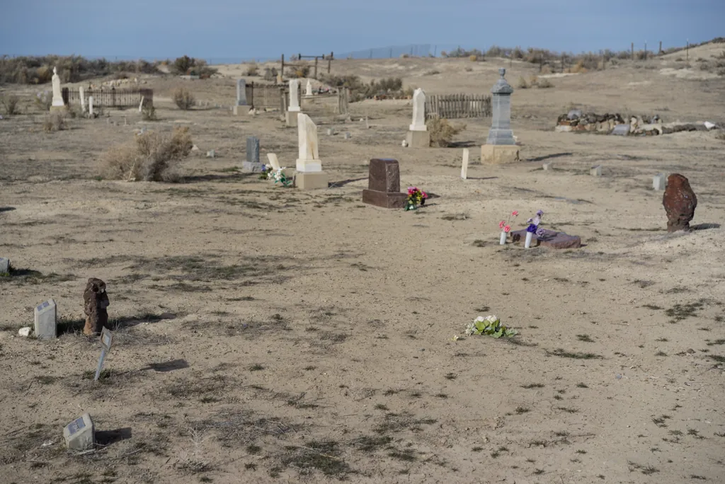
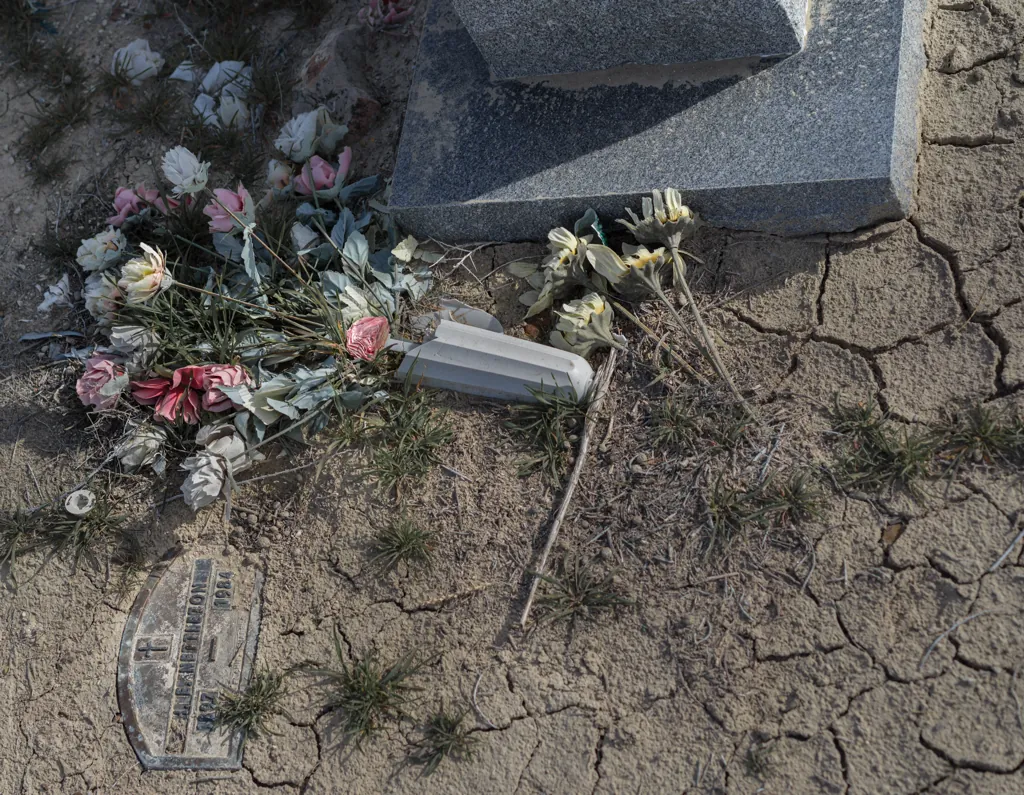
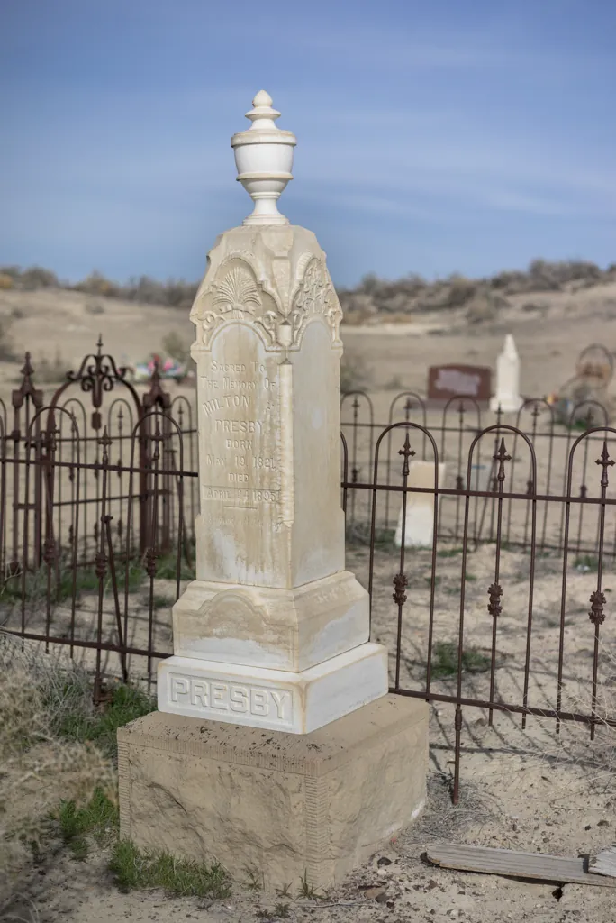
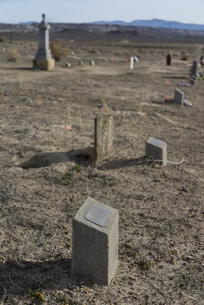
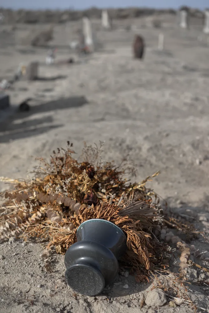
Like other pioneer cemeteries in the area,¹ there are many “unknown” markers here — maybe immigrants who died soon after coming to work mines or on ranches. Or maybe travellers on the nearby Oregon Trail southern alternate route.
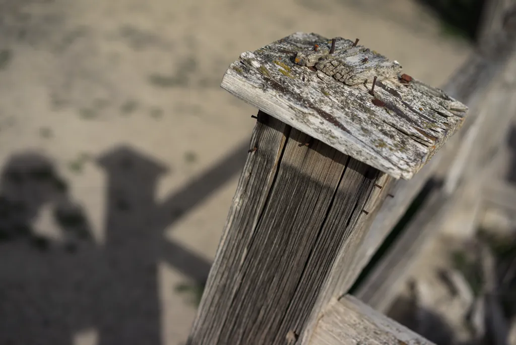
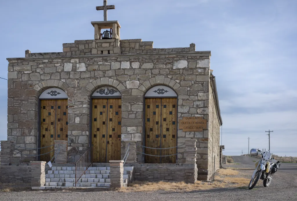
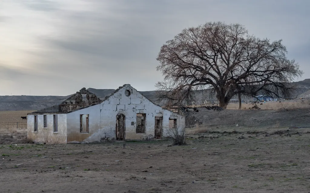
I ride a little farther to an old Catholic Church¹ that’s on the National Register of Historic Places,² about all that remains of downtown Oreana, Idaho. Built as a store in 1888, it was donated to the church in 1961.
Grayson & Co., of Oreana have let a contract to Kelly & Doyle to erect a stone store 30×80 feet in the clear at Oreana. The contractors will commence work at once. When built, this will be one of the finest buildings in Southern Idaho. It will be fire proof in all respects, which will render insurance useless.³
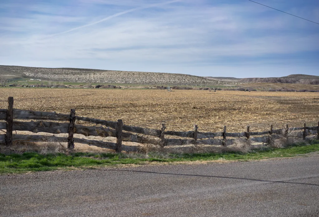
The bell atop the repurposed store is all that remains of the original church that was gutted when the 69 foot high Sinker Creek Dam burst in 1943.¹ I sit in the shade on the white steps below the bell and enjoy a piece of last night’s barbecue chicken, a slice (now blob) of my chocolate birthday cake and a few sips of whiskey from the silver flask my brother Joel gave me. I’m quite contented.
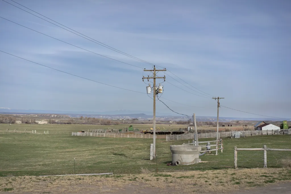
With dinner finished, I head out of town, having seen not one Oreanian (Oreanite?).
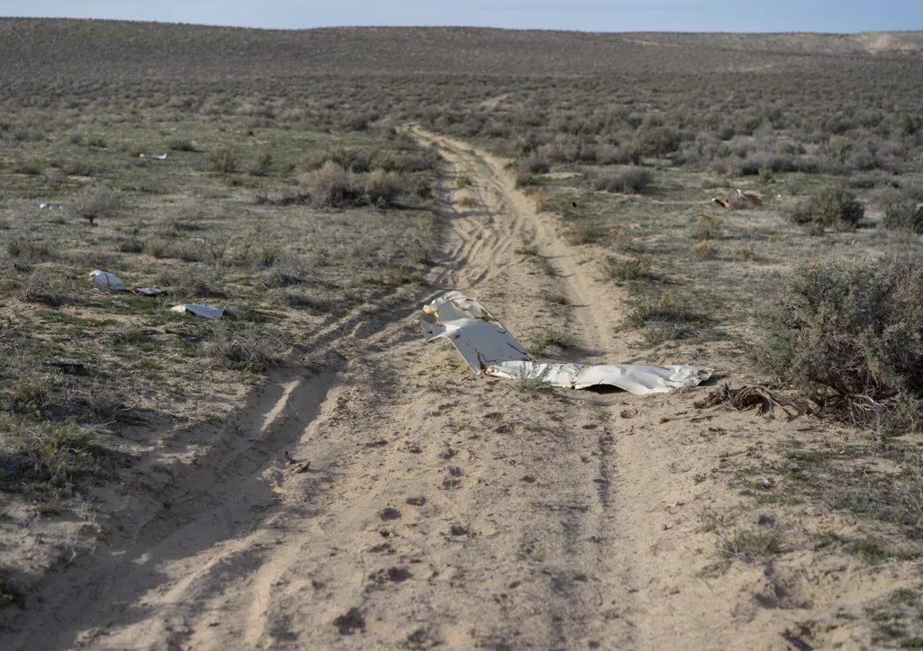
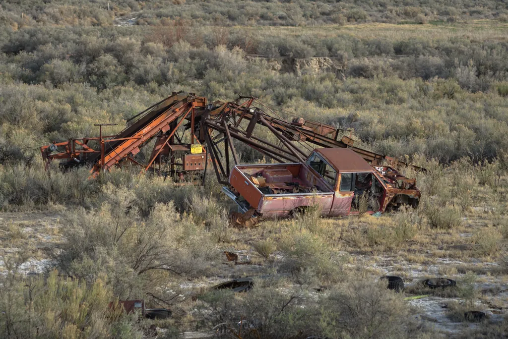
I pick a powdery track across Highway 78 that should take me to the Oregon Trail site where began the infamous Utter Massacre.¹ It appears other things have been recently massacred out here.
I am pleased to make it through a questionable part of my route that from the aerial view looked like a ranch. Daylight has begun to wane. I promised Jessica I’d be home before dark.
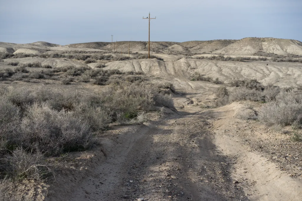
A pair of raptors slowly flap their large, flexing wings to advance from pole to pole ahead of the KTM’s growl.
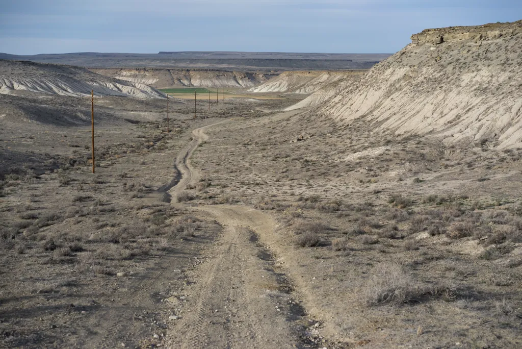
Emigrant Trail (road) is just ahead at the bottom of a shallow draw between chalk hills. The Utter site and my northeastern route home is that way.
As I get nearer I see a fence and within it the usual wire gate. Up close, however, I can see the gate is wired thoroughly shut at both ends, made a permanent part of the fence. I can go left or right. I ride east a bit then stop to zoom ahead on the GPS and see this way probably won’t work out. So I turn around.
A single-track hillclimb off the westerly road stays closer to my route so I stand on the pegs and climb up only to find the track thereafter faded and hard to follow. I continue anyway, winding through the scrub, keeping Emigrant Trail in view on the GPS. Somehow I’ll get there.
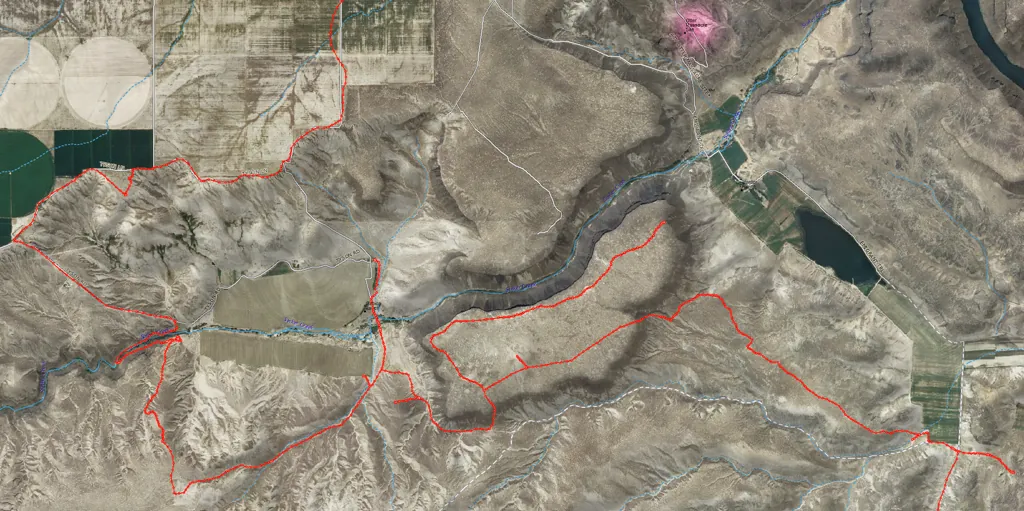
Terrain conspires with fences to force me further from home. I exhaust several leads and see a lot of country I never planned to visit. It takes an hour-and-a-half to cover a difficult twenty miles to finally get to the Emigrant Trail.
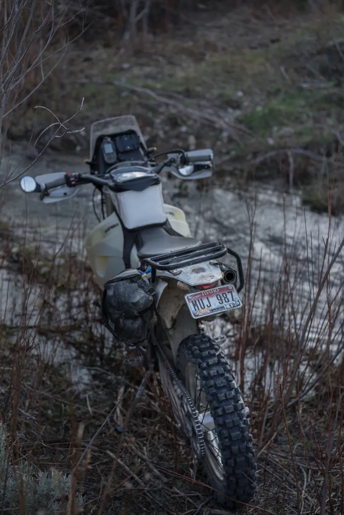
My only reasonable way home is is to walk the motorcycle across Swan Falls Dam.¹ I wasn’t expecting to be this late and am worried now that the catwalk across might be locked for the evening. So even though I’ve finally made it to within striking distance, I forego the Utter site and ride like mad for the dam.
I am mightily relieved when I reach the river and am able to push across the dam. It’s rather pretty with its lights on. The other end, however, has an ugly surprise: a six-foot chain-linked fence. I wonder if I have cell service to call Jessica and let her know it will be several more hours before I’m home.
Before despairing, I have a last look around. It pays off. I find I can fit through a gap behind a shed. Wow. It’s nearing dark now so I fly out of the canyon and along Moore Road back across the Orchard Combat Training Center to home, arriving just in time to tuck the kids into bed.
What a day! These solo rides often involve unplanned shenanigans. I look forward to the next ones.
by Jason Abbott