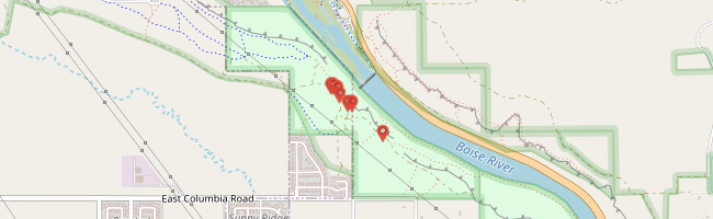
It was Hunter’s and my first time exploring out this way, west along the old Oregon Trail from Boise. We drove the truck along a muddy road off Highway 21 as far as it would take us then walked atop the cliff to the first sign of danger.

It was Hunter’s and my first time exploring out this way, west along the old Oregon Trail from Boise. We drove the truck along a muddy road off Highway 21 as far as it would take us then walked atop the cliff to the first sign of danger.

Hunter brought his bike along but the trail was too muddy for much biking. We were glad it was just us because we knew the girls would have been afraid of the dark and nearby cliff.

Two ramps were built to help Oregon Trail travellers descend from the rim to the river valley,
the Beaver Dicks and the Kelton Ramp. The Kelton ramp is located about 500 feet northwest of Highway 21 and is listed on the National Register of Historic Places. The ramp dates back to the early 1860s. It is a rock cut through the basalt rim between the second and third terraces above the Boise River. Features of the ramp include rock art (pictographs) drawn on the basalt rim face. Origins of the pictographs are unknown but they may represent early advertising attempts.¹


The Boise River Diversion Dam was built in 1906 to fill the New York Canal, primary irrigation source for Ada and Canyon Counties.¹

Little remains in the river once the reservoirs are closed to accumulate water for the desert farmers.

It is interesting to wonder what those early pioneers would think if they could see the valley transformed as it is now and interesting to wonder how it will appear in another 150 years.
by Jason Abbott