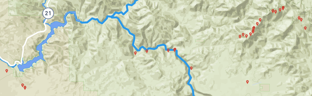
While planning last year’s autumn ride through the Trinity Ridge burn¹ I’d noticed tracks above Smith Prairie on the state’s trail site² that I’d never followed, mountains I’d never visited. Six months and one motorcycle later, I was going to satisfy my curiosity.
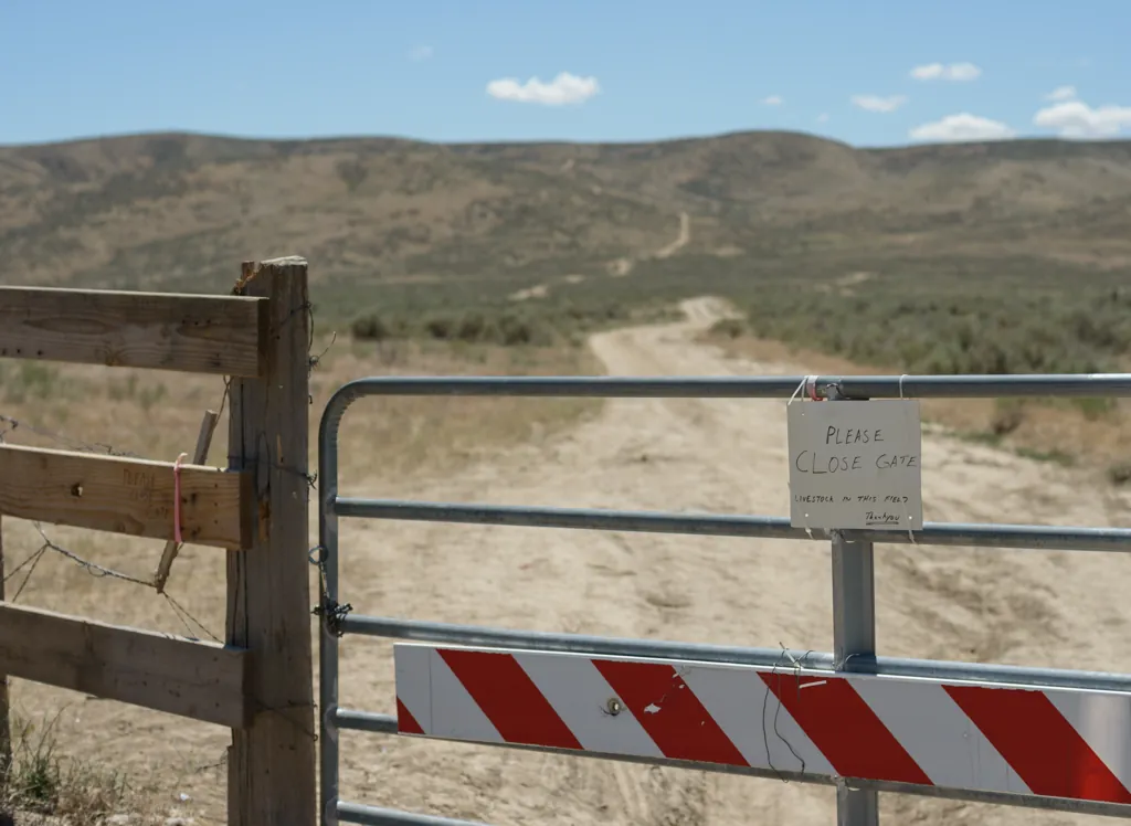
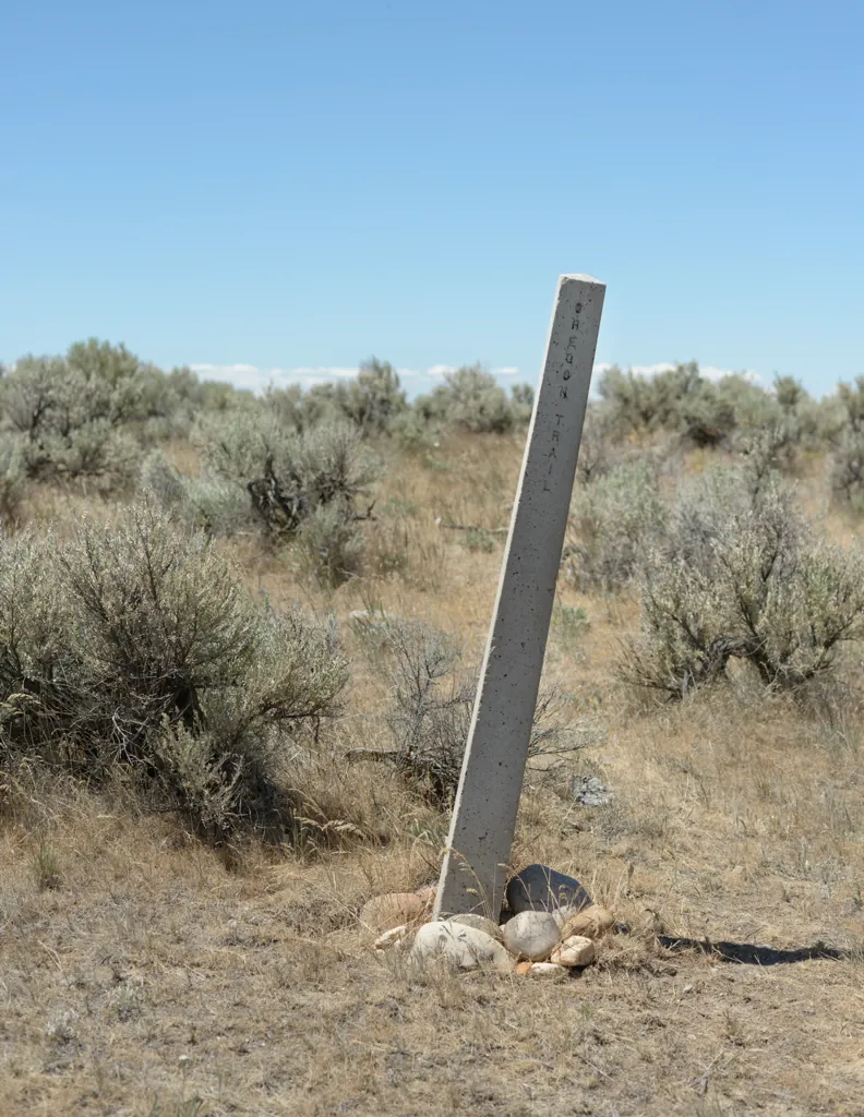
As usual for rides east, I made a dash along Technology Way behind Micron to the dirt remnants of the Oregon Trail that I would follow to Blacks Creek.
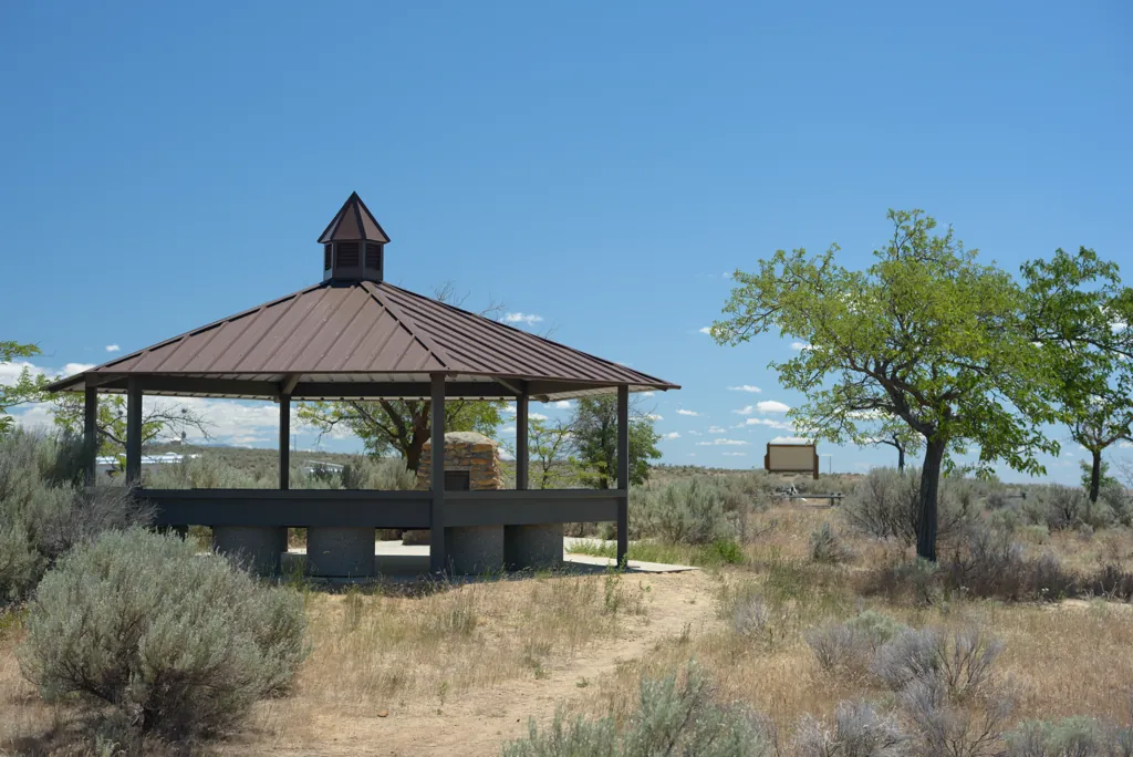
After roaring up the sometimes rocky Oregon Trail I stopped, also as usual, to check straps and stretch my legs at Bonneville Point.
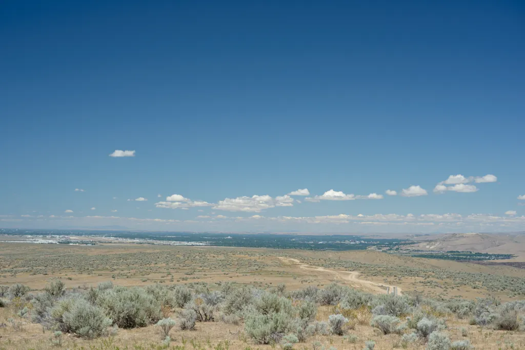
Settlers began emigrating in large numbers after 1843. During the next 25 years more than a half million people journeyed West, seeking free land, new opportunities, and helping to claim the area for the United States. Wagon trains left the Missouri River in early spring and reached southern Idaho in late summer. Fear of Indian hostilities, blazing heat, choking dust, relentless thirst and sheer tedium made crossing Idaho’s Snake River Plain dreaded and difficult.
When the emigrants reached Bonneville Point, they viewed the wooded banks of the Boise River below and knew they had survived the hardships. Upon arrival here, they had traveled 1,450 miles and completed two-thirds of their journey.¹
Bonneville Point interpretive marker.
Nikon D800
Voigtländer Nokton 58mm ƒ1.4 SL II
ISO 100grain
1⁄800 secondshutter_speed
ƒ4camera
-2⁄3 compensationiso
Adobe Lightroom 8.4.1
Les Bois
The landscape before you is part of the homeland of the Shoshone, Bannock, and Northern Paiute Indians. They occupied these lands for countless generations before the arrival of Euro-Americans. Living in small bands of several families, their lives followed seasonal rhythms as they migrated in search of edible plants, deer and bison, and the plentiful salmon that spawned in the Boise River.
The river below was an oasis, trading hub and crossroads for native peoples. Regional bands gathered here to fish, hunt, and trade. Explorers, fur trappers, and emigrants encountered Indian camps along the Boise River.¹
Bonneville Point interpretive marker.
Nikon D800
Voigtländer Nokton 58mm ƒ1.4 SL II
ISO 100grain
1⁄160 secondshutter_speed
ƒ4camera
-2⁄3 compensationiso
Adobe Lightroom 8.4.1
Hot gas
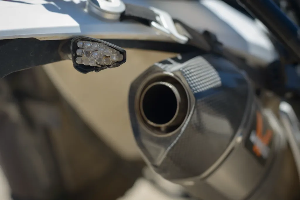
I noticed while getting off the bike that the blinker, after several rides, had just decided the exhaust was too hot after all. Flush-mounts are on order. Until then, I enjoy a stylish wrap of clear duct tape.
Nikon D800
Voigtländer Nokton 58mm ƒ1.4 SL II
ISO 100grain
1⁄200 secondshutter_speed
ƒ5.6camera
-2⁄3 compensationiso
Adobe Lightroom 8.4.1
Crown of thorns
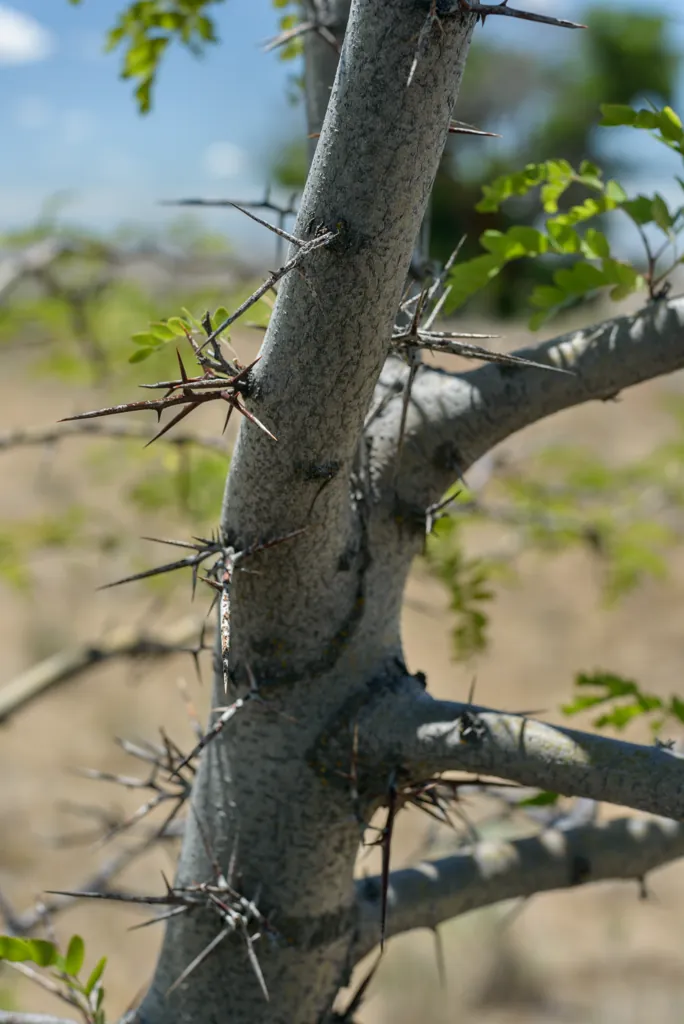
The Bonneville Point landscaping illustrates well the hardships of Oregon Trail travel.
Nikon D800
Voigtländer Nokton 58mm ƒ1.4 SL II
ISO 100grain
1⁄800 secondshutter_speed
ƒ4camera
-2⁄3 compensationiso
Adobe Lightroom 8.4.1
Nikon D800
Voigtländer Nokton 58mm ƒ1.4 SL II
ISO 100grain
1⁄200 secondshutter_speed
ƒ4camera
-2⁄3 compensationiso
Adobe Lightroom 8.4.1
From the edge of Blacks Creek Road
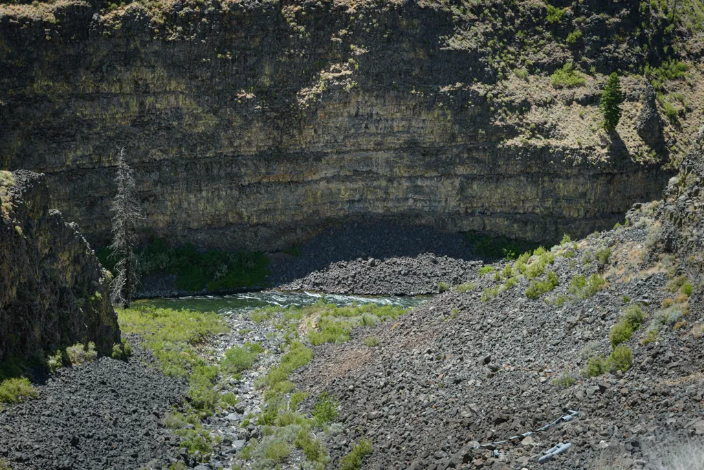
Bright lichens decorate dark strata rising vertically, eon upon eon, from the South Fork of the Boise River. From Bonneville Point I joined Blacks Creek Road to Smith Prairie. The stretch of road along the river exhibits surprising grandeur.
I watched with some fascination a sizable snake writhing in the talons of a hawk gliding below the level of sparse trees for some distance along the road. In Greek mythology, the raptor and snake were an omen of war or doom.¹
Pérez, Diana Rodríguez, “Contextualizing Symbols: ›the Eagle and the Snake‹
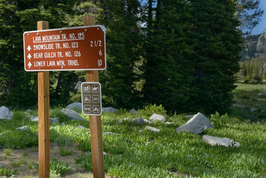
I turned past the Y-Stop¹ and followed Long Gulch Road to the turn marked for Lava Mountain, Road 222 along Spring Creek until I saw the sign for Trail 125.
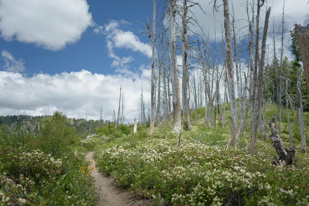
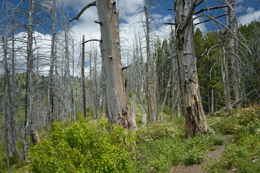
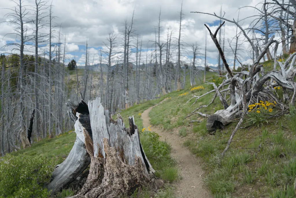
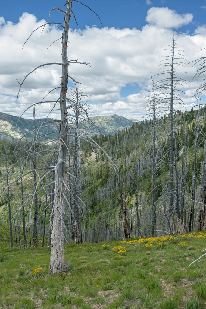
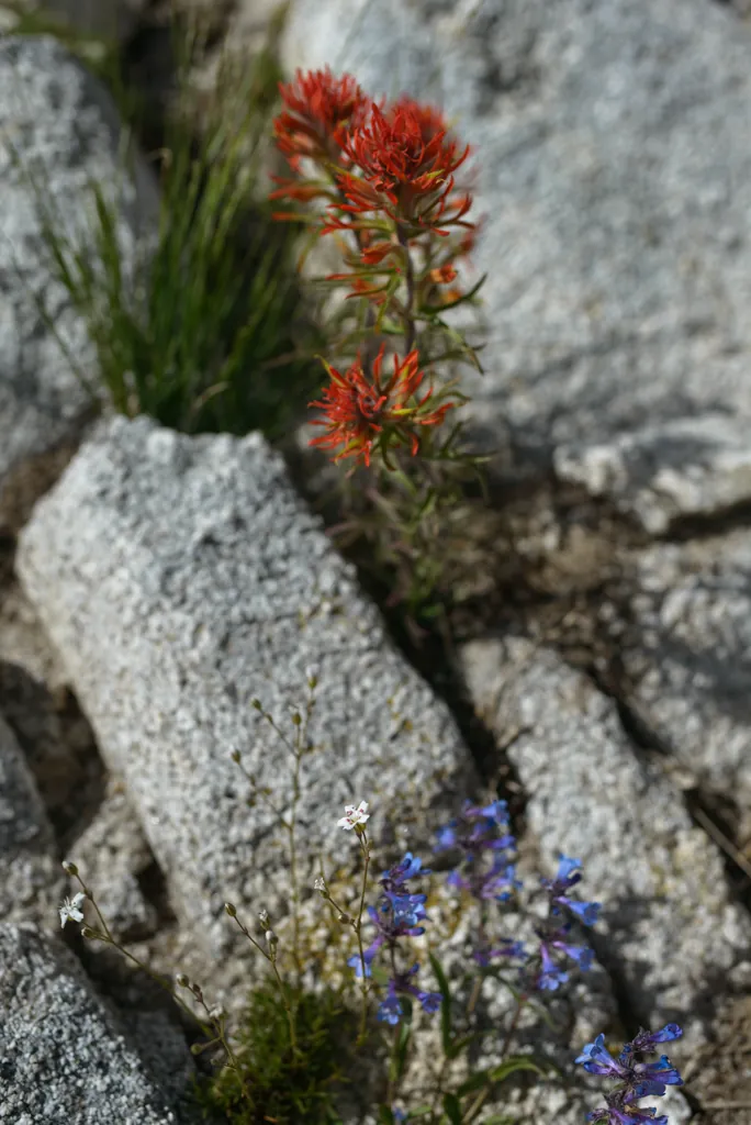
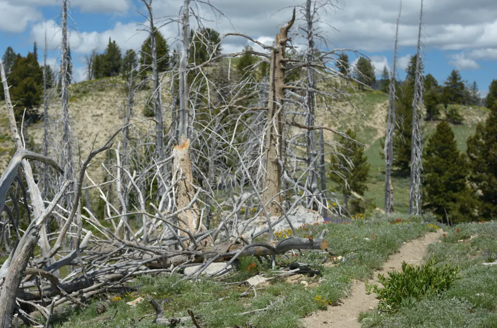
Our brains are wired to anthropomorphize, to see human qualities in things. The thick stand of trees dead and denuded, upright above ephemeral flora around the Lava Ridge path seemed to me solemn and noble, like I should be honored to ride there.
Nikon D800
Zeiss Distagon T* 2/35 ZF.2
ISO 100grain
1⁄1000 secondshutter_speed
ƒ2.8camera
-1⁄3 compensationiso
Adobe Lightroom 8.4.1
Sound of music
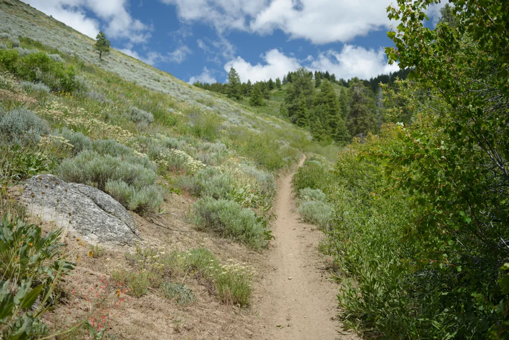
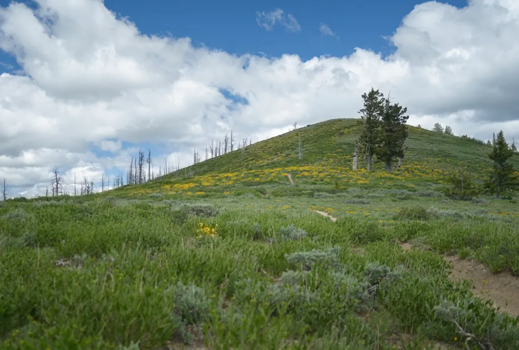
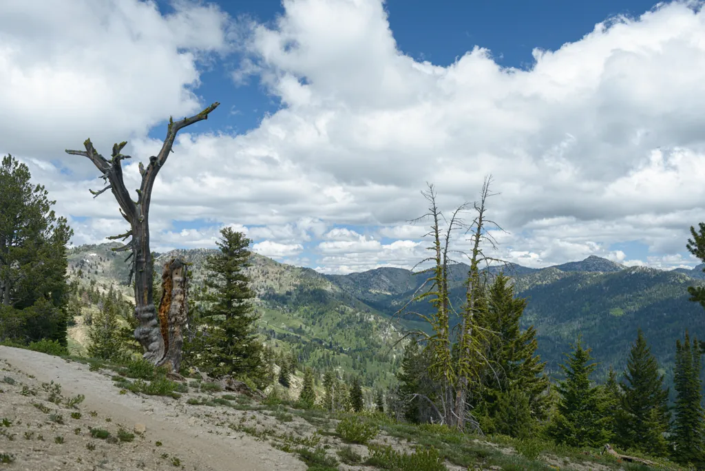
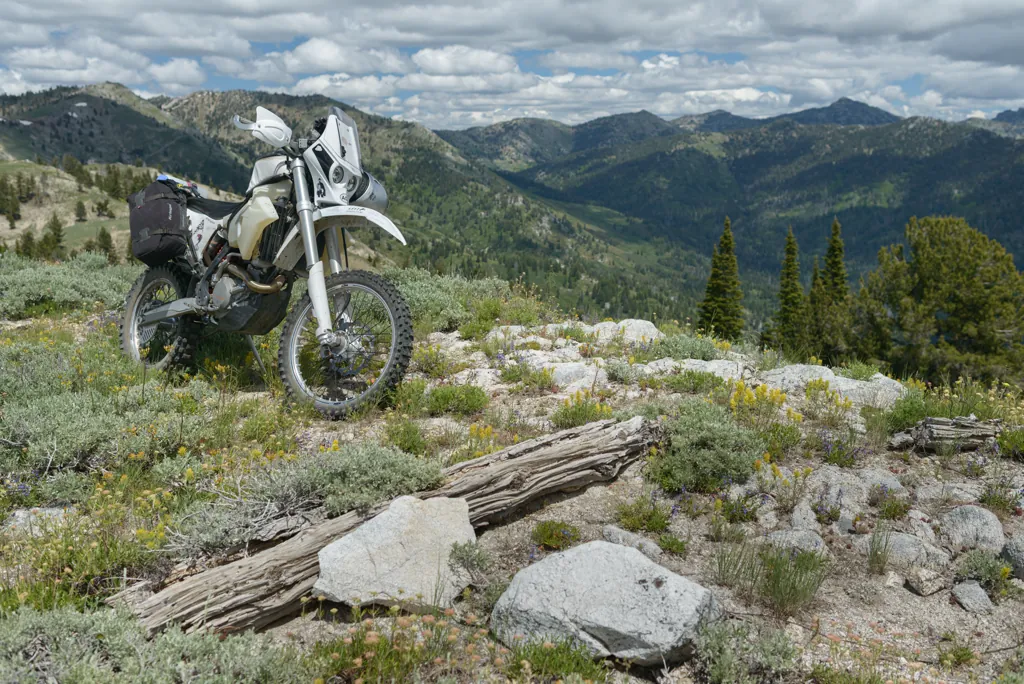
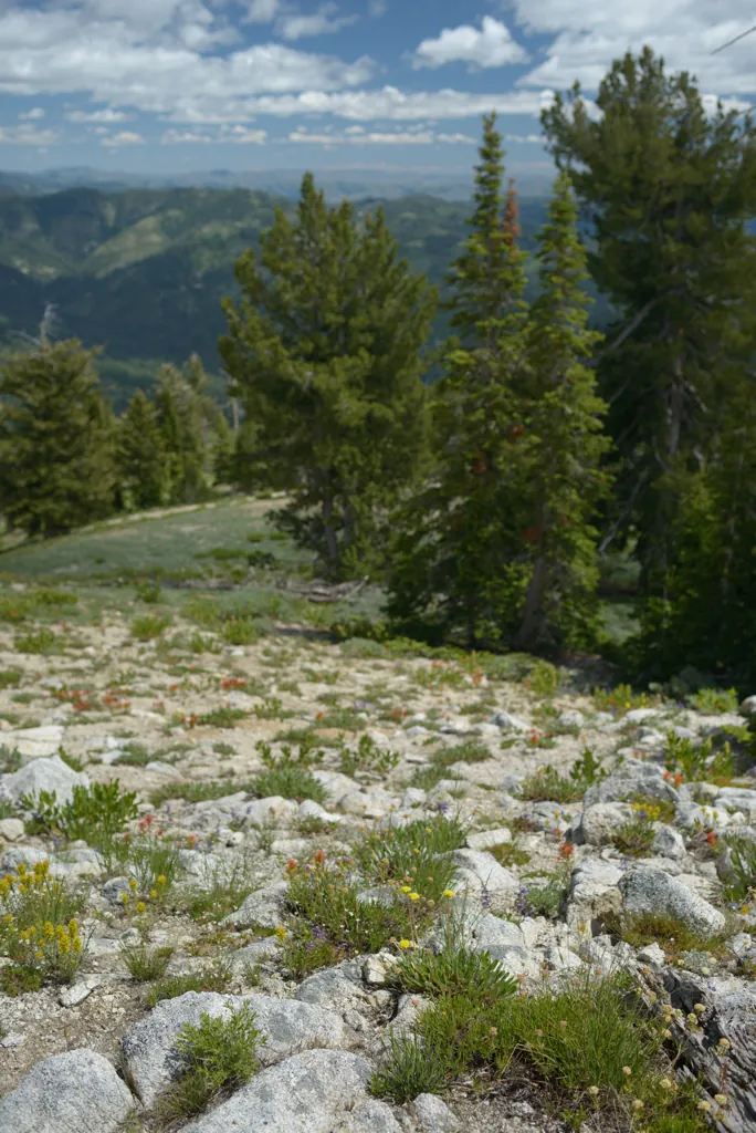
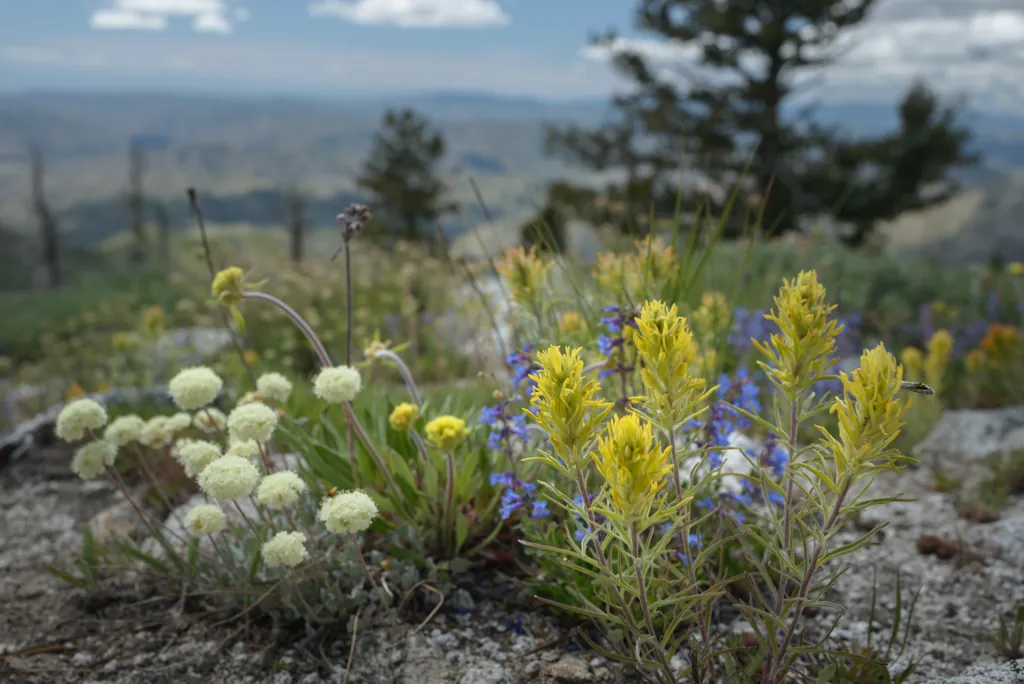
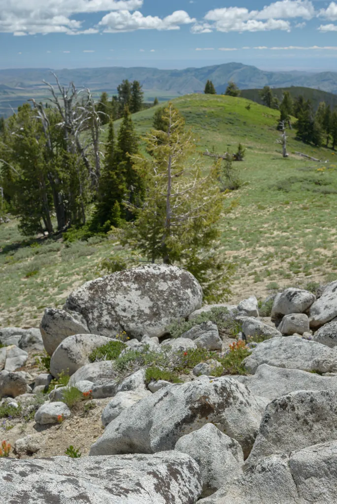
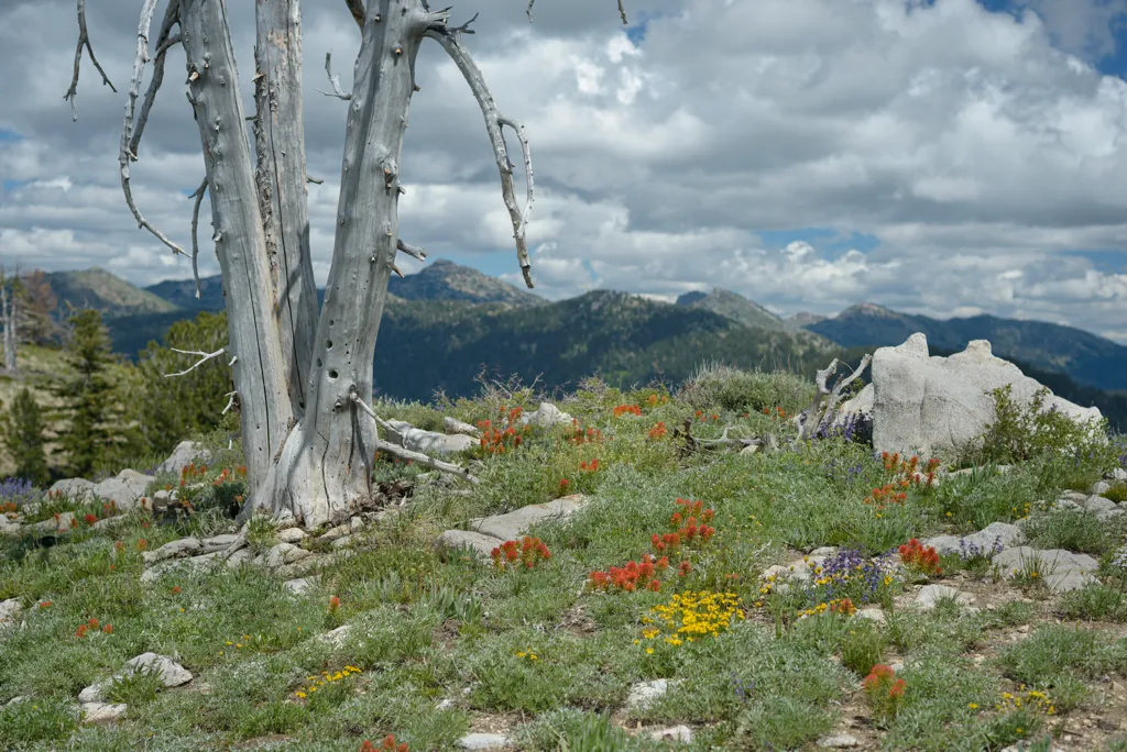
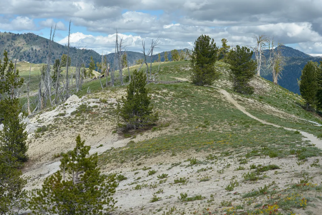
From the forest the trail opened to high hills of flowers and fantastic vistas. It made me want to sing.
Nikon D800
Zeiss Distagon T* 2/35 ZF.2
ISO 100grain
1⁄800 secondshutter_speed
ƒ2.8camera
-1⁄3 compensationiso
Adobe Lightroom 8.4.1
Nikon D800
Zeiss Distagon T* 2/35 ZF.2
ISO 100grain
1⁄320 secondshutter_speed
ƒ5.6camera
-2⁄3 compensationiso
Adobe Lightroom 8.4.1
Nikon D800
Zeiss Distagon T* 2/35 ZF.2
ISO 100grain
1⁄640 secondshutter_speed
ƒ5.6camera
-2⁄3 compensationiso
Adobe Lightroom 8.4.1
View of Trinity Lookout
Nikon D800
Zeiss Distagon T* 2/35 ZF.2
ISO 100grain
1⁄800 secondshutter_speed
ƒ5.6camera
-2⁄3 compensationiso
Adobe Lightroom 8.4.1
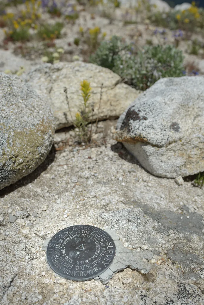
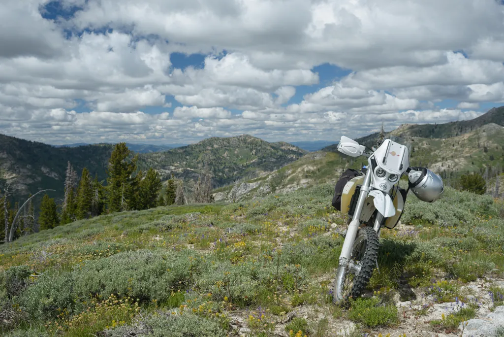
I turned to checkout an outcrop above the trail and discovered it was the official peak of Lava Mountain.
Nikon D800
Zeiss Distagon T* 2/35 ZF.2
ISO 100grain
1⁄640 secondshutter_speed
ƒ4camera
-2⁄3 compensationiso
Adobe Lightroom 8.4.1
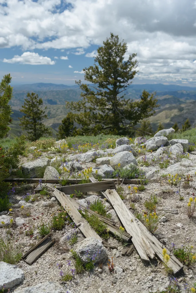
I couldn’t discern what structure had been there from the few boards lying around. They didn’t seem enough to amount to much.
Nikon D800
Zeiss Distagon T* 2/35 ZF.2
ISO 100grain
1⁄80 secondshutter_speed
ƒ8camera
-1⁄3 compensationiso
Adobe Lightroom 8.4.1
Charge up
Nikon D800
Zeiss Distagon T* 2/35 ZF.2
ISO 100grain
1⁄400 secondshutter_speed
ƒ8camera
-1⁄3 compensationiso
Adobe Lightroom 8.4.1
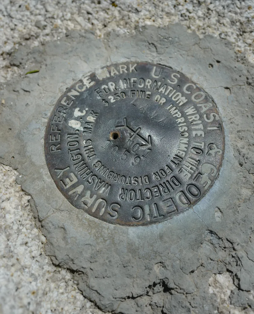
Geodetic marker
Nikon D800
Zeiss Distagon T* 2/35 ZF.2
ISO 100grain
1⁄250 secondshutter_speed
ƒ8camera
-1⁄3 compensationiso
Adobe Lightroom 8.4.1
It was so beautiful. I wished I could bring the rest of the family up.
Nikon D800
Zeiss Distagon T* 2/35 ZF.2
ISO 100grain
1⁄640 secondshutter_speed
ƒ4camera
-2⁄3 compensationiso
Adobe Lightroom 8.4.1
Nikon D800
Zeiss Distagon T* 2/35 ZF.2
ISO 160grain
1⁄80 secondshutter_speed
ƒ8camera
-2⁄3 compensationiso
Adobe Lightroom 8.4.1
Nikon D800
Zeiss Distagon T* 2/35 ZF.2
ISO 100grain
1⁄250 secondshutter_speed
ƒ8camera
-2⁄3 compensationiso
Adobe Lightroom 8.4.1
Second marker
Nikon D800
Zeiss Distagon T* 2/35 ZF.2
ISO 100grain
1⁄160 secondshutter_speed
ƒ8camera
-2⁄3 compensationiso
Adobe Lightroom 8.4.1
Toward Smith Prairie
Nikon D800
Zeiss Distagon T* 2/35 ZF.2
ISO 100grain
1⁄1000 secondshutter_speed
ƒ4camera
-2⁄3 compensationiso
Adobe Lightroom 8.4.1
Nikon D800
Voigtländer Nokton 58mm ƒ1.4 SL II
ISO 100grain
1⁄1000 secondshutter_speed
ƒ4camera
-2⁄3 compensationiso
Adobe Lightroom 8.4.1
Nikon D800
Voigtländer Nokton 58mm ƒ1.4 SL II
ISO 100grain
1⁄800 secondshutter_speed
ƒ4camera
-2⁄3 compensationiso
Adobe Lightroom 8.4.1
I continued from the Lava Mountain Peak further into the mountains toward North Star Lake.
Nikon D800
Voigtländer Nokton 58mm ƒ1.4 SL II
ISO 100grain
1⁄640 secondshutter_speed
ƒ4camera
-1⁄3 compensationiso
Adobe Lightroom 8.4.1
I gave myself tendonitis in both achilles with some bicycling I did at the beginning of June.
“This wouldn’t happen if you were twenty,” the doctor said. “I wouldn’t be surprised if you got into July before it’s better.” Great.
I thought it was safe to ride once it no longer hurt to walk … until I dabbed a toe for balance over some rocks. Ouch! Soon it felt like tapioca in both tendons. It was discouraging. I wondered if I should turn back but decided I would continue with care. Turning back is for ninnies.
That was a fine plan until I was lollygagging at some scenery and washed out the front. It was a minor tumble but I lifted with my back to save the achilles and pulled something there. My back started hurting worse than the achilles!
Jeebus. The hawk and snake had warned me. I was falling apart.
Nikon D800
Voigtländer Nokton 58mm ƒ1.4 SL II
ISO 100grain
1⁄200 secondshutter_speed
ƒ4camera
-2⁄3 compensationiso
Adobe Lightroom 8.4.1
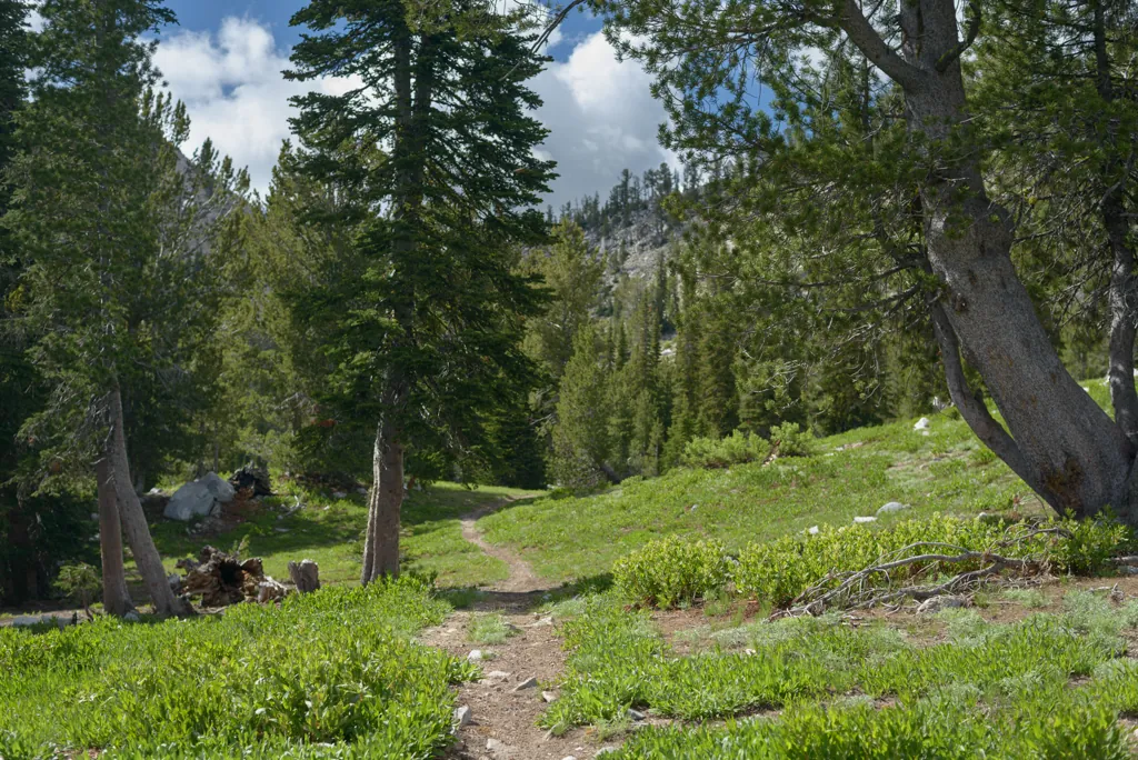
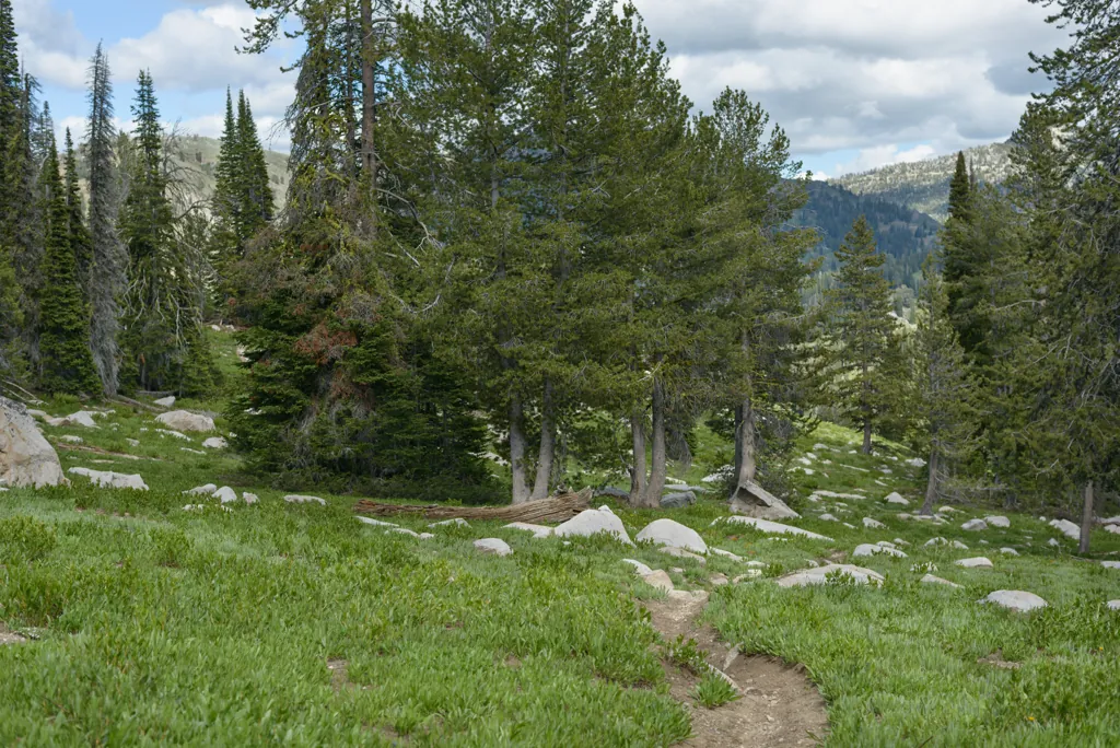
Trail into North Star Lake
Nikon D800
Voigtländer Nokton 58mm ƒ1.4 SL II
ISO 100grain
1⁄160 secondshutter_speed
ƒ4camera
-2⁄3 compensationiso
Adobe Lightroom 8.4.1
Nikon D800
Voigtländer Nokton 58mm ƒ1.4 SL II
ISO 100grain
1⁄1250 secondshutter_speed
ƒ2camera
-1⁄3 compensationiso
Adobe Lightroom 8.4.1
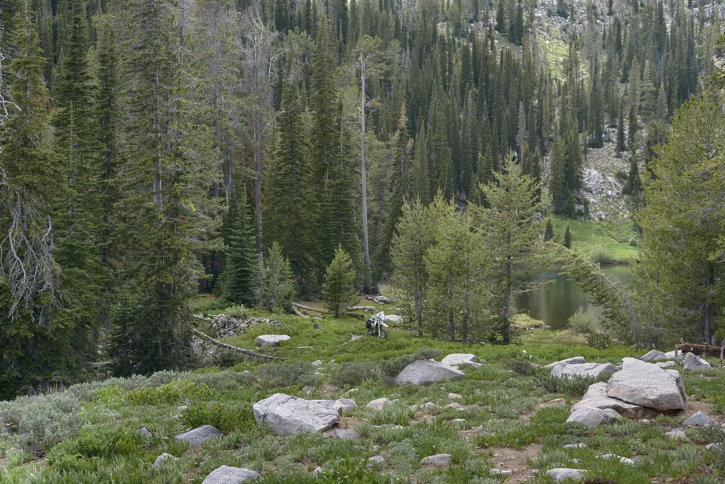
North Star Lake
Nikon D800
Voigtländer Nokton 58mm ƒ1.4 SL II
ISO 100grain
1⁄160 secondshutter_speed
ƒ2camera
-1⁄3 compensationiso
Adobe Lightroom 8.4.1
Hidden campsite
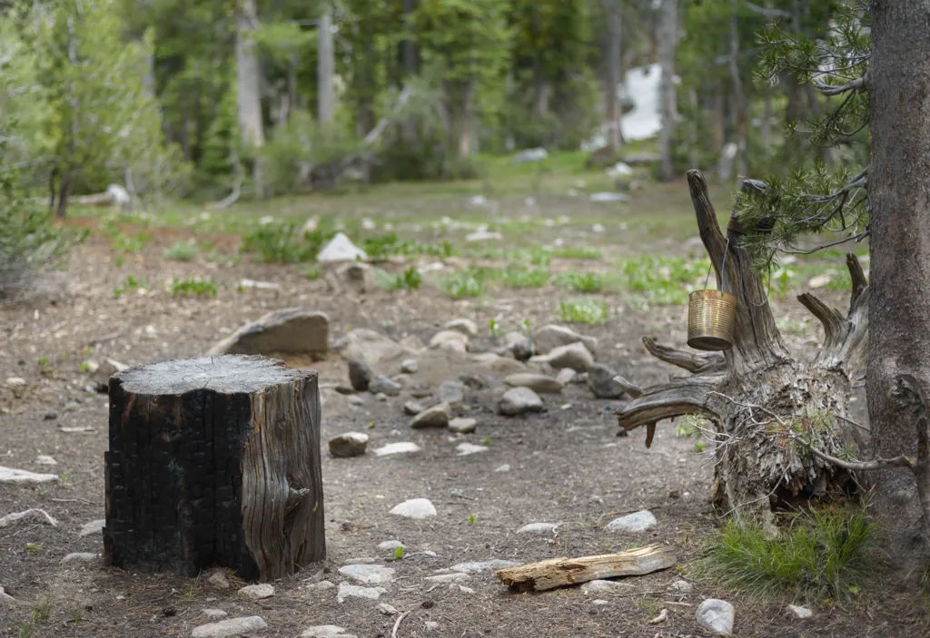
I rode through the trees to explore above North Star Lake. There wasn’t much up there except a curiously isolated campsite. Large rusting cans hung near the fire ring made me think it was an old site until I noticed spent propane canisters lying back in the trees.
Nikon D800
Voigtländer Nokton 58mm ƒ1.4 SL II
ISO 100grain
1⁄200 secondshutter_speed
ƒ4camera
-1 compensationiso
Adobe Lightroom 8.4.1
Nikon D800
Voigtländer Nokton 58mm ƒ1.4 SL II
ISO 100grain
1⁄400 secondshutter_speed
ƒ5.6camera
-2⁄3 compensationiso
Adobe Lightroom 8.4.1
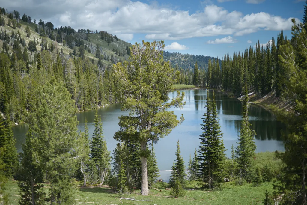
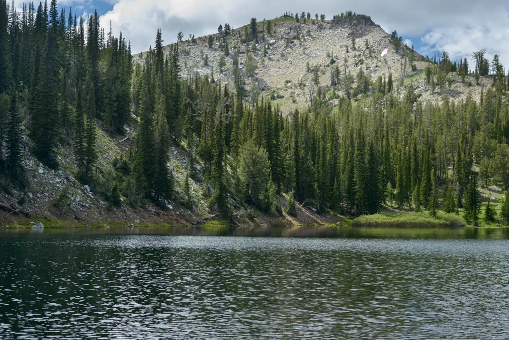
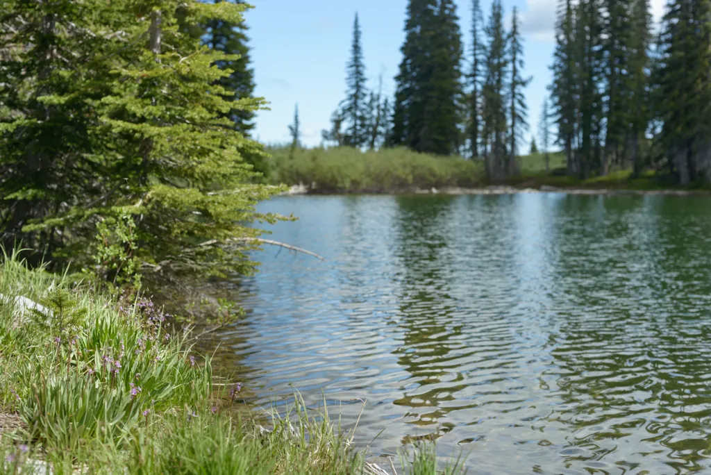
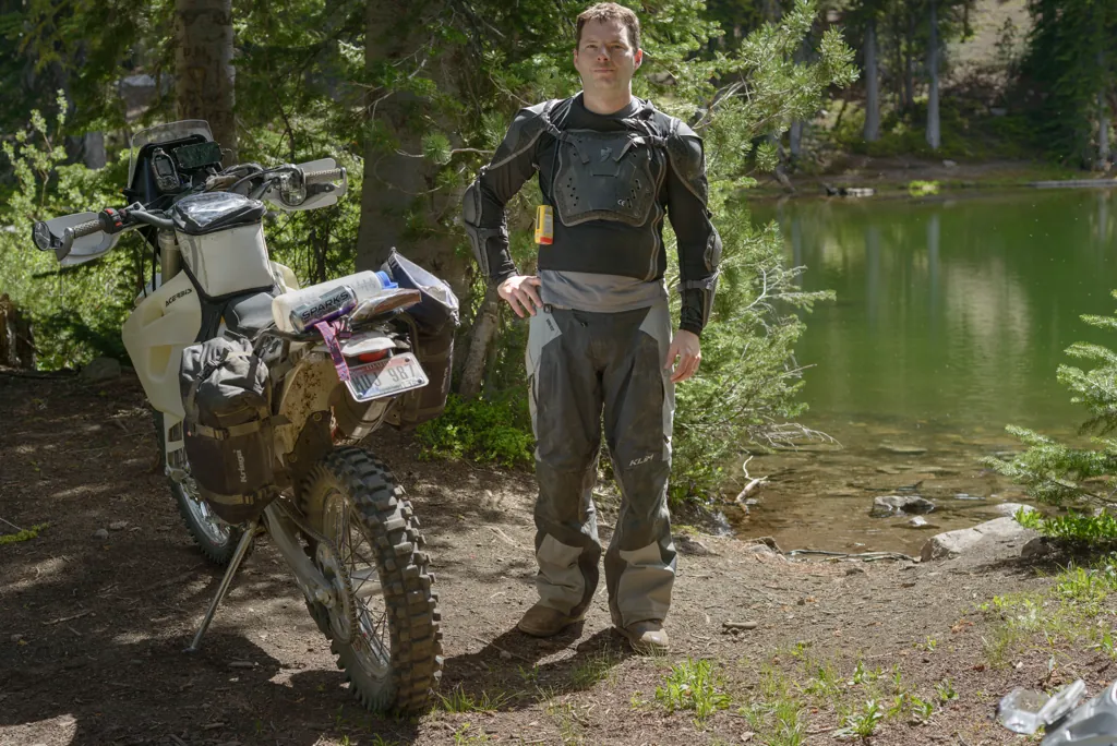
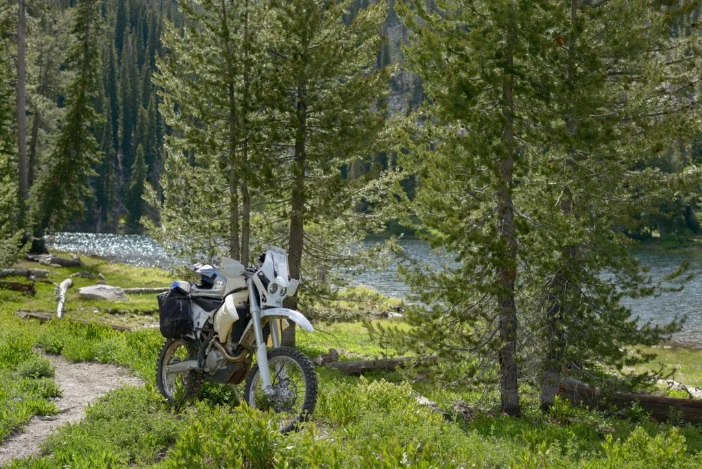
I was glad for a break along the lake. My body needed it. I would love to camp there sometime.
Nikon D800
Voigtländer Nokton 58mm ƒ1.4 SL II
ISO 100grain
1⁄800 secondshutter_speed
ƒ4camera
-2⁄3 compensationiso
Adobe Lightroom 8.4.1
Nikon D800
Voigtländer Nokton 58mm ƒ1.4 SL II
ISO 100grain
1⁄400 secondshutter_speed
ƒ4camera
-2⁄3 compensationiso
Adobe Lightroom 8.4.1
Nikon D800
Voigtländer Nokton 58mm ƒ1.4 SL II
ISO 100grain
1⁄500 secondshutter_speed
ƒ4camera
-5⁄3 compensationiso
Adobe Lightroom 8.4.1
Nikon D800
Voigtländer Nokton 58mm ƒ1.4 SL II
ISO 100grain
1⁄250 secondshutter_speed
ƒ5.6camera
-2⁄3 compensationiso
Adobe Lightroom 8.4.1
Nikon D800
Voigtländer Nokton 58mm ƒ1.4 SL II
ISO 100grain
1⁄2000 secondshutter_speed
ƒ4camera
-2⁄3 compensationiso
Adobe Lightroom 8.4.1
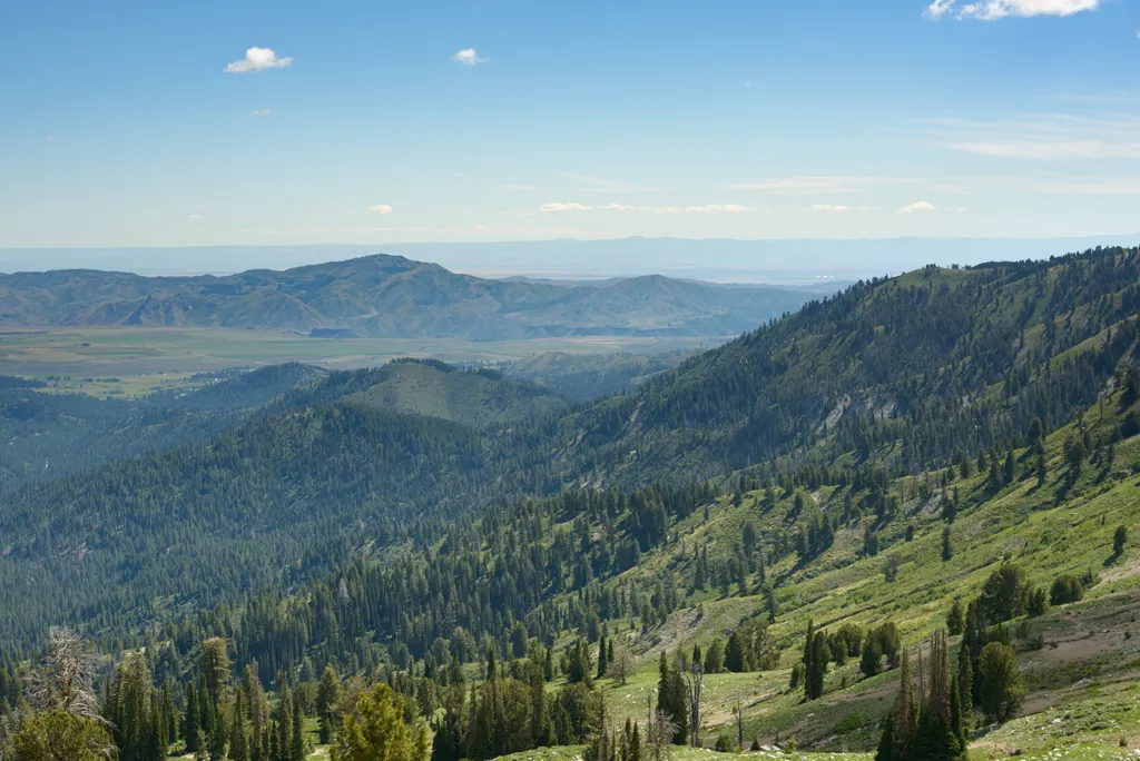
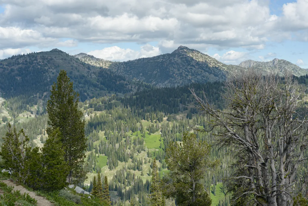
Smith Prairie and the Snake River Plain
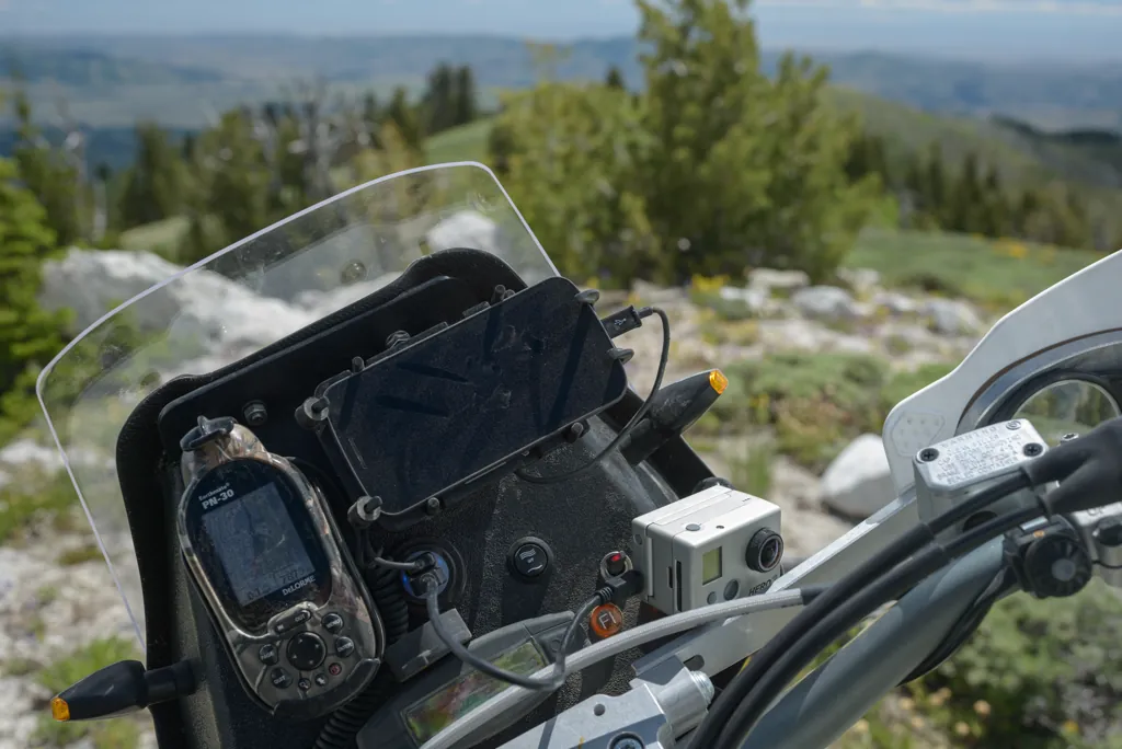
Another omen of war and doom is an inactive video camera, whether forgotten or powerless. There’s a nice scramble after leaving North Star to get to Smith Creek Lake. At my skill level, it’s just pray-and-hold-on, maybe make it. I felt rather pleased with myself when I got through the hardest bit but you won’t see it in the video because I’d forgotten to turn on the camera. The view from there to Smith Prairie and beyond was nice, though.
Nikon D800
Voigtländer Nokton 58mm ƒ1.4 SL II
ISO 100grain
1⁄1600 secondshutter_speed
ƒ4camera
-2⁄3 compensationiso
Adobe Lightroom 8.4.1
Trinity Lookout
Nikon D800
Voigtländer Nokton 58mm ƒ1.4 SL II
ISO 100grain
1⁄1000 secondshutter_speed
ƒ4camera
-4⁄3 compensationiso
Adobe Lightroom 8.4.1
Nikon D800
Voigtländer Nokton 58mm ƒ1.4 SL II
ISO 100grain
1⁄320 secondshutter_speed
ƒ4camera
-2⁄3 compensationiso
Adobe Lightroom 8.4.1
Smith Creek Lake
Smith Creek Lake would be called “pond” if it were near a house. I stopped to have a look and add some charge to the video camera but attacking bugs motivated me to hurry on.
Nikon D800
Voigtländer Nokton 58mm ƒ1.4 SL II
ISO 100grain
1⁄1000 secondshutter_speed
ƒ4camera
-4⁄3 compensationiso
Adobe Lightroom 8.4.1
Nikon D800
Voigtländer Nokton 58mm ƒ1.4 SL II
ISO 125grain
1⁄125 secondshutter_speed
ƒ4camera
-4⁄3 compensationiso
Adobe Lightroom 8.4.1
Fall Creek
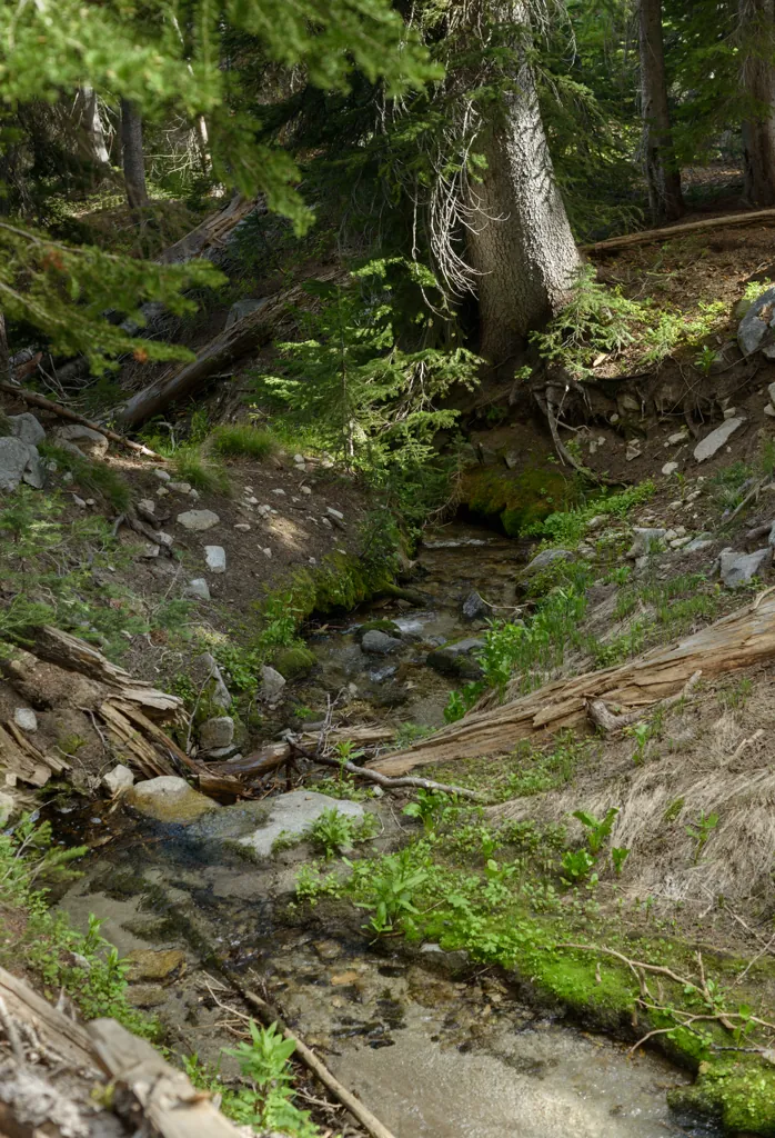
I had planned to turn left on the Sheep Creek Trail to see Rattlesnake Mountain, maybe return by Thorn Creek to Highway 21, but I overlooked the trail and, with my lower back and achilles both trying to kill me, decided it was just as well. I continued on Trail 125 toward Trinity Mountain Road which went into forest along Fall Creek for the last couple miles.
Nikon D800
Voigtländer Nokton 58mm ƒ1.4 SL II
ISO 100grain
1⁄500 secondshutter_speed
ƒ4camera
-4⁄3 compensationiso
Adobe Lightroom 8.4.1
Tree hopping
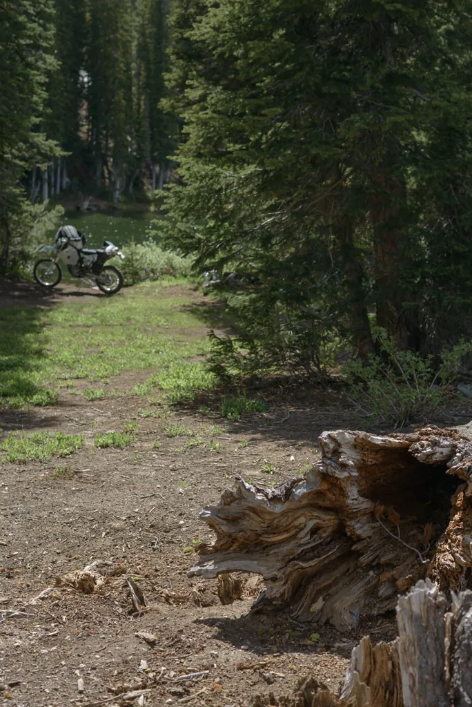
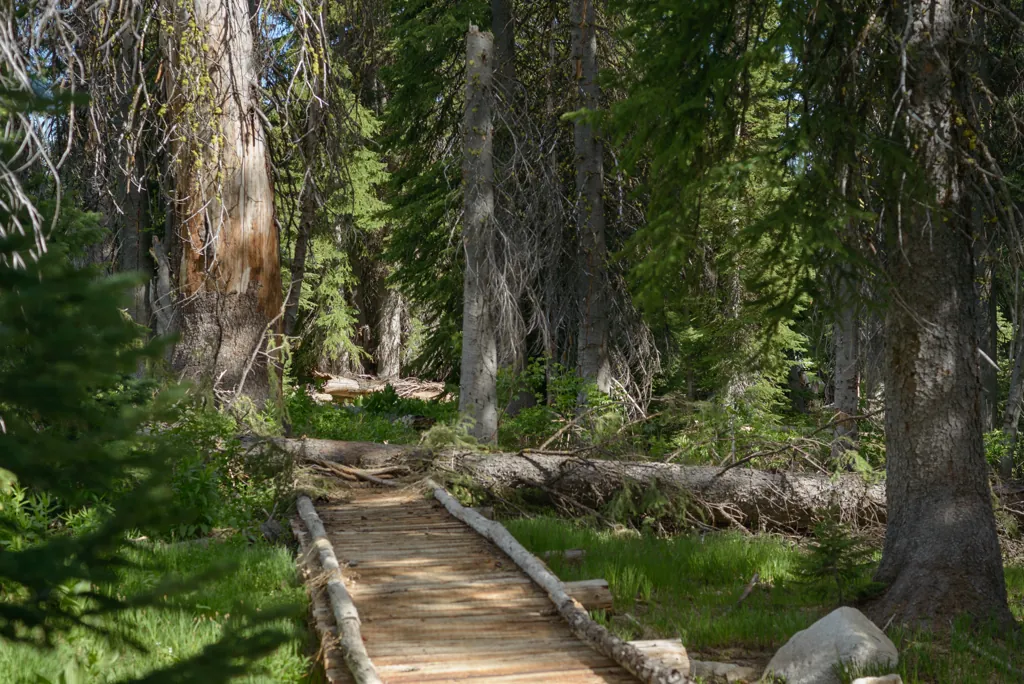
I should have expected some grief when the video camera battery died for the last time. The trail along Fall Creek is quite lovely — through large trees and many times across the creek. Except this time of year there were still patches of snow and dozens of down trees. Some trees were just a fun hop, like on this bridge, but others demanded sweating and muttering.
Nikon D800
Voigtländer Nokton 58mm ƒ1.4 SL II
ISO 100grain
1⁄1000 secondshutter_speed
ƒ4camera
-2 compensationiso
Adobe Lightroom 8.4.1
Adobe Photoshop CS5.1 Windows
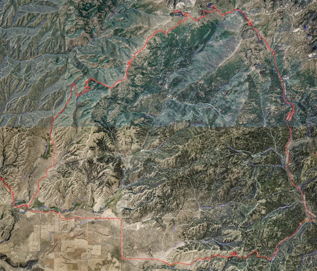
The route
Nikon D800
Voigtländer Nokton 58mm ƒ1.4 SL II
ISO 100grain
1⁄1600 secondshutter_speed
ƒ4camera
-1⁄3 compensationiso
Adobe Lightroom 8.4.1
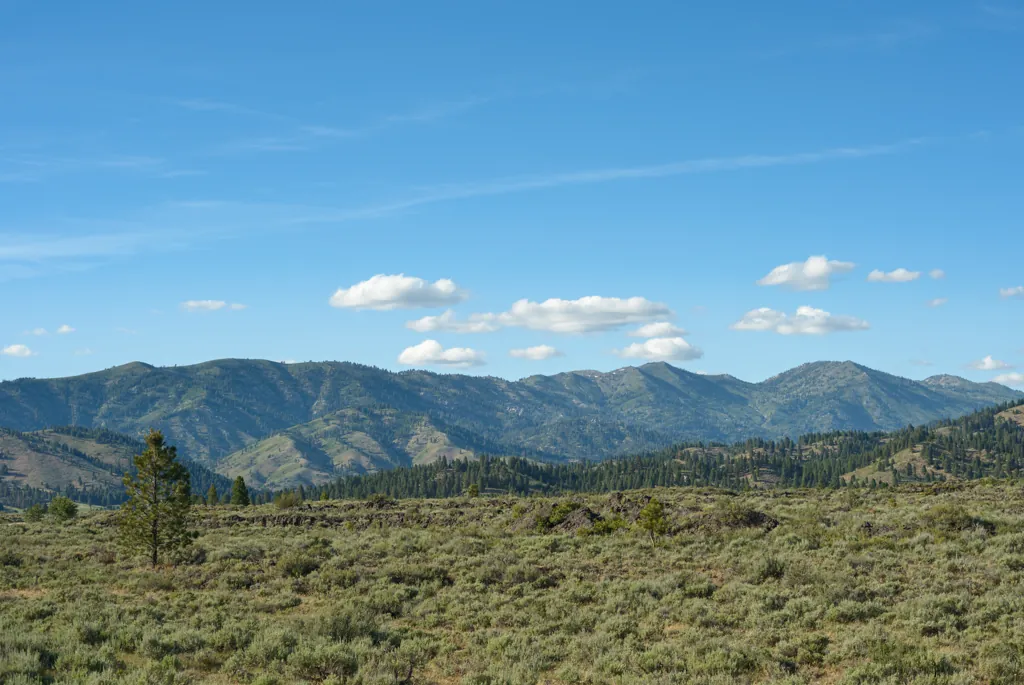
Once I hit Trinity Road and Smith Prairie it was full speed toward home with only a glance back at the mountains I’d enjoyed.
Nikon D800
Voigtländer Nokton 58mm ƒ1.4 SL II
ISO 100grain
1⁄500 secondshutter_speed
ƒ4camera
-1⁄3 compensationiso
Adobe Lightroom 8.4.1
Nikon D800
Voigtländer Nokton 58mm ƒ1.4 SL II
ISO 100grain
1⁄400 secondshutter_speed
ƒ4camera
-1⁄3 compensationiso
Adobe Lightroom 8.4.1
Nikon D800
Voigtländer Nokton 58mm ƒ1.4 SL II
ISO 100grain
1⁄2000 secondshutter_speed
ƒ4camera
-1 compensationiso
Adobe Lightroom 8.4.1
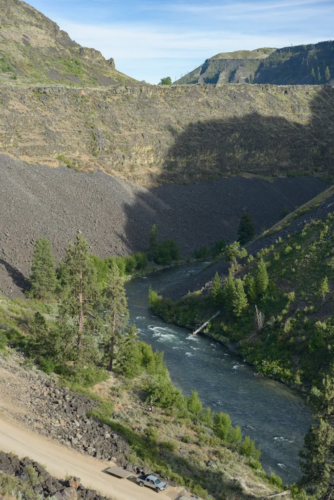
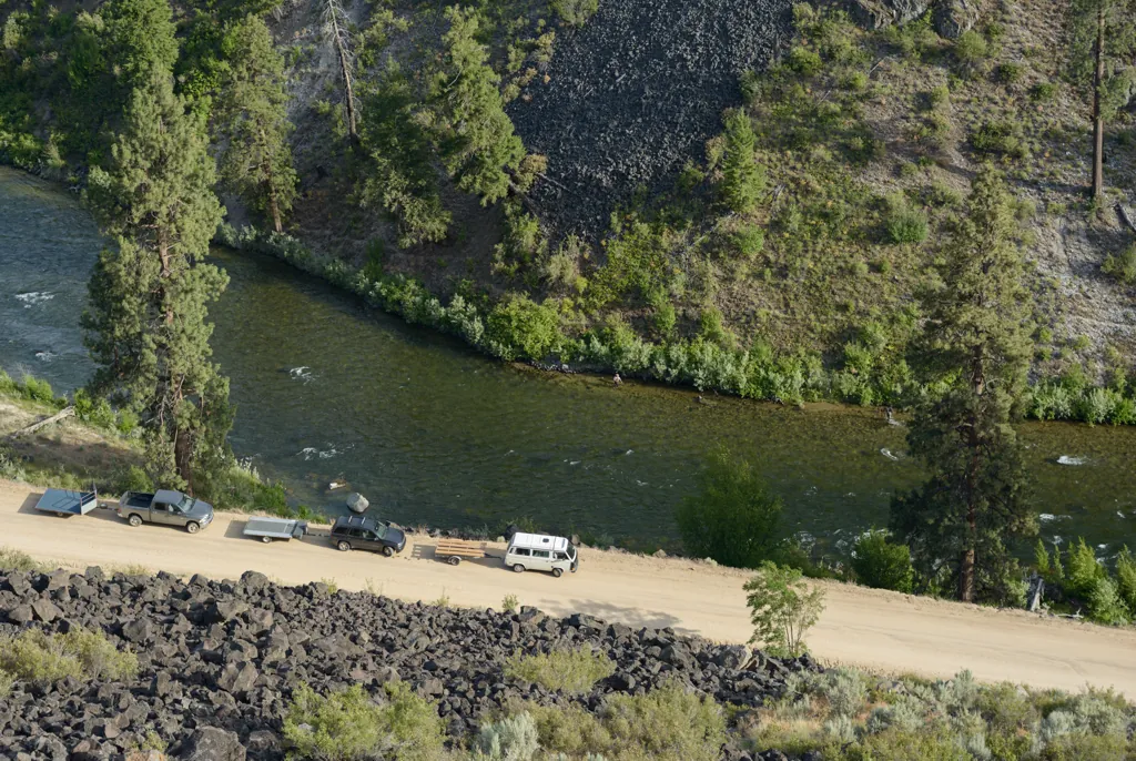
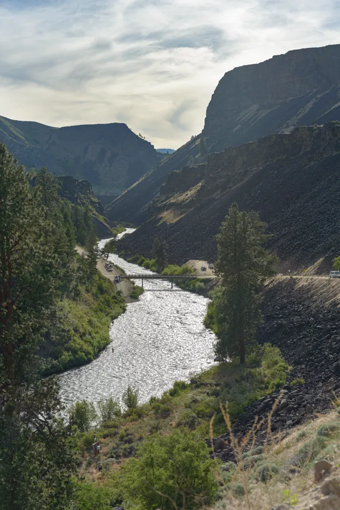
South Fork take-out
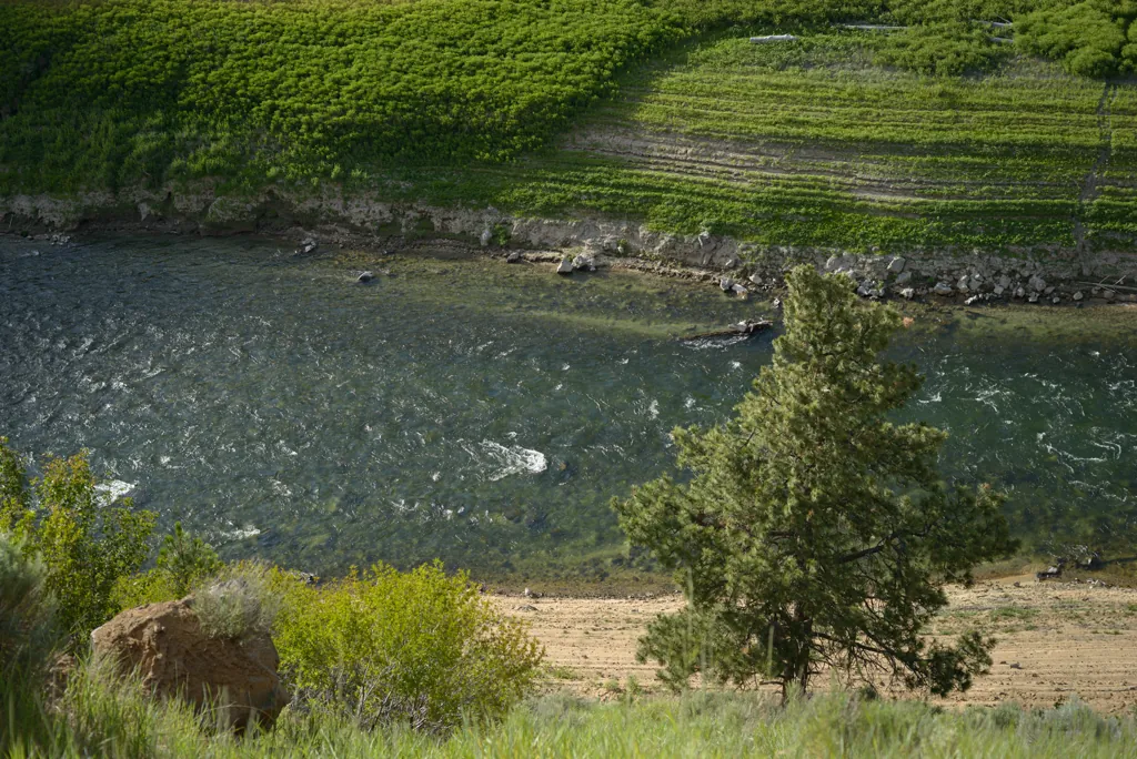
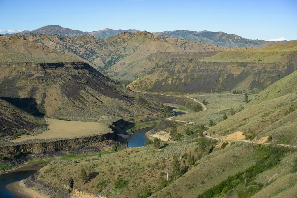
I followed the South Fork rafting route last year.¹ It looked like a nice, low-key place to float.
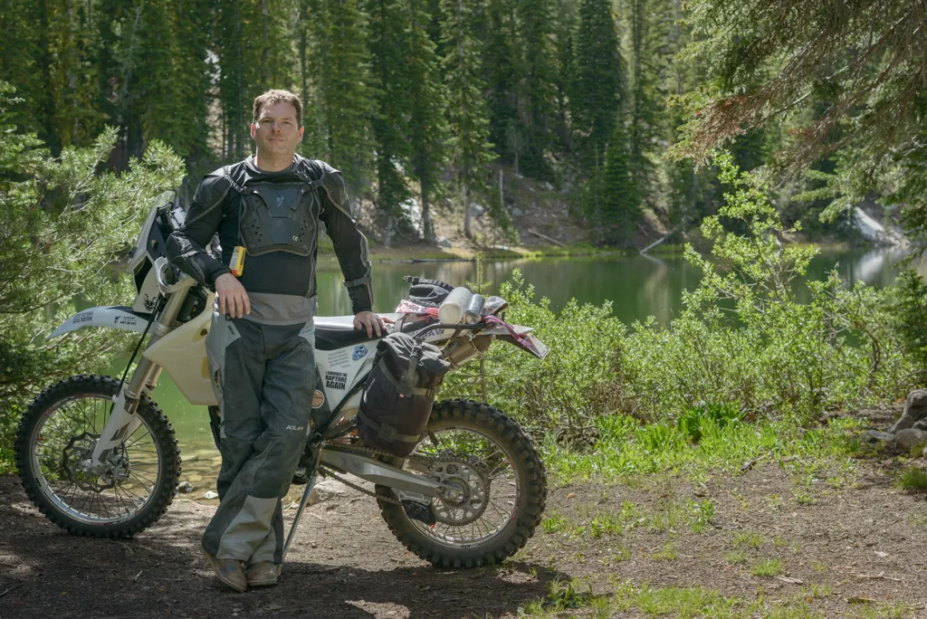
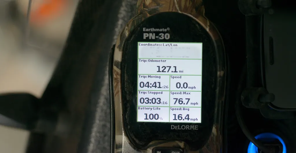
The XC-W made a nice all-day ride. The tank had plenty of fuel to spare. Some of what I rode would have been impassable on the GS of yesteryear. I’m ready to go again as soon as I heal up!