Trails Around Deadwood
I am led by some guy I haven’t met before, Michael, down hours of mountain single track around Deadwood Reservoir. We start up to Bogus, through Placerville and Crouch before hitting narrow mountain trails I’d never ridden before — adventure as usual.

Morning haze
Beyond Bogus Basin where the road turns to dirt along the way to Harris Creek Summit we passed small packs of teens huffing and puffing up hills, hearts or Skullcandy thundering too loudly to always hear our approach.
I was tailing Michael (obrianmcc on advrider.com) on a day loop across several single track trails around Deadwood Reservoir. We met for the first time that morning.

Michael led us off the road to a point overlooking a large swath of the Boise National Forest. Fog like fjords marked the valleys and gulches where golden hopes once played out a century ago.

Star Ranch view
Jess and I spent time looking around the historic Star Ranch last time we rode through,¹ home to a German couple who in the late 1800s “built a thriving enterprise with a hotel, saloon, a dance hall with living quarters in back, stables, a sawmill across the creek and a horse racing track, which attracted travelers, boarders, miners and ranchers”² — surprising for such a remote area. This time I only stopped a moment for the beautiful scene the family must have witnessed many times.
- Trail Image “Wintry Backroads to Lowman”: http://trailimage.com/wintry-backroads-to-lowman#17
- On-site signage.

Pause in Placerville
Sometimes Placerville is bustling with visitors but today, other than a passing truck, the town seemed empty. With a long haul ahead, we weren’t looking to stop anyway.

Low clouds above Crouch

Crouch suburbs
Old farmhouses around Crouch remind me of the countryside where I grew up.¹ I imagine darkened shed corners probed for dusty treasures by kids who know the best way up every tree.
- Trail Image, “Troy Days and Moscow Mountain”: http://trailimage.com/troy-days-and-moscow-mountain

Over the Payette

Doogle?
The 1967 London Routemaster bus outside of tiny Crouch, Idaho seemed misplaced. Apparently it’s “Doogle the Wonder Bus,” reported host to The Beatles, Queen and other luminaries.¹ You never know what you’ll run into on a ride.
- Doogle the Wonder Bus: http://wonderdoogle.weebly.com/; also on Facebook: https://facebook.com/doogle9

North from Silver Creek Road
We followed the Middle Fork of the Payette up to Silver Creek where we turned past Silver Springs to the Peace Creek trailhead.

Peace Creek Trailhead

Peace Creek

A thousand cuts
While stopped a moment at Silver Springs Campground we chatted with a Forest Service employee who described hundreds of trees cut from Peace Creek Trail in the last year. It seemed an incredible number until we saw it for ourselves.

Denuded hills
Decades of fires have created mountains of charred trees, black stubble across land pockmarked by ensuing erosion. “A staggering 69% of the Payette National Forest has been impacted by fire since 1985, and over 50% of the Boise National Forest has been affected.”¹ Many of these areas aren’t likely to look like forests again during our lives.
- Idaho Conservation League, “Lessons for Community Safety and Forest Restoration: An Analysis of Idaho’s 2012 Fire Season,” p. 13: http://idahoconservation.org/…/file


Washed away
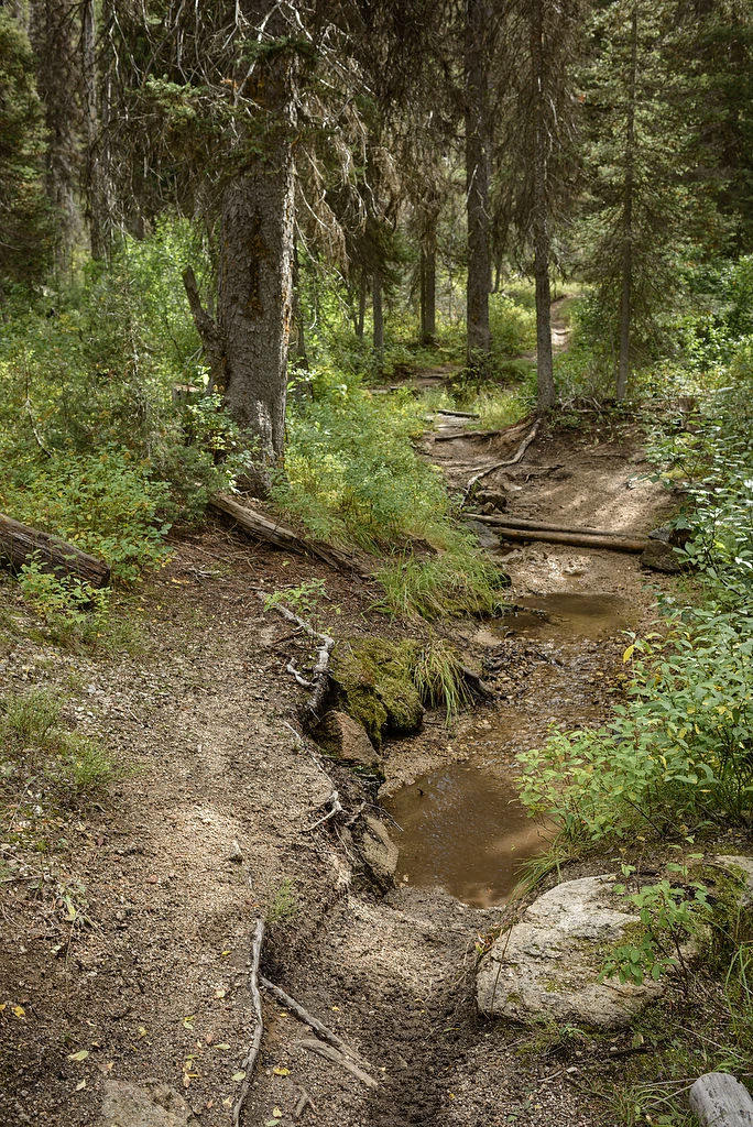
The upper end of Peace Creek Trail switched back-and-forth across rivulets over small wooden bridges. One was washed out, replaced with a small gorge that seemed eager to swallow motorcycles.

Aftermath

Divide
I paused a moment at the 7,300 foot ridge to figure out where Michael had gone. I saw a faint trail heading off across the ridge but that didn’t seem right. I had to look closely to notice the small sand berm across rock to the right marking the lower edge of the main trail.

Tranquil Basin
Crossing the ridge to a different watershed put us on Habit Creek instead of Peace Creek Trail — the same dirt path, really, just two names. Michael said he’d never seen anything but green in the Tranquil Basin meadow below. Apparently the unusually hot summer has been felt here too.

Deadwood Reservoir
From Tranquil Basin we turned toward Deadwood Reservoir where we would have a short lunch break before heading downriver. There were a couple small trees across the trail from the night’s winds but nothing that slowed us down.

Flaking face
The reservoir was created by a small dam built in 1930. The dam was looking its age.

Building the dam
Deadwood Reservoir was created as part of the Boise Project which includes canals and seven dams used to irrigate farmland across southwest Idaho and eastern Oregon.¹ The site’s distance from the nearest railway across rugged mountains required major road building before dam work could begin.²
- 1930 image ID-A-0288 from WaterArchives.org
- Bureau of Reclamation, “Boise Project”: http://usbr.gov/…/Project.jsp
- Simmons, William Joe, Bureau of Reclamation History Program, “Boise Project,” p. 28.

Concrete forms
Special trucks, rigs and procedures were created to ensure a steady flow of cement and keep the aggressive construction schedule on track. “So tight was the schedule that during the period of peak concrete placement in the dam, the last sack of cement at the dam would be used just as a new load was arriving.”¹
- August 16, 1930 image ID-A-0289 from WaterArchives.org
- Simmons, William Joe, Bureau of Reclamation History Program, “Boise Project,” p. 29.

Boise Project
Michael and I stopped and walked midway on the dam (I was surprised we still could) to work out middle-aged kinks and calorie-up. A breeze came across the water as clouds billowed overhead — a pretty great day to be just where we were.

Walk along the top

Jut

Outflow

Along the Deadwood River
We began the second half of our loop on single track along the Deadwood River and up Warm Springs Creek.

Harvey Olberding’s favorite place
Michael stopped along a low ridge of massive, exposed rock to point out a memorial to Harvey Olberding. The rocks above provide a view across Whitehawk Basin, an understandable favorite.

Watch for nails

Whitehawk Basin

Pressure check
A bit of Oregon


Intersection
We stopped for a breather at the intersection with Julie Creek Trail. Michael described it and other trails as we passed them but it wasn’t until I could look at our GPS tracks that I had a good mental map. It was nice trusting the route to someone else. From there we would continue along Deadwood Ridge.


East Fork Stevens Creek


Deadwood Ridge

Survivors
By the end of Deadwood Ridge we’d been riding for about eight hours. I loved the trails but was glad to be pointed toward home.

Rock Creek Road overlook
We emerged from Deadwood for a short stint on the highway before turning off to Rock Creek Road near Lowman. We thought we might stay on forest roads as far as Idaho City but waning light and threatening clouds inspired a return to the highway.

Highway 21

Gehenna

We endured a little cloudburst atop Mores Creek Summit but were dry by the time we reached Idaho City. Michael said he was thinking of how to get his coat on while riding as the rain hit but we were through it before any solution was found. It was refreshing.

Lights on

Aldape Summit view
Rather than highway all the way home we turned off at Robie Creek and took Rocky Canyon Road over Aldape Summit. A low sun was breaking through thick clouds above Boise. They’d had the same showers we did on Mores Creek Summit.

Home for dinner

The route
I changed my oil the night before this ride. If I follow the KTM 500 manual, I’m now due to change it again. Michael, who had a little farther to go, logged almost twelve hours. It was a long day but great to see so many new areas. I saw several I want to explore further. Thanks Michael.