Alone in the Owhyees
Eager for a spring ride, I flew around in Google Earth and found a day-long route with highlights along the Owyhee Uplands Back Country Byway — an ancient shoreline, waterfall and big canyons.
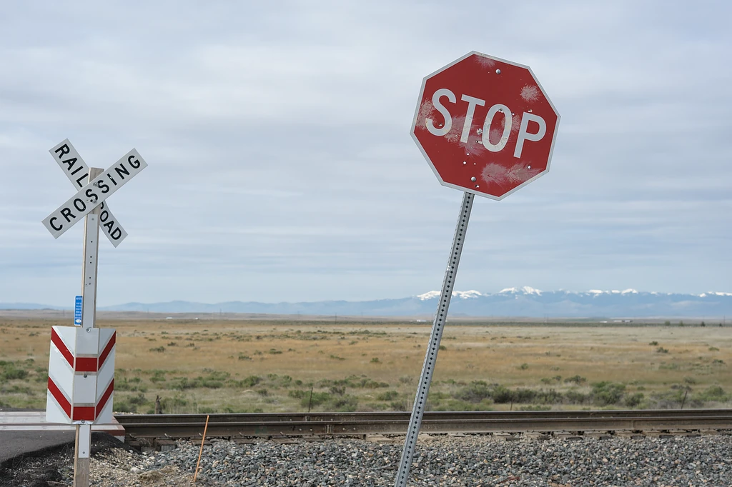
Sign of the cross
Completed winter motorcycle maintenance and a new Jeep in the garage needing its own trails made me restless for exploration. Snow likely remained in the mountains to the north so I flew around in Google Earth looking for interesting country to the south.
I came up with Camel Falls and Three Forks, got permission from family, let the GPS software plot a route based on the Owyhee Uplands Back Country Byway¹ and hit the road Saturday morning.

The ladies’ line is always longer
Never a fan of the Interstate to Mountain Home, I cut across the military range toward Grand View. There I found PETA¹ had been unexpectedly active, providing cows with their own latrines.

Unexploded ordnance
What looks drab can become quickly exciting.
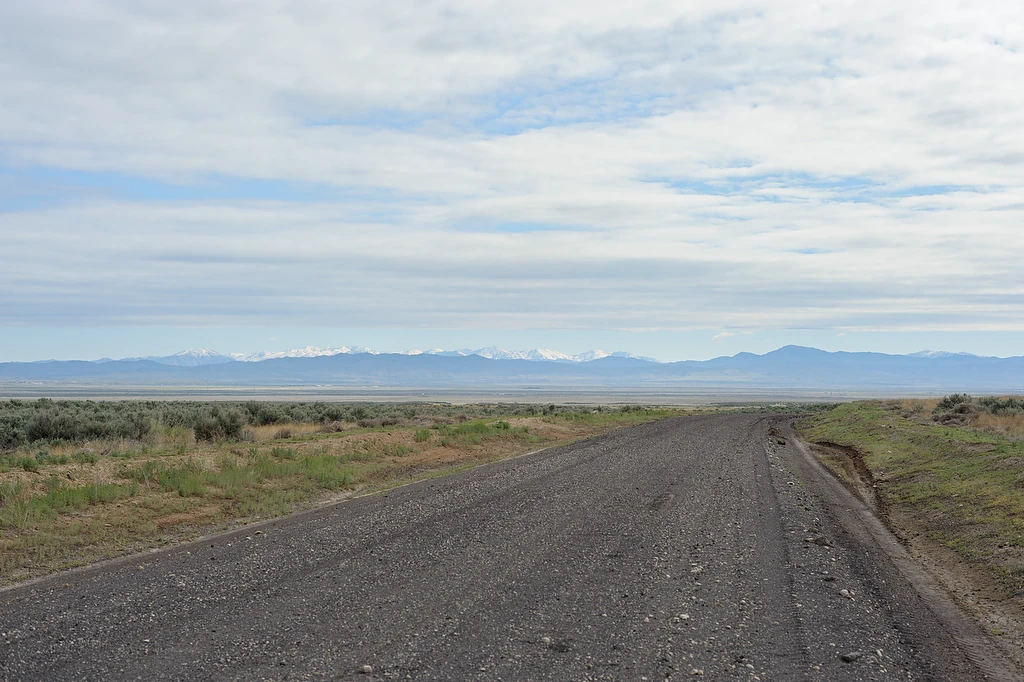
Road on the range
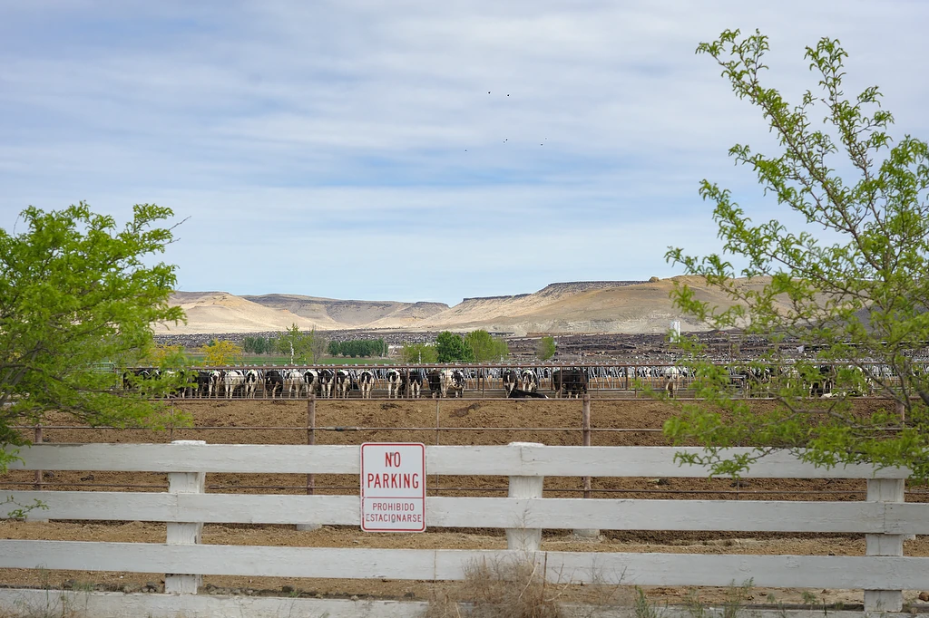
All beef paddocks
With a capacity of 150,000 animals, Grand View is the largest feedlot in the world. It may smell for miles and sometimes pollute the Snake River¹ but at least these cattle are kept from poisoning creeks with fecal bacteria and trampling their banks.²
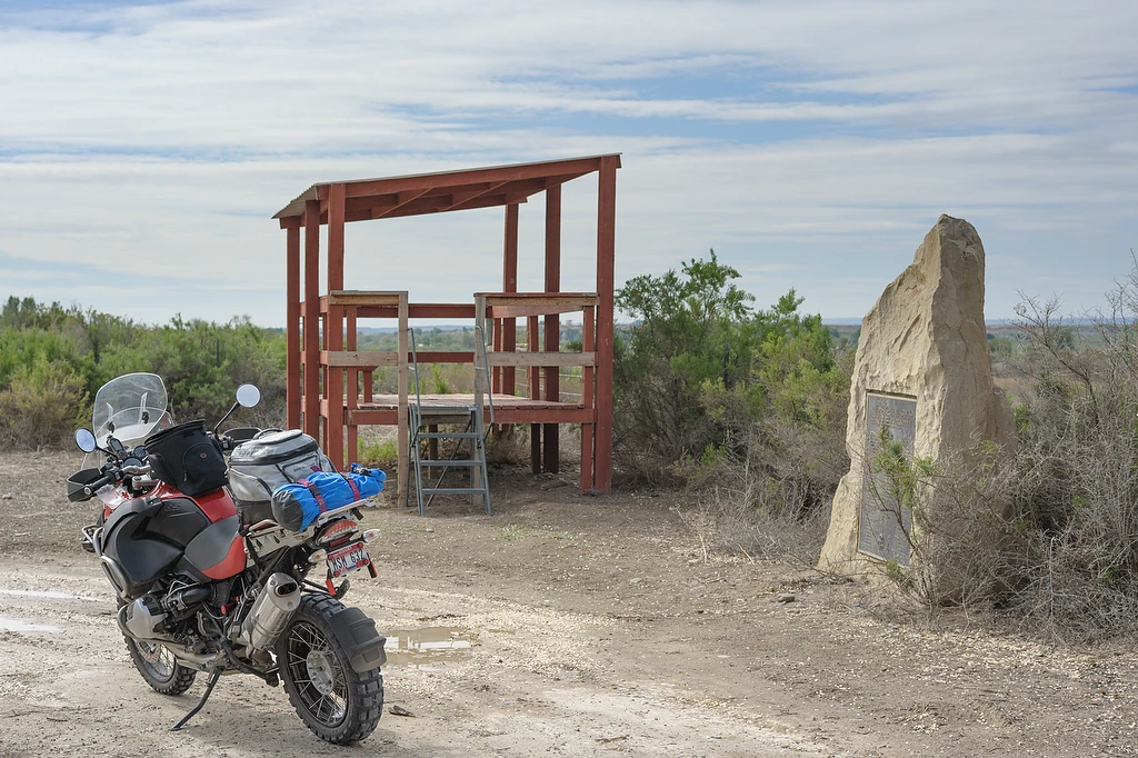
Trueblood Wildlife Area
I had noticed this wildlife area¹ along the highway before but never taken the time to stop. At other times I understand it bustles with birds and shooters of guns and cameras. Today it was just me.

Ted Trueblood pond
Part of the C. J. Strike Wildlife Management Area, the Ted Trueblood Wildlife Area has expanded considerably since its 1987 dedication. The ponds are spring-fed, so they always have water and remain rich in wildlife … It’s a great upland and waterfowl hunting area and photographers visit often.¹
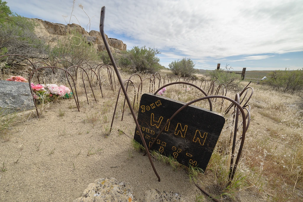
Dear John
I stopped to stretch my legs and check-in with Jessica at the Grand View gas station. While inside I overheard another customer asking the attendant for directions to the ancient shoreline. Her and other locals inside hadn’t heard of it so I offered directions to the landmark¹ a few miles south of town. I would never have known of it either except for the comments of a co-worker a few years back.
My day’s route took me along that same shoreline. The Shoofly pioneer cemetery² under the ancient oolite is always worth a stop to look around.
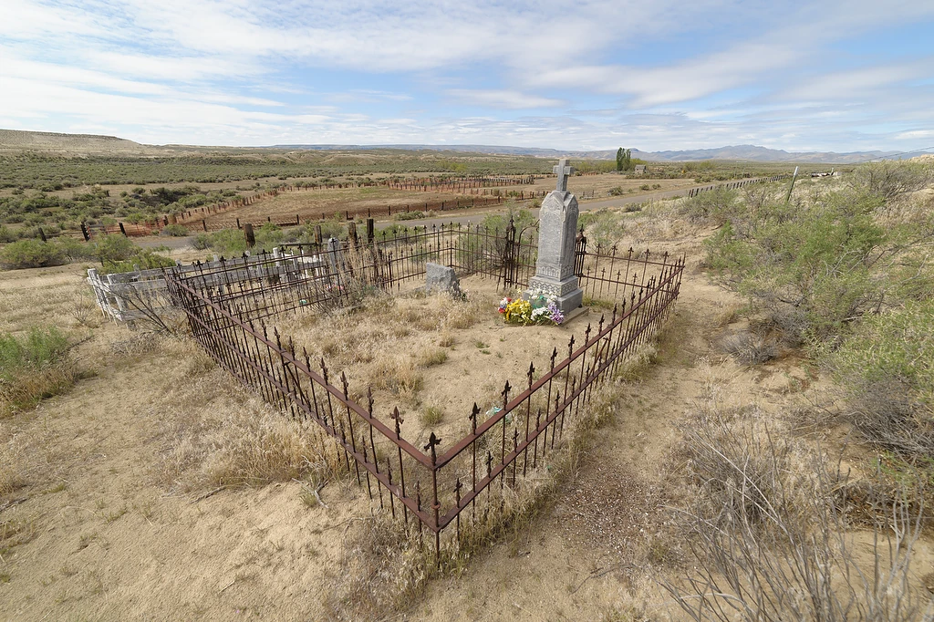
Iron perimeter
Across from the cemetery is what remains of the Turmes Ranch,¹ a way station for gold seekers and others entering Idaho by wagon from the south.

Tenacious plants
Weathered sand from the shoreline of ancient Lake Idaho is transformed into whimsical shapes above the pioneer cemetery.¹ I feel like a kid when I get the chance to walk around and explore the odd landscape.

Tunnels in the rock
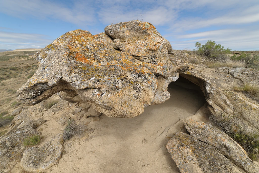
Pareidolia
Seeing the Virgin Mary in a slice of toast,¹ an elephant in the clouds, a lion in the stars² or hope for the Republican ticket — I know there’s a word for it.³

Oolite colonnade

Doyle and Toy Mountains
After a short tromp around the oolite, I continued along the byway. There’s a small rest area on the side of the road as it begins climbing to the uplands. I slowed and pulled in to have a look — a few picnic tables under trees and an outhouse along the creek¹ — but didn’t stop until I was up on the steppe.

Not built for bumps
I found Camel Falls by flying around in Google Earth looking for interesting formations, particularly those with geotagged photos,¹ near my route. I couldn’t find a clear trail to the falls so I pointed the right direction and headed overland. It was really bumpy — rather a pain on the pig.
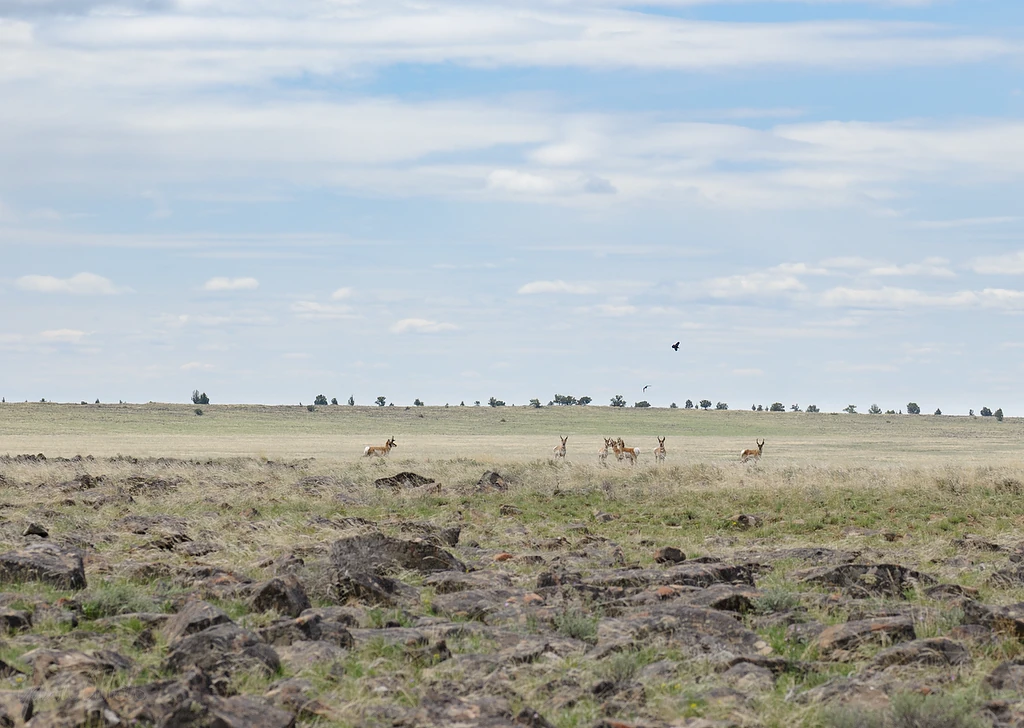
Bullied by birds

Camel Falls preview
I couldn’t get all the way to the falls on the big bike. Maybe if I wanted to fight it but with increasingly large rocks, it finally became easier to walk the last mile or two.

Puddles
I expected a full spring creek but found only stagnant pools.

Turn back
A voice in my head reminded me that I’d left the emergency locator beacon with my jacket back at the bike. Drat. If I’m going to have one at all I guess I should carry it when I hike by myself around waterfalls.
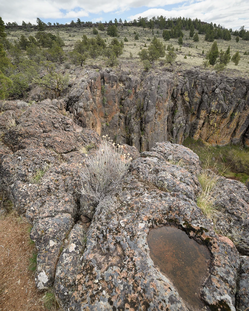
Suddenly I'm here
I hadn’t been able to recognize the falls as I approached from the bench above. I knew the general direction but was surprised when suddenly they were at my feet.

The cows missed one

Camel Falls creek
I circled around for the view from above the falls.

Water skippers brave the falls
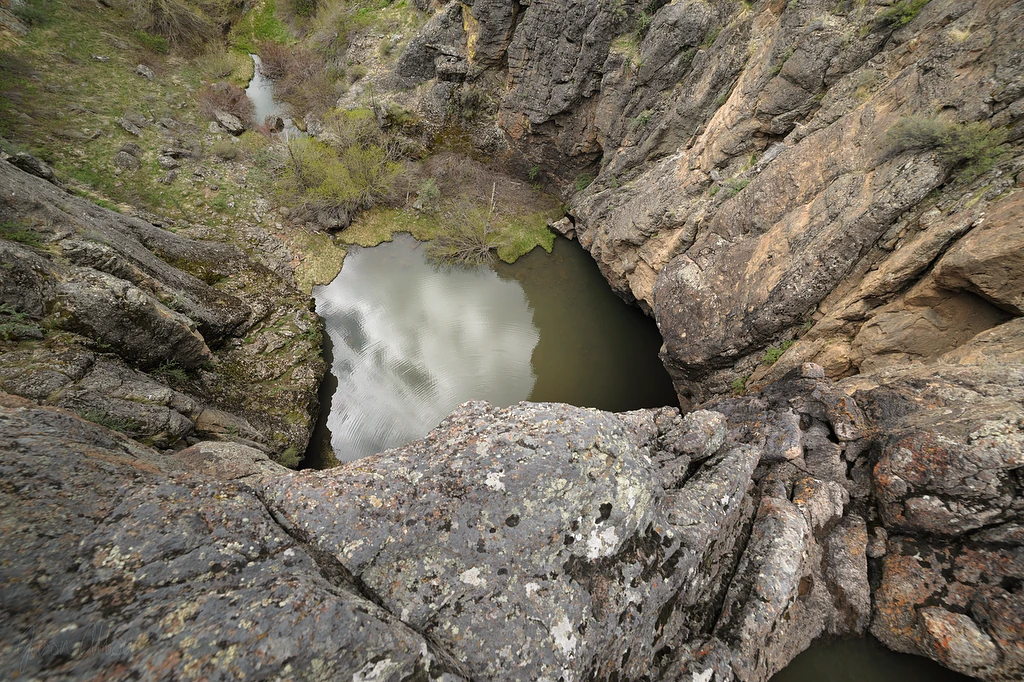
A look over the edge

Box canyon view

Speckled hen

Make your own way
I scrambled down the edge and picked a way across the water.
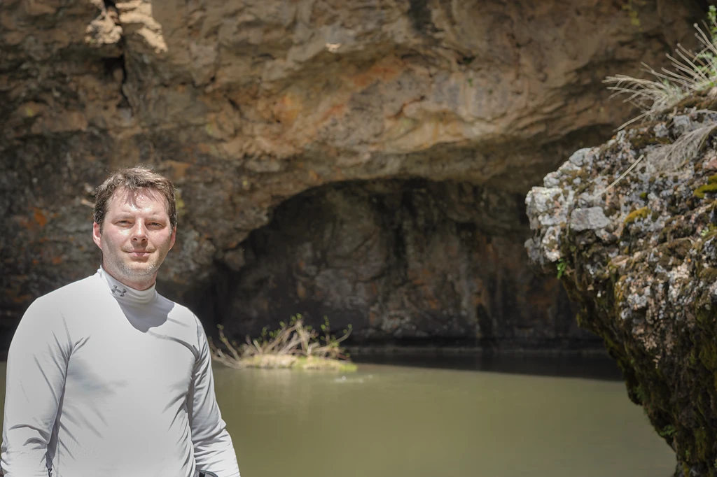
No swimming today

Ripples on the wall
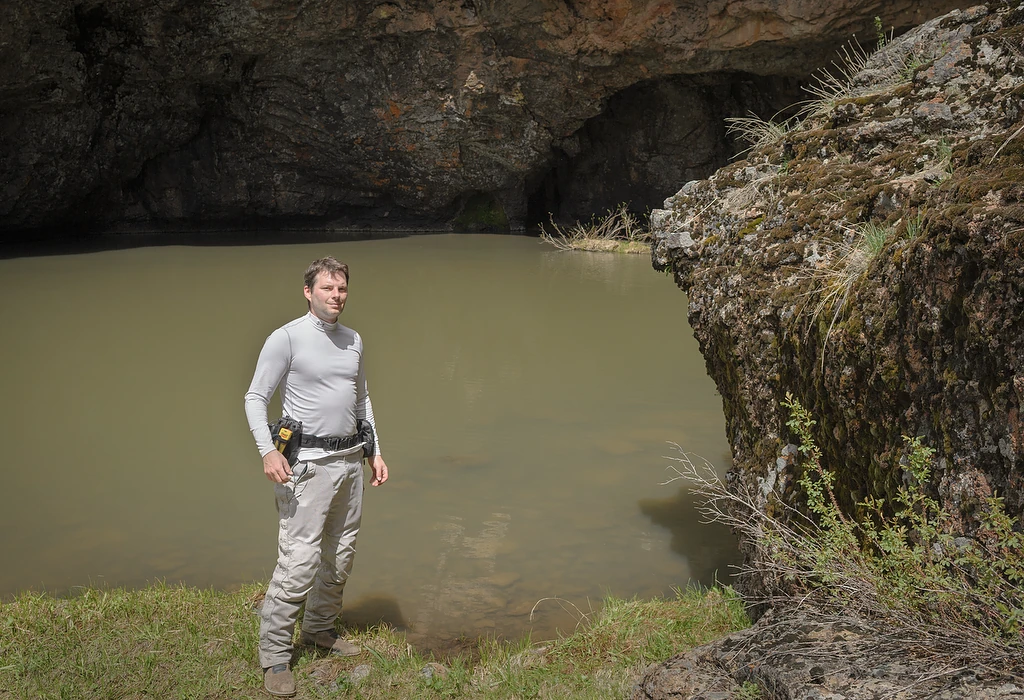
See, I have the PLB
I scrambled down the edge and picked a way across the water.

Hang on the best you can
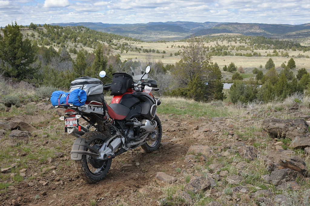
On to the next thing
On my way back to the road I saw I’d been behind a wilderness sign. The next Camel Fills visit will be a longer hike.
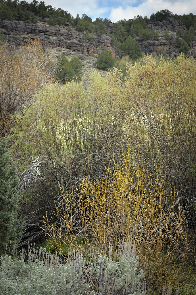
Stoneman Creek colors
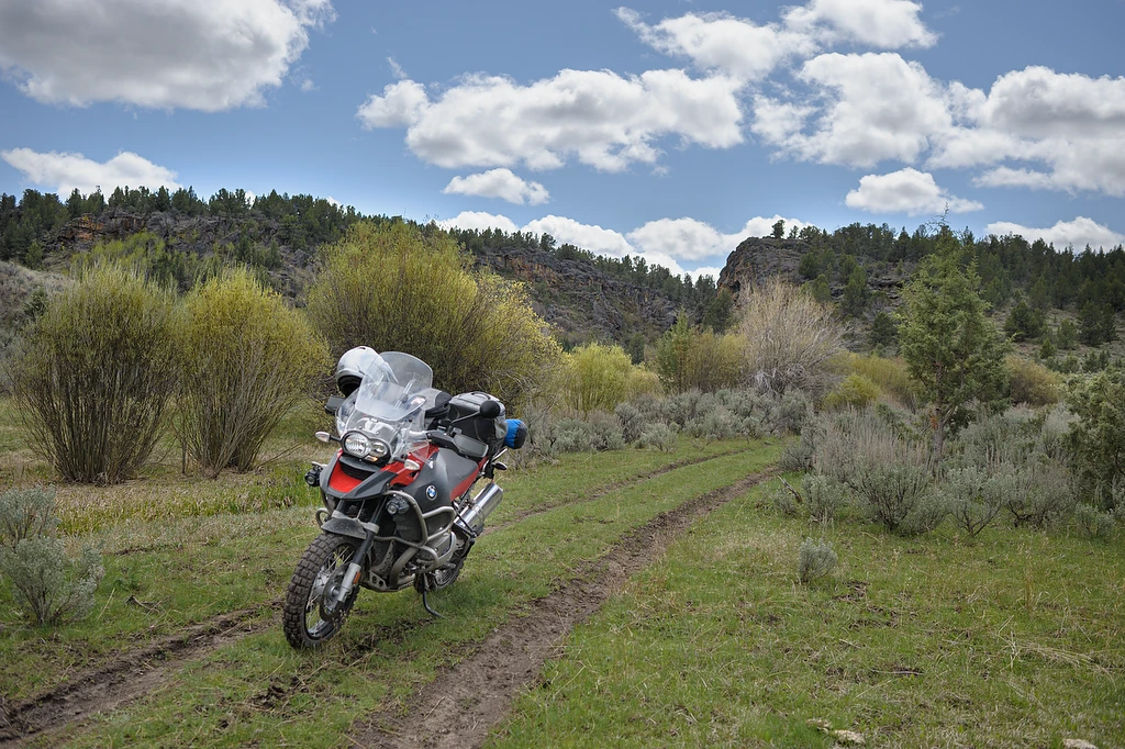
Brief diversion
Tracks like this make me curious. They went a short distance across Stoneman Creek to this pretty area boxed in by orange walls.
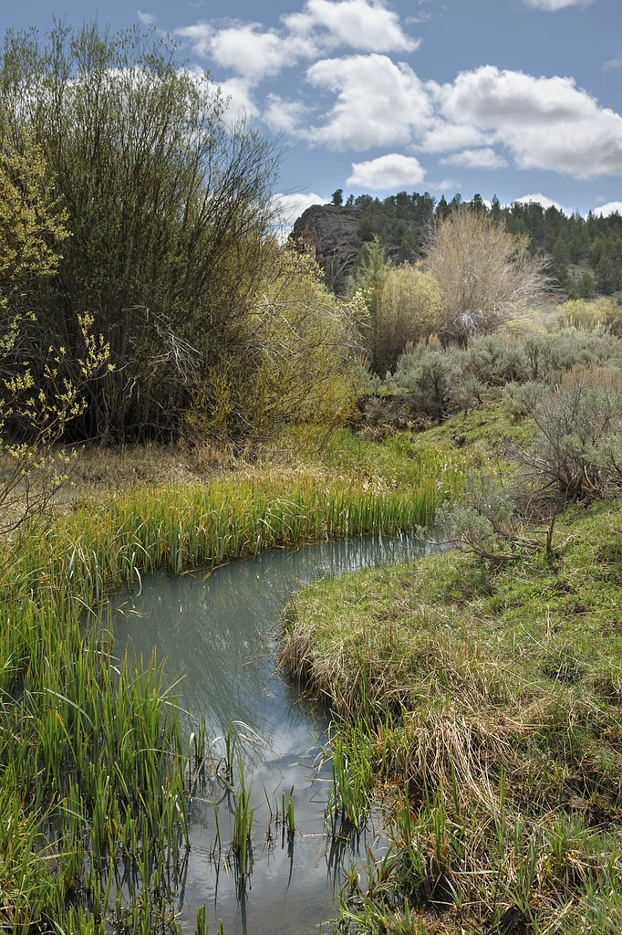
Subtle meander

Serrated edges
The land opens up as you follow the byway west.
The most direct route from the Owyhee Uplands Scenic Byway to my next stop, Three Forks, is a fairly straight twelve miles past the Circle Bar Ranch.¹ Almost as soon as I turned off Juniper Mountain Road, though, I was confronted with a “private property” sign saying permission was required to continue.
The alternative is to circle some ways north then back down, about 28 miles.² The shortcut would save a lot of time. I rode up to the compound behind the gate and waited for a ranch hand to fetch the owner.
The lady who emerged was gracious and glad to let me through but warned me about the next owner I’d have to get through. “You’ll have to ask him for permission. Watch out for his dogs. They’re mean. I hate them. I hope they don’t bite you.”
I watched her face but saw no humor. I decided avoiding whatever hassle that might be was worth an extra sixteen miles. I thanked her and headed north.
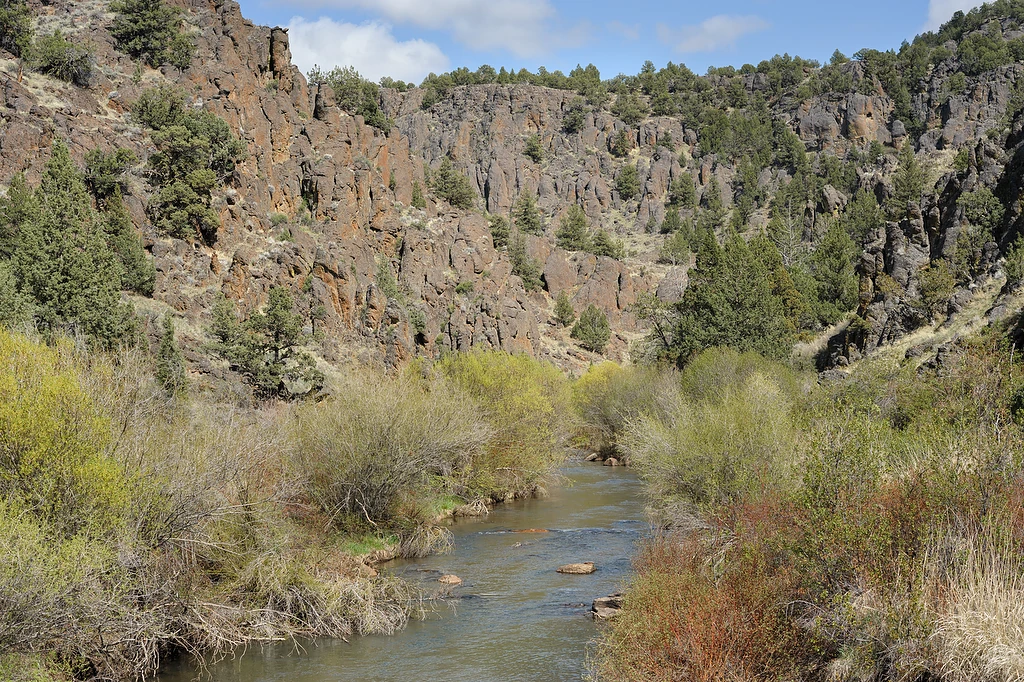
West Fork of the Owyhee
Two couples at the small campground along the West Fork of the Owyhee motioned me over as I approached. They had UTVs and were curious about the GS. We chatted a bit.
They had been to Three Forks so I asked, “is it muddy?” In spite of being a pig, mud is no friend to the GS.
Nope, they answered, but they warned I had a ways to go yet. Well shucks, no problem, I’m happy to twist the throttle a bit farther.
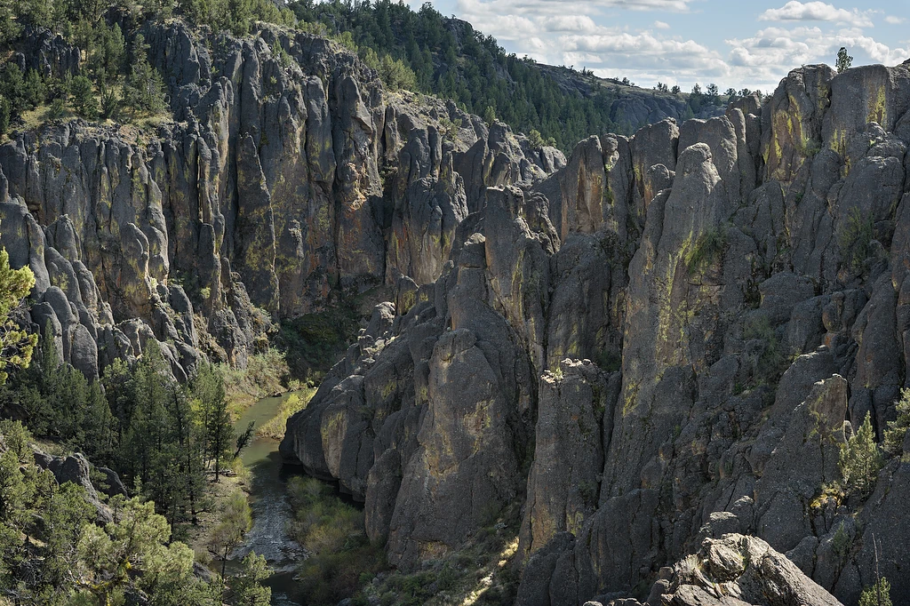
Soft edges
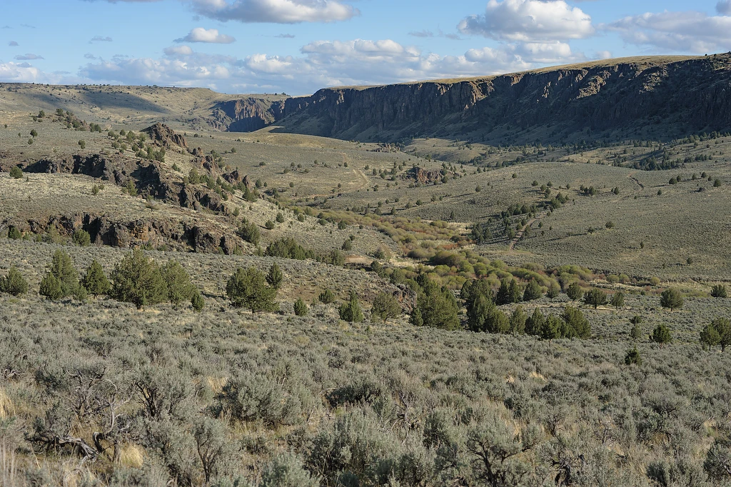
Three Forks area
I rode hard to arrive with enough daylight at the Three Forks recreation area.
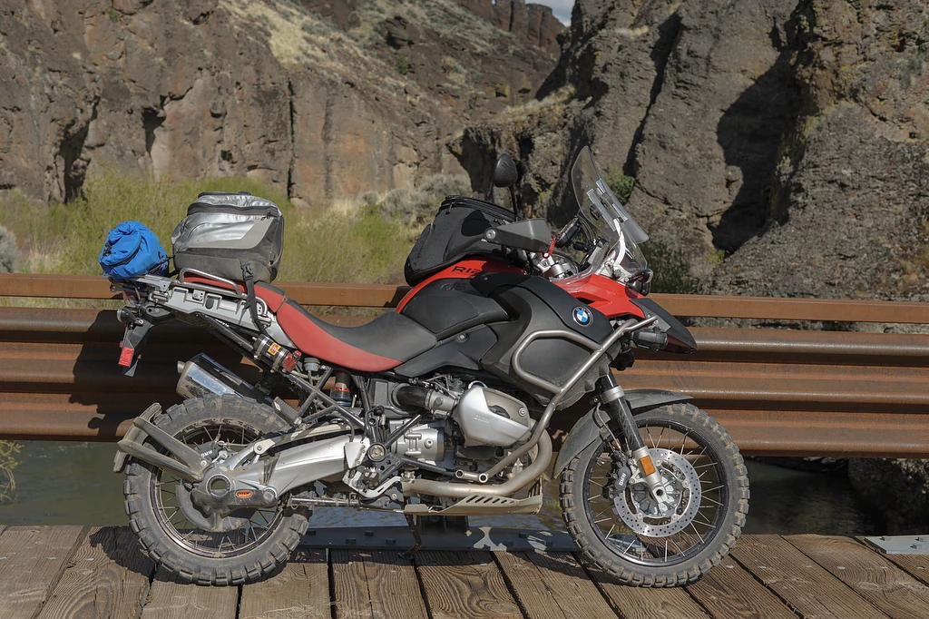
Fancy bridge
This bridge seemed out of place¹ for these remote, little used roads.²
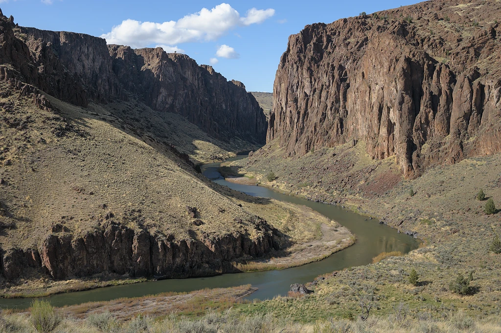
Orange cliffs above the Owyhee
The afternoon of May 27, 1866, a force of white infantry and cavalry encountered a band of about 500 ‘Snake’ (Shoshone-Bannock-Paiute) Indians at the Three Forks of the Owyhee River. Major Louis H. Marshall had led the U. S. Army Regular infantry out of Boise Barracks in an attempt to ‘pacify’ the tribes. Indian attacks on outlying ranches and passing stagecoaches had intensified as prospectors and ranchers poured into the Owyhee area.
At Three Forks, the river twists through an 800-foot canyon, where the walls are practically vertical in places. The soldiers had to clamber over loose rocks and through shifting gravel in their descent along a ravine. Heavily outnumbered (about 85 versus 250–300 warriors), they deployed along the west bank and began exchanging fire across the river.
Marshall finally realized the futility of trying to attack a superior force in such rugged country. He later wrote that ‘Ten men can hold a hundred in check and prevent their ascent.’¹
- South Fork Companion: http://sfcompanion.blogspot.com/…/may-27-battle-of-three-forks.html
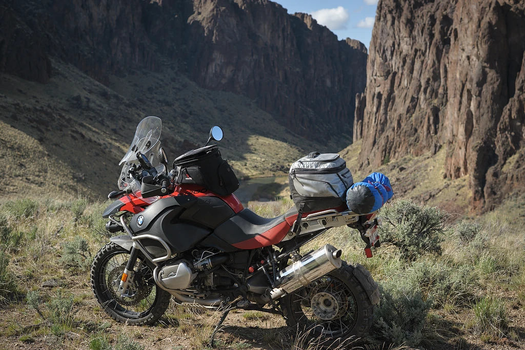
No one around

Not any more
The main reason to come this far was to see if it would be a nice destination for the family. I’d seen a couple nice reports¹ of camping at the hot springs but things have changed in the last few years. “The Owyhee River Wilderness was created by the Omnibus Public Land Management Act of 2009 and signed into law by President Barack Obama on March 30, 2009.” Created in the act “were five additional southwestern Idaho wilderness areas in Owyhee County, collectively known as the Owyhee Canyonlands Wilderness Areas.”²
The old river crossing is only about twenty yards inside the wilderness boundary. No way to claim ignorance with signage like this, though.
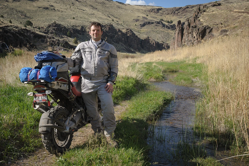
Last stop of a long day
Heated water poured out of the rocks on this and the other side of the river.
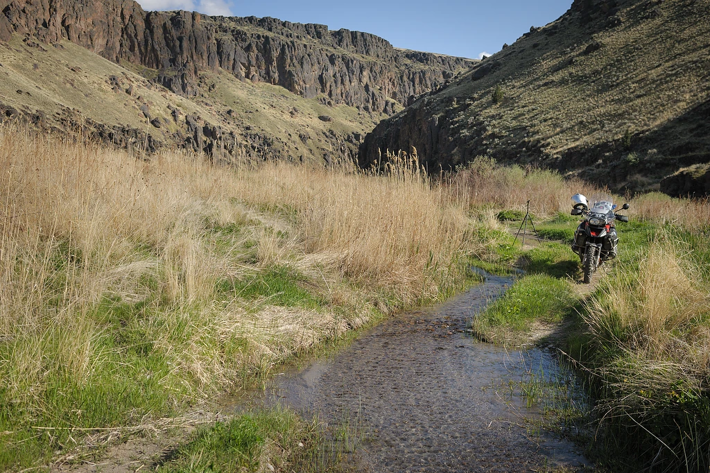
Alongside a hot creek

Warm pools above the river
Since you can no longer get to the river crossing I guess we’d bring one of the inflatable rafts to get over.
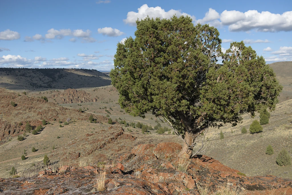
One of the high places
After checking out the hot springs I followed some of the rougher roads to see where they might lead.
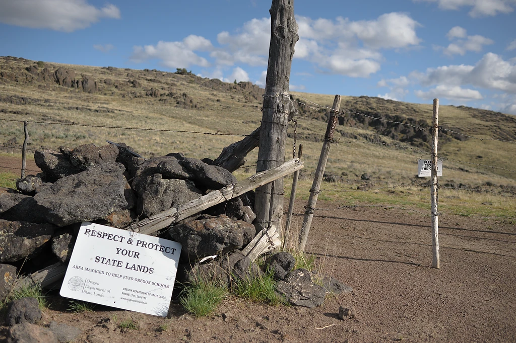
For the children

Where the rivers meet
I got up to the road that I wanted to shortcut across and took in the big view before turning back.
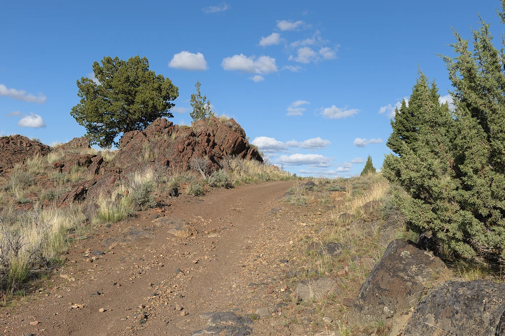
I don't mind riding alone

Clean the rims
Imagine, if you will, a twenty second timer on the camera and me jumping back across the creek as fast as I could to lurch ahead on the already running motorcycle.

Owyhee Overlook
With a sign and everything.
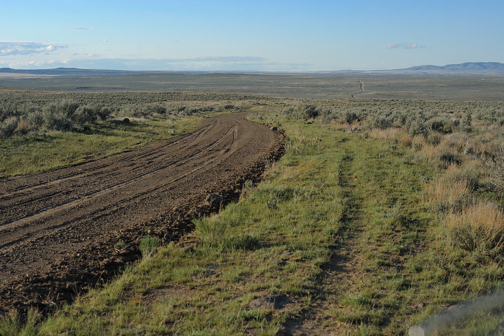
Am I there yet?
Thirty-two miles of this. Most was speedy but then I’d suddenly be in an exciting muddy patch. And cows. Lots of cows.

Speed up, slow down
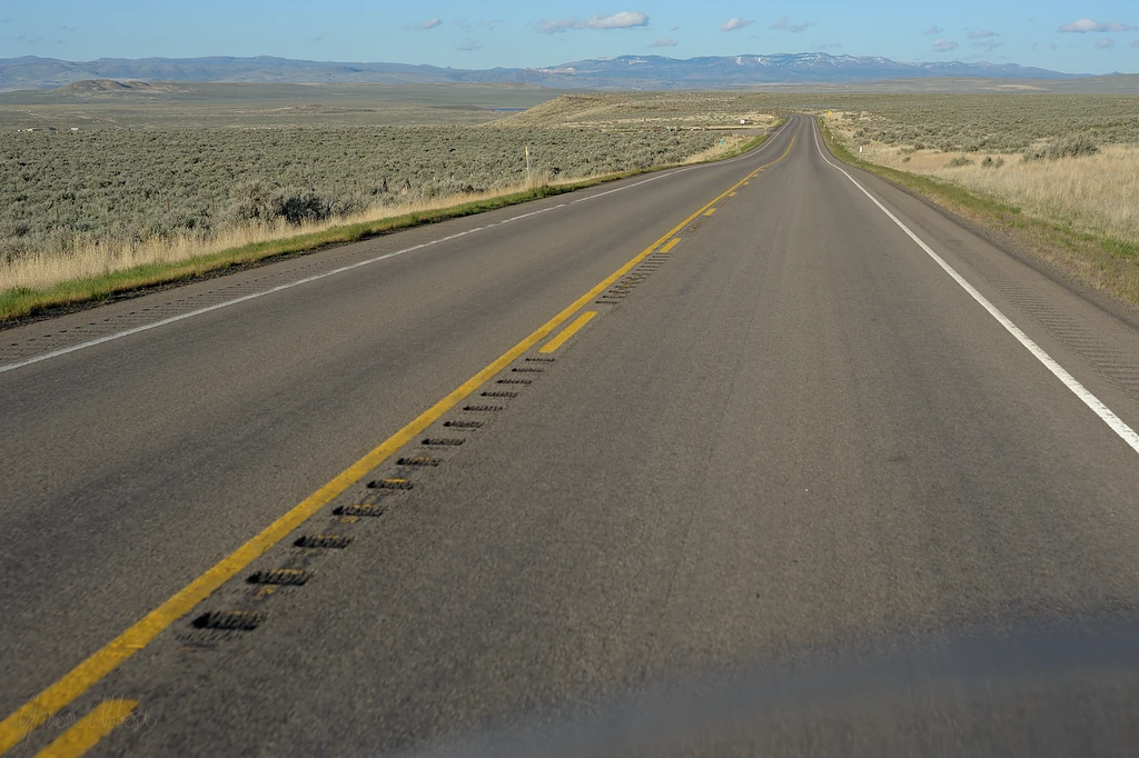
Heated grips and music: on
I pulled off by the JV Café in Jordan Valley to use their WiFi to send a text home to let them know all as was well. Other than that, it was an uninterrupted highway cruise home. What a great ride.